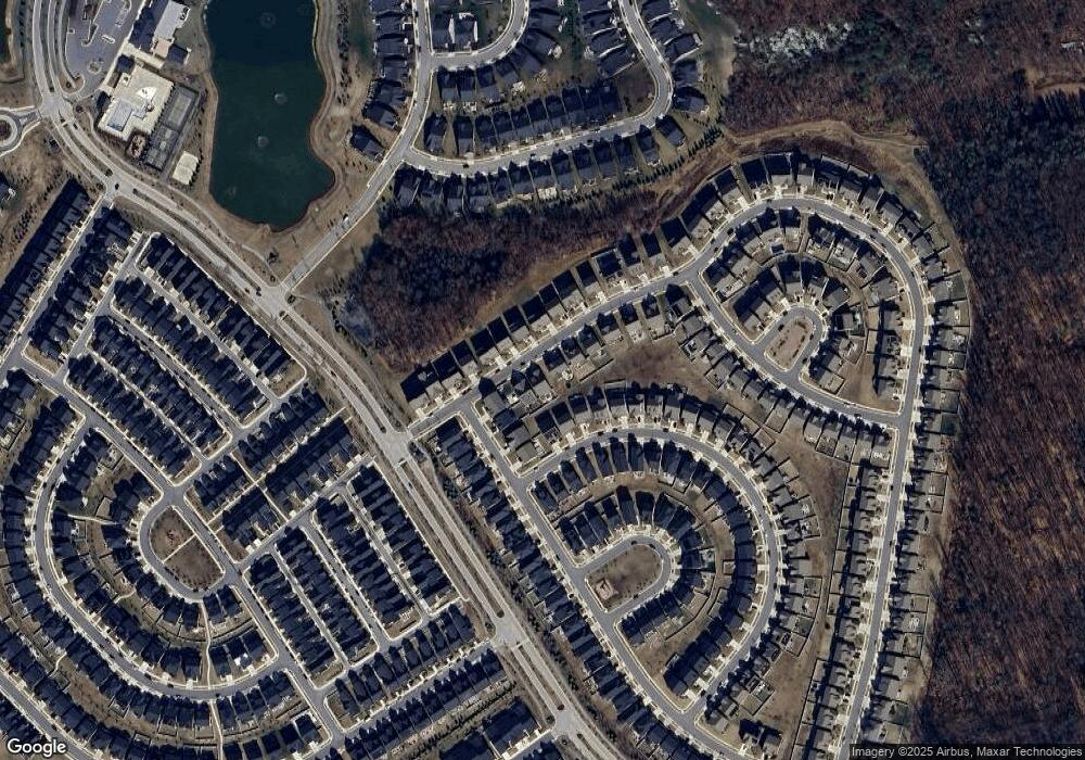
2885 Broad Wing Dr Odenton, MD 21113
Estimated Value: $858,000 - $919,000
--
Bed
1
Bath
2,961
Sq Ft
$301/Sq Ft
Est. Value
About This Home
This home is located at 2885 Broad Wing Dr, Odenton, MD 21113 and is currently estimated at $891,009, approximately $300 per square foot. 2885 Broad Wing Dr is a home located in Anne Arundel County with nearby schools including Piney Orchard Elementary School, Arundel Middle School, and Arundel High School.
Ownership History
Date
Name
Owned For
Owner Type
Purchase Details
Closed on
Feb 25, 2020
Sold by
Stanley Martin Companies Llc
Bought by
Mcclain Eric and Mcclain Erika
Current Estimated Value
Home Financials for this Owner
Home Financials are based on the most recent Mortgage that was taken out on this home.
Original Mortgage
$510,221
Outstanding Balance
$452,726
Interest Rate
3.6%
Mortgage Type
New Conventional
Estimated Equity
$438,283
Purchase Details
Closed on
Nov 3, 2017
Sold by
Two Rivers Associates Llc
Bought by
Sm Aruundel Neighborhoods Llc
Create a Home Valuation Report for This Property
The Home Valuation Report is an in-depth analysis detailing your home's value as well as a comparison with similar homes in the area
Home Values in the Area
Average Home Value in this Area
Purchase History
| Date | Buyer | Sale Price | Title Company |
|---|---|---|---|
| Mcclain Eric | $680,295 | First Excel Title Llc | |
| Sm Aruundel Neighborhoods Llc | $2,265,000 | None Available |
Source: Public Records
Mortgage History
| Date | Status | Borrower | Loan Amount |
|---|---|---|---|
| Open | Mcclain Eric | $510,221 |
Source: Public Records
Tax History Compared to Growth
Tax History
| Year | Tax Paid | Tax Assessment Tax Assessment Total Assessment is a certain percentage of the fair market value that is determined by local assessors to be the total taxable value of land and additions on the property. | Land | Improvement |
|---|---|---|---|---|
| 2025 | $9,253 | $716,900 | $173,400 | $543,500 |
| 2024 | $9,253 | $701,733 | $0 | $0 |
| 2023 | $7,497 | $686,567 | $0 | $0 |
| 2022 | $8,472 | $671,400 | $214,500 | $456,900 |
| 2021 | $16,774 | $665,233 | $0 | $0 |
| 2020 | $8,177 | $659,067 | $0 | $0 |
| 2019 | $3,688 | $78,000 | $78,000 | $0 |
| 2018 | $678 | $66,867 | $0 | $0 |
| 2017 | $960 | $55,733 | $0 | $0 |
| 2016 | -- | $44,900 | $0 | $0 |
| 2015 | -- | $44,900 | $0 | $0 |
| 2014 | -- | $44,900 | $0 | $0 |
Source: Public Records
Map
Nearby Homes
- 2845 Broad Wing Dr
- 2816 Hyssop Dr
- 2791 Golden Aster Place
- 1306 Heron Rookery Way
- 2704 Grasshopper Dr
- 1525 Spikerush Dr
- 1358 Heron Rookery Way
- 1240 Beaver Tree Dr
- 2645 Orchard Oriole Way
- 1114 White Clover Ln
- 2834 Dragon Fly Way
- 1219 Beaver Tree Dr
- 3035 Woodchuck Way
- 1455 Catbriar Way
- Treviso Plan at Two Rivers - All Ages Single-Family Homes
- Santorini Plan at Two Rivers - All Ages Single-Family Homes
- Dresden Plan at Two Rivers - All Ages Single-Family Homes
- Clarkson Plan at Two Rivers - All Ages Single-Family Homes
- Lisbon Plan at Two Rivers - All Ages Single-Family Homes
- 2638 Broadhorn Dr Unit ALL AGES
- 2780 Golden Aster Place
- 2887 Broad Wing Dr
- 2778 Golden Aster Place
- 2881 Broad Wing Dr
- 2879 Broad Wing Dr
- 0 Broad Wing Dr Unit 1001961072
- 0 Broad Wing Dr Unit 1001960954
- 0 Broad Wing Dr Unit 1007542128
- 0 Broad Wing Dr Unit 1007542086
- 0 Broad Wing Dr Unit 1001545154
- 0 Broad Wing Dr Unit 1002139270
- 0 Broad Wing Dr Unit 1002275752
- 0 Broad Wing Dr Unit 1002139246
- 0 Broad Wing Dr Unit AA10248751
- 0 Broad Wing Dr Unit AA10228108
- 0 Broad Wing Dr Unit AA10228089
- 0 Broad Wing Dr Unit AA10227879
- 0 Broad Wing Dr Unit AA10162626
- 0 Broad Wing Dr Unit AA10148648
- 0 Broad Wing Dr Unit AA10148644
