289 Blue Bluff Ridge Martinsville, IN 46151
Estimated Value: $415,000 - $568,367
3
Beds
3
Baths
4,896
Sq Ft
$99/Sq Ft
Est. Value
About This Home
This home is located at 289 Blue Bluff Ridge, Martinsville, IN 46151 and is currently estimated at $484,842, approximately $99 per square foot. 289 Blue Bluff Ridge is a home located in Morgan County with nearby schools including Martinsville High School.
Ownership History
Date
Name
Owned For
Owner Type
Purchase Details
Closed on
Mar 25, 2016
Sold by
Mayo Randy J and Mayo Jane M
Bought by
Mayo Randy J
Current Estimated Value
Home Financials for this Owner
Home Financials are based on the most recent Mortgage that was taken out on this home.
Original Mortgage
$37,000
Interest Rate
3.68%
Mortgage Type
Credit Line Revolving
Create a Home Valuation Report for This Property
The Home Valuation Report is an in-depth analysis detailing your home's value as well as a comparison with similar homes in the area
Home Values in the Area
Average Home Value in this Area
Purchase History
| Date | Buyer | Sale Price | Title Company |
|---|---|---|---|
| Mayo Randy J | -- | None Available |
Source: Public Records
Mortgage History
| Date | Status | Borrower | Loan Amount |
|---|---|---|---|
| Closed | Mayo Randy J | $37,000 |
Source: Public Records
Tax History Compared to Growth
Tax History
| Year | Tax Paid | Tax Assessment Tax Assessment Total Assessment is a certain percentage of the fair market value that is determined by local assessors to be the total taxable value of land and additions on the property. | Land | Improvement |
|---|---|---|---|---|
| 2024 | $3,188 | $512,400 | $111,900 | $400,500 |
| 2023 | $3,140 | $512,600 | $111,900 | $400,700 |
| 2022 | $2,831 | $479,200 | $111,900 | $367,300 |
| 2021 | $2,203 | $400,400 | $84,400 | $316,000 |
| 2020 | $2,084 | $395,500 | $84,400 | $311,100 |
| 2019 | $2,107 | $373,500 | $84,400 | $289,100 |
| 2018 | $1,967 | $358,600 | $84,400 | $274,200 |
| 2017 | $1,846 | $337,300 | $84,400 | $252,900 |
| 2016 | $1,716 | $295,600 | $84,400 | $211,200 |
| 2014 | $1,393 | $300,500 | $84,400 | $216,100 |
| 2013 | $1,393 | $303,000 | $84,400 | $218,600 |
Source: Public Records
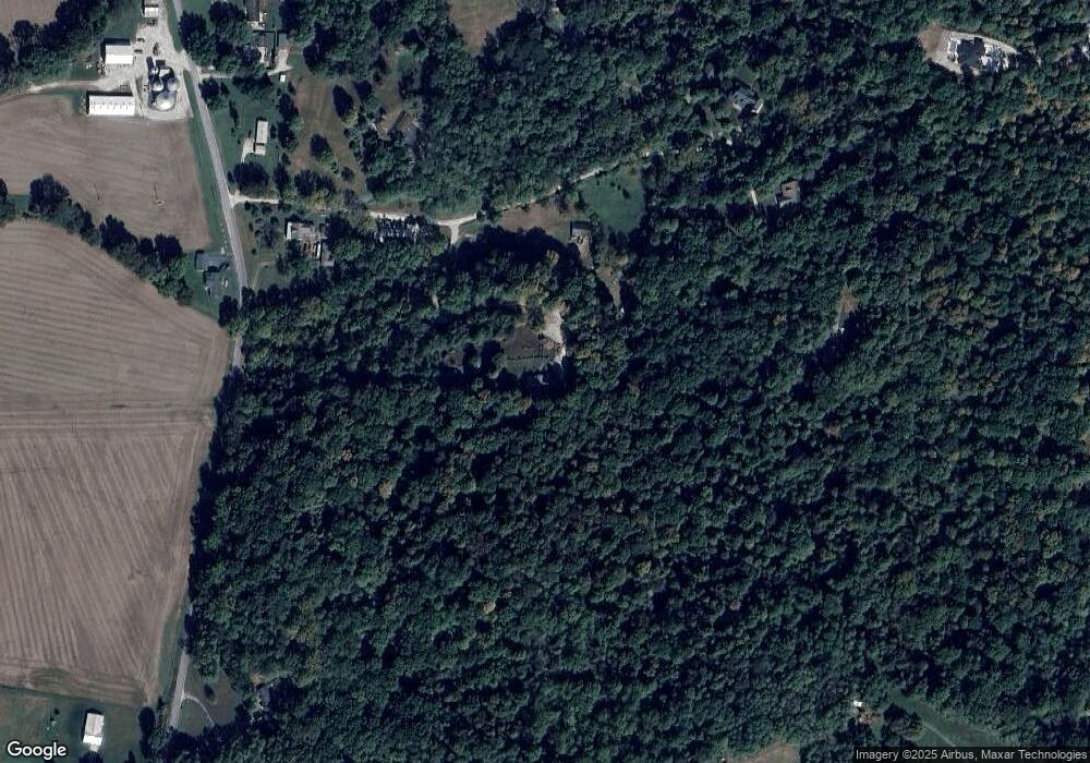
Map
Nearby Homes
- 1675 Lincoln Hill Rd
- 2101 N Wolf Cove
- 2131 N Wolf Den Ln
- 766 E Timber Dr
- 2056 N Cobblestone Ct
- 2076 N Cobblestone Ct
- 2086 N Cobblestone Ct
- 200 Bailliere Dr
- 105 Wood Place
- 0 N Blue Bluff Rd Unit MBR22031848
- 880 Riverview Dr
- 2240 Wilbur Rd
- 1550 Fox Hollow Dr
- 2770 State Road 67 N
- Norway Plan at Hanna Farms - Arbor Series
- Empress Plan at Hanna Farms - Arbor Series
- Cooper Plan at Hanna Farms - Arbor Series
- 1128 S Thomas Dr
- Ashton Plan at Hanna Farms - Arbor Series
- Chestnut Plan at Hanna Farms - Arbor Series
- 289 Blue Bluff Ridge
- 532 Blue Bluff Ridge
- 2155 N Blue Bluff Rd
- 202 Blue Bluff Ridge
- 532 E Blue Bluff Ridge
- 520 Blue Bluff Ridge
- 520 E Blue Bluff Ridge
- 462 Blue Bluff Ridge
- 462 E Blue Bluff Ridge
- 2160 N Blue Bluff Rd
- 2175 N Blue Bluff Rd
- 430 Blue Bluff Ridge
- 430 E Blue Bluff Ridge
- 2183 N Blue Bluff Rd
- 2049 N Blue Bluff Rd
- 2189 N Blue Bluff Rd
- 2199 N Blue Bluff Rd
- 2205 N Blue Bluff Rd
- 2005 N Blue Bluff Rd
- 2150 N Wolf Den Ln