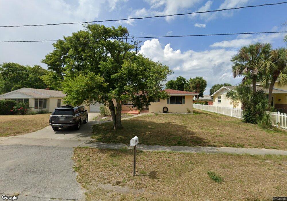
289 Brookline Ave Daytona Beach, FL 32118
Estimated Value: $369,000 - $403,000
2
Beds
2
Baths
1,862
Sq Ft
$206/Sq Ft
Est. Value
About This Home
This home is located at 289 Brookline Ave, Daytona Beach, FL 32118 and is currently estimated at $383,458, approximately $205 per square foot. 289 Brookline Ave is a home located in Volusia County with nearby schools including Campbell Middle School, Seabreeze High School, and Lourdes Academy.
Ownership History
Date
Name
Owned For
Owner Type
Purchase Details
Closed on
Feb 27, 2018
Sold by
Whelan Lucianna
Bought by
Whelan Lucianna and Porter Theresa
Current Estimated Value
Purchase Details
Closed on
Feb 3, 2000
Sold by
Angione Lucia
Bought by
Angione Lucia and Whelan Lucianna
Purchase Details
Closed on
Feb 10, 1995
Sold by
Angione Vito
Bought by
Angione Lucia
Purchase Details
Closed on
Oct 15, 1983
Bought by
Whelan Lucianna
Purchase Details
Closed on
Jul 15, 1983
Bought by
Whelan Lucianna
Purchase Details
Closed on
Jul 15, 1982
Bought by
Whelan Lucianna
Create a Home Valuation Report for This Property
The Home Valuation Report is an in-depth analysis detailing your home's value as well as a comparison with similar homes in the area
Home Values in the Area
Average Home Value in this Area
Purchase History
| Date | Buyer | Sale Price | Title Company |
|---|---|---|---|
| Whelan Lucianna | -- | Attorney | |
| Angione Lucia | -- | -- | |
| Angione Lucia | -- | -- | |
| Whelan Lucianna | $60,000 | -- | |
| Whelan Lucianna | $100 | -- | |
| Whelan Lucianna | $52,000 | -- |
Source: Public Records
Tax History Compared to Growth
Tax History
| Year | Tax Paid | Tax Assessment Tax Assessment Total Assessment is a certain percentage of the fair market value that is determined by local assessors to be the total taxable value of land and additions on the property. | Land | Improvement |
|---|---|---|---|---|
| 2025 | $3,621 | $259,040 | -- | -- |
| 2024 | $3,621 | $251,740 | -- | -- |
| 2023 | $3,621 | $244,408 | $0 | $0 |
| 2022 | $3,541 | $237,289 | $0 | $0 |
| 2021 | $3,633 | $230,378 | $0 | $0 |
| 2020 | $3,578 | $227,197 | $51,131 | $176,066 |
| 2019 | $4,250 | $216,078 | $51,131 | $164,947 |
| 2018 | $1,315 | $107,376 | $0 | $0 |
| 2017 | $1,322 | $105,167 | $0 | $0 |
| 2016 | $1,340 | $103,004 | $0 | $0 |
| 2015 | $1,390 | $102,288 | $0 | $0 |
| 2014 | $1,386 | $101,476 | $0 | $0 |
Source: Public Records
Map
Nearby Homes
- 268 Hartford Ave
- 238 Morningside Ave
- 311 Pelican Ave
- 376 Williams Ave
- 2101 N Atlantic Ave Unit 10
- 2101 N Atlantic Ave Unit 1
- 0 Pelican Ave
- 2200 N Atlantic Ave Unit 1602
- 1608 N Halifax Ave
- 400 Auburn Dr Unit 3
- 2300 N Atlantic Ave Unit 203
- 2300 N Atlantic Ave Unit 1701
- 2300 N Atlantic Ave Unit 1402
- 2300 N Atlantic Ave Unit 303
- 215 Woodland Ave
- 1619 N Halifax Ave
- 1900 N Atlantic Ave Unit 1603
- 424 Pelican Ave
- 1800 N Atlantic Ave
- 1517 N Grandview Ave
- 295 Brookline Ave
- 285 Brookline Ave
- 297 Brookline Ave
- 281 Brookline Ave
- 2011 N Oleander Ave
- 298 Morningside Ave
- 294 Morningside Ave
- 2017 N Oleander Ave
- 2001 N Oleander Ave
- 275 Brookline Ave
- 288 Brookline Ave
- 296 Brookline Ave
- 290 Morningside Ave
- 298 Brookline Ave
- 280 Brookline Ave
- 271 Brookline Ave
- 1919 N Oleander Ave
- 276 Brookline Ave
- 280 Morningside Ave
- 1915 N Oleander Ave