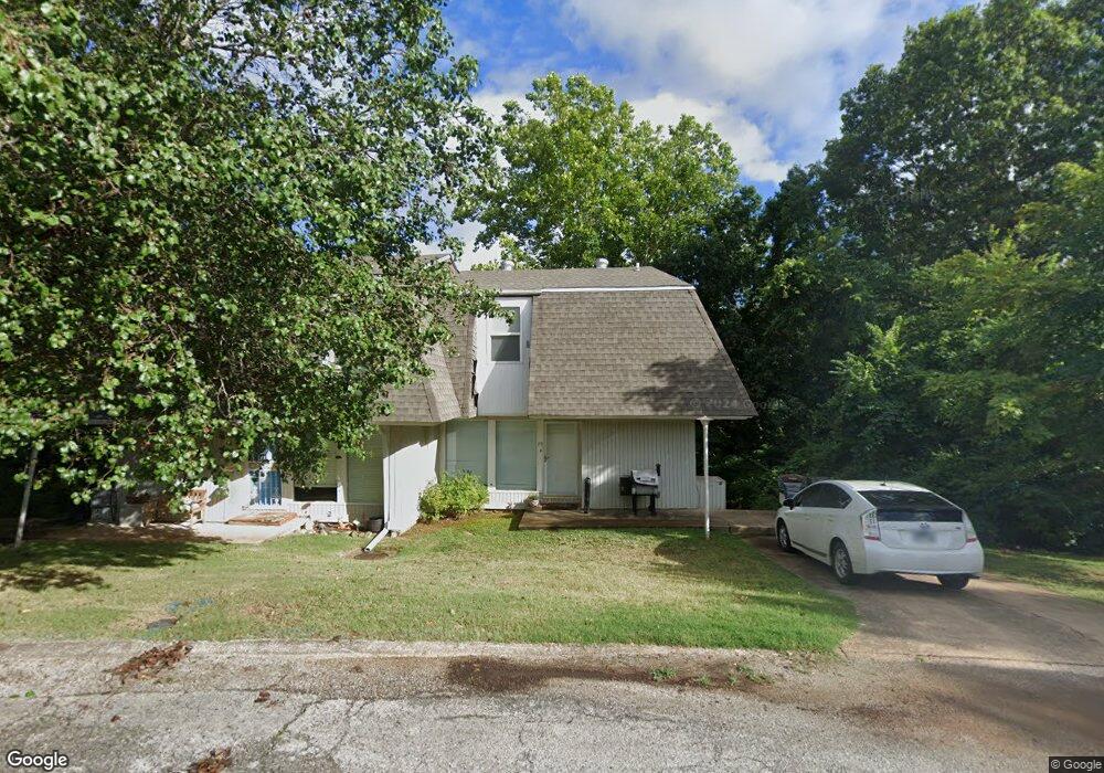
29 Annette Dr Cherokee Village, AR 72529
Estimated Value: $87,440 - $107,000
--
Bed
3
Baths
1,186
Sq Ft
$82/Sq Ft
Est. Value
About This Home
This home is located at 29 Annette Dr, Cherokee Village, AR 72529 and is currently estimated at $97,610, approximately $82 per square foot. 29 Annette Dr is a home located in Sharp County with nearby schools including Cherokee Elementary School, Highland Middle School, and Highland High School.
Ownership History
Date
Name
Owned For
Owner Type
Purchase Details
Closed on
Sep 9, 2021
Sold by
Wayne Crego Phillip
Bought by
North American Land Corporation
Current Estimated Value
Purchase Details
Closed on
Dec 10, 2016
Sold by
Jpmorgan Chase Bank Na
Bought by
Chego Philip
Purchase Details
Closed on
Mar 5, 2013
Sold by
Cathey James L and Cathey Connie R
Bought by
Farris Heather M
Home Financials for this Owner
Home Financials are based on the most recent Mortgage that was taken out on this home.
Original Mortgage
$54,944
Interest Rate
3.44%
Mortgage Type
New Conventional
Create a Home Valuation Report for This Property
The Home Valuation Report is an in-depth analysis detailing your home's value as well as a comparison with similar homes in the area
Home Values in the Area
Average Home Value in this Area
Purchase History
| Date | Buyer | Sale Price | Title Company |
|---|---|---|---|
| North American Land Corporation | $64,000 | Homestead Abstract & Title | |
| Chego Philip | $18,000 | Bay National Title Company | |
| Farris Heather M | $53,000 | None Available |
Source: Public Records
Mortgage History
| Date | Status | Borrower | Loan Amount |
|---|---|---|---|
| Previous Owner | Farris Heather M | $54,944 | |
| Closed | Chego Philip | $0 |
Source: Public Records
Tax History Compared to Growth
Tax History
| Year | Tax Paid | Tax Assessment Tax Assessment Total Assessment is a certain percentage of the fair market value that is determined by local assessors to be the total taxable value of land and additions on the property. | Land | Improvement |
|---|---|---|---|---|
| 2025 | $431 | $15,410 | $1,500 | $13,910 |
| 2024 | $392 | $15,410 | $1,500 | $13,910 |
| 2023 | $359 | $15,410 | $1,500 | $13,910 |
| 2022 | $597 | $8,000 | $1,500 | $6,500 |
| 2021 | $270 | $8,000 | $1,500 | $6,500 |
| 2020 | $333 | $8,000 | $1,500 | $6,500 |
| 2019 | $805 | $11,560 | $1,500 | $10,060 |
| 2018 | $805 | $11,560 | $1,500 | $10,060 |
| 2017 | $438 | $11,560 | $1,500 | $10,060 |
| 2016 | $590 | $11,560 | $1,500 | $10,060 |
| 2015 | -- | $11,560 | $1,500 | $10,060 |
| 2014 | -- | $13,630 | $1,500 | $12,130 |
| 2013 | -- | $13,630 | $1,500 | $12,130 |
Source: Public Records
Map
Nearby Homes
- 12 Annette Rd
- 16 Annette Rd
- 8 Annette Rd
- 7 Annette Rd
- 6 Annette Rd
- 11 Whispering Winds Trace
- 7 Owego Cir
- 3 Akokisa Dr
- 29 W Lakeshore Dr
- 4 Tenkiller Trail
- 8 Spring River Ln
- 10 Spring River Ln
- 45 W Lakeshore Dr
- 20 Tenkiller Ln
- 37 Keno Dr
- 28 Skyline Dr
- 78 Altakima Cir
- L-17, B-2 W Lakeshore Dr
- 0 W Lakeshore Dr Unit 25010979
- L-25 B-7 Navajo Trace
- 31 Annette Dr
- 27 Annette Dr
- 25 Annette Dr
- 0 Annette Rd Unit 16029345
- 0 Annette Rd Unit 16029343
- 0 Annette Rd Unit 16029341
- 0 Annette Rd Unit 16005344
- 0 Annette Rd Unit 16011678
- 0 Annette Rd Unit 16018937
- 0 Annette Rd Unit 17001450
- 0 Annette Rd Unit 16000038
- 0 Annette Rd Unit 19023006
- 16 Annette Dr
- 23 Annette Dr
- 14 Annette Dr
- 21 Annette Rd
- 21 Annette Dr
- 12 Annette Dr
- 18 Annette Dr
- 20 Annette Dr