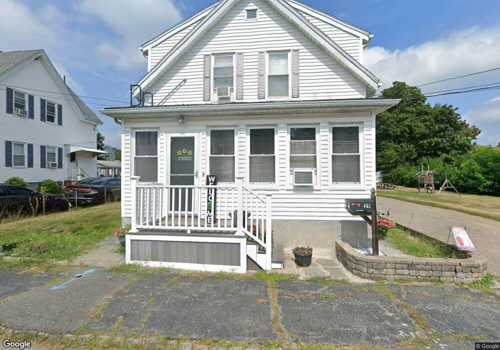
29 Benefit St Taunton, MA 02780
City Center NeighborhoodEstimated Value: $450,000 - $612,000
4
Beds
2
Baths
1,530
Sq Ft
$327/Sq Ft
Est. Value
About This Home
This home is located at 29 Benefit St, Taunton, MA 02780 and is currently estimated at $500,268, approximately $326 per square foot. 29 Benefit St is a home located in Bristol County with nearby schools including Elizabeth Pole School, Taunton High School, and John F. Parker Middle School.
Ownership History
Date
Name
Owned For
Owner Type
Purchase Details
Closed on
Nov 29, 2004
Sold by
Costa Arthur P and Costa Elinor F
Bought by
Babbitt Christine and Pereira Gilbert
Current Estimated Value
Home Financials for this Owner
Home Financials are based on the most recent Mortgage that was taken out on this home.
Original Mortgage
$284,534
Outstanding Balance
$142,685
Interest Rate
5.75%
Mortgage Type
Purchase Money Mortgage
Estimated Equity
$357,583
Create a Home Valuation Report for This Property
The Home Valuation Report is an in-depth analysis detailing your home's value as well as a comparison with similar homes in the area
Home Values in the Area
Average Home Value in this Area
Purchase History
| Date | Buyer | Sale Price | Title Company |
|---|---|---|---|
| Babbitt Christine | $289,000 | -- |
Source: Public Records
Mortgage History
| Date | Status | Borrower | Loan Amount |
|---|---|---|---|
| Open | Babbitt Christine | $284,534 |
Source: Public Records
Tax History Compared to Growth
Tax History
| Year | Tax Paid | Tax Assessment Tax Assessment Total Assessment is a certain percentage of the fair market value that is determined by local assessors to be the total taxable value of land and additions on the property. | Land | Improvement |
|---|---|---|---|---|
| 2025 | $5,021 | $459,000 | $108,200 | $350,800 |
| 2024 | $4,522 | $404,100 | $108,200 | $295,900 |
| 2023 | $4,252 | $352,900 | $108,200 | $244,700 |
| 2022 | $3,842 | $291,500 | $90,200 | $201,300 |
| 2021 | $3,736 | $263,100 | $82,000 | $181,100 |
| 2020 | $3,657 | $246,100 | $82,000 | $164,100 |
| 2019 | $3,365 | $213,500 | $82,000 | $131,500 |
| 2018 | $3,246 | $206,500 | $82,800 | $123,700 |
| 2017 | $3,007 | $191,400 | $78,500 | $112,900 |
| 2016 | $2,891 | $184,400 | $76,200 | $108,200 |
| 2015 | $2,583 | $172,100 | $75,000 | $97,100 |
| 2014 | $2,514 | $172,100 | $75,000 | $97,100 |
Source: Public Records
Map
Nearby Homes
- 14 Wilbur St
- 6 Makepeace Ave
- 37 Winter St
- 22 John St Unit 22
- 9 Bradford St
- 30 Buffington St
- 9 Jefferson St
- 78 Arlington St Unit 2
- 78 Arlington St Unit 3
- 78 Arlington St Unit 1
- 54 Adams St
- 5 Dean Ave
- 28 Madison St
- 27 Monroe St
- 31 Church Green Unit 303
- 215 Longmeadow Rd Unit 604
- 12 Oxford St
- 48 Taunton Green
- 43 Avon St
- 110 Dean St Unit 102