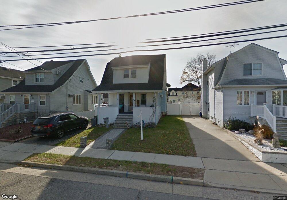
29 Ray St Freeport, NY 11520
Estimated Value: $509,000 - $520,211
2
Beds
1
Bath
934
Sq Ft
$551/Sq Ft
Est. Value
About This Home
This home is located at 29 Ray St, Freeport, NY 11520 and is currently estimated at $514,606, approximately $550 per square foot. 29 Ray St is a home located in Nassau County with nearby schools including Columbus Avenue School, Caroline G. Atkinson Intermediate School, and John W Dodd Middle School.
Ownership History
Date
Name
Owned For
Owner Type
Purchase Details
Closed on
Apr 15, 2019
Sold by
Pupa Michael and Pupa Frank Erica
Bought by
Frank Erica
Current Estimated Value
Home Financials for this Owner
Home Financials are based on the most recent Mortgage that was taken out on this home.
Original Mortgage
$294,057
Interest Rate
3.62%
Mortgage Type
FHA
Purchase Details
Closed on
Aug 11, 2011
Sold by
Dzienius Robert L and Dzienius Adele L
Bought by
Pupa Michael and Pupa Frank Erica
Home Financials for this Owner
Home Financials are based on the most recent Mortgage that was taken out on this home.
Original Mortgage
$209,979
Interest Rate
4.25%
Mortgage Type
FHA
Create a Home Valuation Report for This Property
The Home Valuation Report is an in-depth analysis detailing your home's value as well as a comparison with similar homes in the area
Home Values in the Area
Average Home Value in this Area
Purchase History
| Date | Buyer | Sale Price | Title Company |
|---|---|---|---|
| Frank Erica | -- | Stewart Title | |
| Pupa Michael | $231,000 | -- |
Source: Public Records
Mortgage History
| Date | Status | Borrower | Loan Amount |
|---|---|---|---|
| Previous Owner | Frank Erica | $294,057 | |
| Previous Owner | Pupa Michael | $209,979 |
Source: Public Records
Tax History Compared to Growth
Tax History
| Year | Tax Paid | Tax Assessment Tax Assessment Total Assessment is a certain percentage of the fair market value that is determined by local assessors to be the total taxable value of land and additions on the property. | Land | Improvement |
|---|---|---|---|---|
| 2025 | $6,900 | $320 | $135 | $185 |
| 2024 | $670 | $304 | $128 | $176 |
| 2023 | $6,862 | $320 | $135 | $185 |
| 2022 | $6,862 | $320 | $135 | $185 |
| 2021 | $8,119 | $306 | $129 | $177 |
| 2020 | $5,589 | $441 | $426 | $15 |
| 2019 | $5,151 | $441 | $426 | $15 |
| 2018 | $4,949 | $441 | $0 | $0 |
| 2017 | $3,907 | $441 | $426 | $15 |
| 2016 | $4,569 | $441 | $380 | $61 |
| 2015 | $637 | $441 | $380 | $61 |
| 2014 | $637 | $441 | $380 | $61 |
| 2013 | $676 | $495 | $426 | $69 |
Source: Public Records
Map
Nearby Homes
- 51 Atlantic Ave
- 21 Stillwell Place
- 308 Bedell St
- 125 Garfield St
- 142 Gordon Place
- 121 Garfield St
- 30 E Bedell St
- 252 Arthur St
- 120 Sportsmans Ave
- 34 W 2nd St
- 177 Sportsmans Ave
- 193 Sportsmans Ave
- 208 Sportsmans Ave
- 121a Garfield St
- 69 E 1st St
- 18 Halsey St
- 356 Arthur St
- 159 Southside Ave
- 335 Arthur St
- 243 Sportsmans Ave