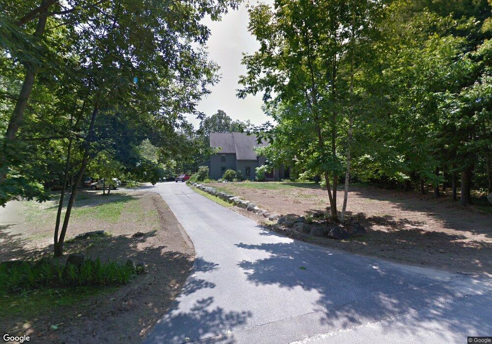
29 Stoneridge Dr Standish, ME 04084
North Gorham NeighborhoodEstimated Value: $775,000 - $1,213,000
5
Beds
3
Baths
5,300
Sq Ft
$194/Sq Ft
Est. Value
About This Home
This home is located at 29 Stoneridge Dr, Standish, ME 04084 and is currently estimated at $1,030,548, approximately $194 per square foot. 29 Stoneridge Dr is a home located in Cumberland County with nearby schools including Bonny Eagle High School.
Ownership History
Date
Name
Owned For
Owner Type
Purchase Details
Closed on
Mar 22, 2021
Sold by
Jalbert Thomas W and Jalbert Judith A
Bought by
Jalbert Thomas W and Jalbert Judith A
Current Estimated Value
Home Financials for this Owner
Home Financials are based on the most recent Mortgage that was taken out on this home.
Original Mortgage
$540,600
Interest Rate
3.1%
Mortgage Type
Purchase Money Mortgage
Create a Home Valuation Report for This Property
The Home Valuation Report is an in-depth analysis detailing your home's value as well as a comparison with similar homes in the area
Home Values in the Area
Average Home Value in this Area
Purchase History
| Date | Buyer | Sale Price | Title Company |
|---|---|---|---|
| Jalbert Thomas W | -- | None Available | |
| Jalbert Thomas W | -- | None Available |
Source: Public Records
Mortgage History
| Date | Status | Borrower | Loan Amount |
|---|---|---|---|
| Previous Owner | Jalbert Thomas W | $540,600 |
Source: Public Records
Tax History Compared to Growth
Tax History
| Year | Tax Paid | Tax Assessment Tax Assessment Total Assessment is a certain percentage of the fair market value that is determined by local assessors to be the total taxable value of land and additions on the property. | Land | Improvement |
|---|---|---|---|---|
| 2024 | $10,526 | $835,400 | $84,900 | $750,500 |
| 2023 | $9,658 | $697,300 | $70,500 | $626,800 |
| 2022 | $9,176 | $635,000 | $63,500 | $571,500 |
| 2021 | $9,045 | $603,000 | $58,300 | $544,700 |
| 2019 | $8,277 | $578,800 | $55,700 | $523,100 |
| 2018 | $7,132 | $573,600 | $50,500 | $523,100 |
| 2017 | $7,600 | $573,600 | $50,500 | $523,100 |
| 2016 | $7,354 | $573,600 | $50,500 | $523,100 |
| 2015 | $7,336 | $573,600 | $50,500 | $523,100 |
| 2013 | $6,929 | $573,600 | $50,500 | $523,100 |
Source: Public Records
Map
Nearby Homes
- 34 Stoneridge Dr
- 194 Hearthside Rd
- 41 Shaw Acres Rd
- 6 Gilman Rd
- 72 Sand Beach Rd
- 103 Basin Rd
- 32 Middle Jam Rd
- 79 Whites Point Rd
- Lot #1 Chamberlain Dr
- 55 Page Rd
- 10 Arlene Ln
- 34 Trails End Rd
- 59 Wild Acres Rd
- 27 Whipple Rd
- 1120 Chadbourne Rd
- 34 Robin Ln
- 215 N Gorham Rd
- 0 Turning Leaf Dr Unit 1640377
- 36 Whites Bridge Rd Unit 8
- 7 Papoose Island Rd
- 193 White's Bridge
- 23 Stoneridge Dr
- 33 Stoneridge Dr
- 193 Whites Bridge Rd
- 9 Stoneridge Dr
- 9 Boulder Dr
- 218 Whites Bridge Rd
- 198 Whites Bridge Rd
- 20 Stoneridge Dr
- 12 Boulter
- 10 Park Ave
- 181 Whites Bridge Rd
- 8 Boulder Dr
- 48 Stoneridge Dr
- 10 Stoneridge Dr
- 9 Pioneer Ln
- 173 Whites Bridge Rd
- 6 Pioneer Ln
- 29 Boulder Dr
- 11 Stoneridge Cir