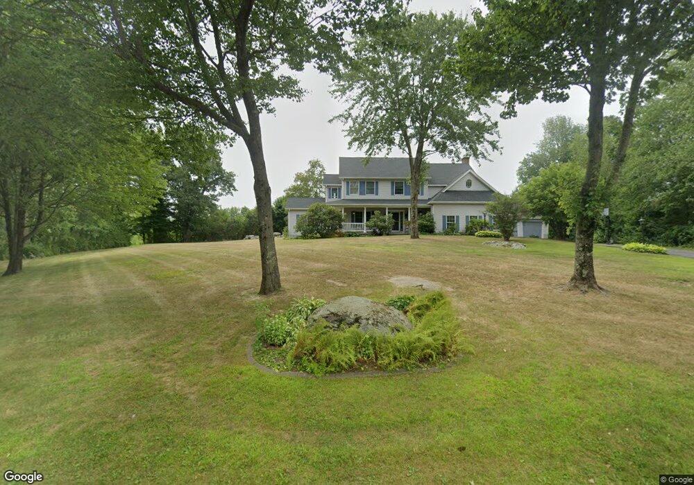
29 Victoria Dr New Hartford, CT 06057
Estimated Value: $681,489 - $843,000
4
Beds
4
Baths
3,069
Sq Ft
$245/Sq Ft
Est. Value
About This Home
This home is located at 29 Victoria Dr, New Hartford, CT 06057 and is currently estimated at $751,872, approximately $244 per square foot. 29 Victoria Dr is a home located in Litchfield County with nearby schools including Ann Antolini School, Northwestern Regional Middle School, and Northwestern Regional High School.
Ownership History
Date
Name
Owned For
Owner Type
Purchase Details
Closed on
Aug 23, 1994
Sold by
Ddm Ltd Liability Co
Bought by
Demichiel Jeffrey P and Demichiel Jullia A
Current Estimated Value
Create a Home Valuation Report for This Property
The Home Valuation Report is an in-depth analysis detailing your home's value as well as a comparison with similar homes in the area
Home Values in the Area
Average Home Value in this Area
Purchase History
| Date | Buyer | Sale Price | Title Company |
|---|---|---|---|
| Demichiel Jeffrey P | $54,900 | -- |
Source: Public Records
Mortgage History
| Date | Status | Borrower | Loan Amount |
|---|---|---|---|
| Open | Demichiel Jeffrey P | $198,200 | |
| Closed | Demichiel Jeffrey P | $200,000 | |
| Closed | Demichiel Jeffrey P | $50,000 | |
| Closed | Demichiel Jeffrey P | $20,000 |
Source: Public Records
Tax History Compared to Growth
Tax History
| Year | Tax Paid | Tax Assessment Tax Assessment Total Assessment is a certain percentage of the fair market value that is determined by local assessors to be the total taxable value of land and additions on the property. | Land | Improvement |
|---|---|---|---|---|
| 2025 | $12,177 | $440,090 | $63,770 | $376,320 |
| 2024 | $11,592 | $440,090 | $63,770 | $376,320 |
| 2023 | $9,961 | $310,590 | $63,770 | $246,820 |
| 2022 | $9,725 | $308,140 | $63,770 | $244,370 |
| 2021 | $9,374 | $295,890 | $63,770 | $232,120 |
| 2020 | $9,164 | $293,440 | $63,770 | $229,670 |
| 2019 | $8,901 | $288,540 | $63,770 | $224,770 |
| 2018 | $9,134 | $291,620 | $63,770 | $227,850 |
| 2017 | $8,842 | $291,620 | $63,770 | $227,850 |
| 2016 | $8,784 | $291,620 | $63,770 | $227,850 |
| 2015 | $8,789 | $291,620 | $63,770 | $227,850 |
| 2014 | $8,247 | $291,620 | $63,770 | $227,850 |
Source: Public Records
Map
Nearby Homes
- 1526 Litchfield Turnpike
- 1480 Litchfield Turnpike
- 714 Torringford St
- 175 Ramstein Rd
- 420 Allison Dr
- 595 Torringford St
- 111 Oxbow Dr
- 35 Hemlock Dr
- 100 Nutmeg Dr
- 211 Lyman Dr
- 1683 Torringford St
- 302 Gillette Rd
- 290 Gillette Rd
- 51 Bradford Rd
- 144 Woodlawn Dr
- 73 Shirley Rd
- 325 Circle Dr
- 116 Albany St
- 410 Circle Dr
- 68 Knollwood Dr
- 20 Victoria Dr
- 30 Victoria Dr
- 21 Victoria Dr
- 41 Victoria Dr
- 42 Victoria Dr
- 11 Victoria Dr
- LOT 3 Victoria Dr
- LOT 1 Victoria Dr
- Lot 2 Victoria Dr
- 16 Torringford East St
- 45 Victoria Dr
- 963 Torringford East St
- 1010 Torringford St E
- 906 Torringford East St
- 987 Torringford East St
- 977 Torringford East St
- 993 Torringford East St
- 1009 Torringford St E
- 906 Torringford St E Unit B
- 906 Torringford St E Unit Lot 3