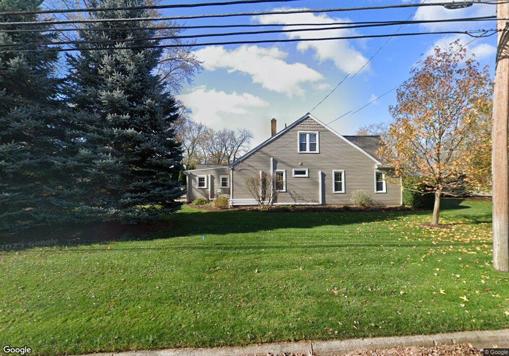
29051 Bretton St Livonia, MI 48152
Estimated Value: $250,621 - $322,000
--
Bed
2
Baths
1,811
Sq Ft
$161/Sq Ft
Est. Value
About This Home
This home is located at 29051 Bretton St, Livonia, MI 48152 and is currently estimated at $291,655, approximately $161 per square foot. 29051 Bretton St is a home located in Wayne County with nearby schools including Clarenceville High School, David Ellis Academy West, and Grand River Academy.
Ownership History
Date
Name
Owned For
Owner Type
Purchase Details
Closed on
Nov 26, 2019
Sold by
Flaherty Leclair L
Bought by
Flaherty Leclair L and Flaherty Leclair L
Current Estimated Value
Purchase Details
Closed on
Jun 27, 1994
Sold by
Connors Jeffrey J
Bought by
Timothy M and Flaherty Leclair L
Home Financials for this Owner
Home Financials are based on the most recent Mortgage that was taken out on this home.
Original Mortgage
$86,350
Interest Rate
8.61%
Mortgage Type
FHA
Create a Home Valuation Report for This Property
The Home Valuation Report is an in-depth analysis detailing your home's value as well as a comparison with similar homes in the area
Home Values in the Area
Average Home Value in this Area
Purchase History
| Date | Buyer | Sale Price | Title Company |
|---|---|---|---|
| Flaherty Leclair L | -- | None Available | |
| Timothy M | $86,750 | -- |
Source: Public Records
Mortgage History
| Date | Status | Borrower | Loan Amount |
|---|---|---|---|
| Closed | Timothy M | $86,350 |
Source: Public Records
Tax History Compared to Growth
Tax History
| Year | Tax Paid | Tax Assessment Tax Assessment Total Assessment is a certain percentage of the fair market value that is determined by local assessors to be the total taxable value of land and additions on the property. | Land | Improvement |
|---|---|---|---|---|
| 2025 | $1,204 | $124,400 | $0 | $0 |
| 2024 | $1,204 | $118,800 | $0 | $0 |
| 2023 | $1,151 | $98,600 | $0 | $0 |
| 2022 | $1,912 | $86,600 | $0 | $0 |
| 2021 | $1,861 | $80,300 | $0 | $0 |
| 2019 | $1,814 | $74,500 | $0 | $0 |
| 2018 | $997 | $64,600 | $0 | $0 |
| 2017 | $1,418 | $59,300 | $0 | $0 |
| 2016 | $1,606 | $59,300 | $0 | $0 |
| 2015 | $4,225 | $50,810 | $0 | $0 |
| 2012 | -- | $42,350 | $16,110 | $26,240 |
Source: Public Records
Map
Nearby Homes
- 29675 Nottingham Cir Unit 20
- 19921 Melvin St
- 20352 Beatrice St
- 20280 Melvin St
- 20229 Floral St
- 19499 Saint Francis St
- 20159 Deering St
- 29560 Clarita St Unit 11
- 20555 Angling St
- 20577 Angling St
- 18884 Lathers St
- 28418 W 8 Mile Rd Unit C1
- 28418 W 8 Mile Rd Unit A1
- 27725 Norfolk St
- 19661 Antago St
- 20135 Saint Francis St
- 29135 Scotten St
- 30285 7 Mile Rd
- 18496 Brentwood St
- 29721 Pickford St
- 29059 Bretton St
- 19693 Parkville St
- 29065 Bretton St
- 19774 Parkville St
- 29030 Bretton St
- 29040 Bretton St
- 29085 Bretton St
- 29050 Bretton St
- 19790 Parkville St
- 19657 Parkville St
- 19742 Parkville St
- 29070 Bretton St
- 19811 Parkville St
- 19710 Parkville St
- 19656 Parkville St
- 29105 Bretton St
- 19819 Parkville St
- 19642 Parkville St
- 29050 Saint Martins St
- 19810 Parkville St