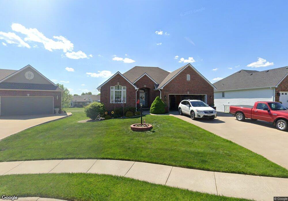
2906 Bel Air Ct Saint Joseph, MO 64506
East Saint Joseph NeighborhoodEstimated Value: $340,270 - $406,000
--
Bed
--
Bath
1,531
Sq Ft
$244/Sq Ft
Est. Value
About This Home
This home is located at 2906 Bel Air Ct, Saint Joseph, MO 64506 and is currently estimated at $373,818, approximately $244 per square foot. 2906 Bel Air Ct is a home located in Buchanan County with nearby schools including Oak Grove Elementary School, Bode Middle School, and Central High School.
Ownership History
Date
Name
Owned For
Owner Type
Purchase Details
Closed on
Jul 17, 2024
Sold by
Zegarac Debra Marie and Grieves Scott Edward
Bought by
Grieves Scott Edward and Grieves Debra Marie
Current Estimated Value
Purchase Details
Closed on
Apr 26, 2022
Sold by
Grieves Robert E and Grieves Mary
Bought by
Grieves Scott Edward and Zegarac Deborah Marie
Home Financials for this Owner
Home Financials are based on the most recent Mortgage that was taken out on this home.
Original Mortgage
$100,000
Interest Rate
5.11%
Mortgage Type
Balloon
Purchase Details
Closed on
Aug 25, 2011
Sold by
Grieves Robert E and Grieves Mary Ellen
Bought by
Grieves Robert E and Grieves Mary Ellen
Create a Home Valuation Report for This Property
The Home Valuation Report is an in-depth analysis detailing your home's value as well as a comparison with similar homes in the area
Home Values in the Area
Average Home Value in this Area
Purchase History
| Date | Buyer | Sale Price | Title Company |
|---|---|---|---|
| Grieves Scott Edward | -- | None Listed On Document | |
| Grieves Scott Edward | -- | First American Title | |
| Grieves Robert E | -- | None Available |
Source: Public Records
Mortgage History
| Date | Status | Borrower | Loan Amount |
|---|---|---|---|
| Previous Owner | Grieves Scott Edward | $100,000 |
Source: Public Records
Tax History Compared to Growth
Tax History
| Year | Tax Paid | Tax Assessment Tax Assessment Total Assessment is a certain percentage of the fair market value that is determined by local assessors to be the total taxable value of land and additions on the property. | Land | Improvement |
|---|---|---|---|---|
| 2024 | $2,621 | $37,340 | $5,990 | $31,350 |
| 2023 | $2,621 | $37,340 | $5,990 | $31,350 |
| 2022 | $2,427 | $37,340 | $5,990 | $31,350 |
| 2021 | $2,438 | $37,340 | $5,990 | $31,350 |
| 2020 | $2,424 | $37,340 | $5,990 | $31,350 |
| 2019 | $2,339 | $37,340 | $5,990 | $31,350 |
| 2018 | $2,108 | $37,340 | $5,990 | $31,350 |
| 2017 | $2,088 | $37,340 | $0 | $0 |
| 2015 | $2,036 | $37,340 | $0 | $0 |
| 2014 | $2,036 | $37,340 | $0 | $0 |
Source: Public Records
Map
Nearby Homes
- 4703 Wilshire Dr N
- 1901 Lion Rd
- 2409 Elephant Trail
- 0 N Pointe Dr
- 5411 N Pointe Dr
- 5408 N Pointe Dr
- 2 N Pointe Dr
- 5415 N Pointe Dr
- 5418 N Pointe Dr
- 4809 N Lakewood Dr
- 4902 Corinth Dr
- 4311 Hidden Valley Dr
- 4313 Hidden Valley Dr
- 4708 Corinth Dr
- 2607 Ashmat Ln
- 1414 Rifle Terrace
- 4216 Gene Field Rd
- 1505 Safari Dr
- 2306 Woodridge Ct
- 4304 Kensington Dr
- 2908 Bel Air Ct
- 2904 Bel Air Ct
- 2910 Bel Air Ct
- 2902 Bel Air Ct
- 2901 Bel Air Ct
- 2909 Bel Air Ct
- 2907 Bel Air Ct
- 4901 Ashbey Dr
- 4903 Ashbey Dr
- 4815 Ashbey Dr
- 4905 Ashbey Dr
- 4813 Ashbey Dr
- 2905 Bel Air Ct
- 4907 Ashbey Dr
- 4811 Ashbey Dr
- 2903 Bel Air Ct
- 4909 Ashbey Dr
- 4807 Ashbey Dr
- 4905 Wilshire Dr N
- 4913 Ashbey Dr