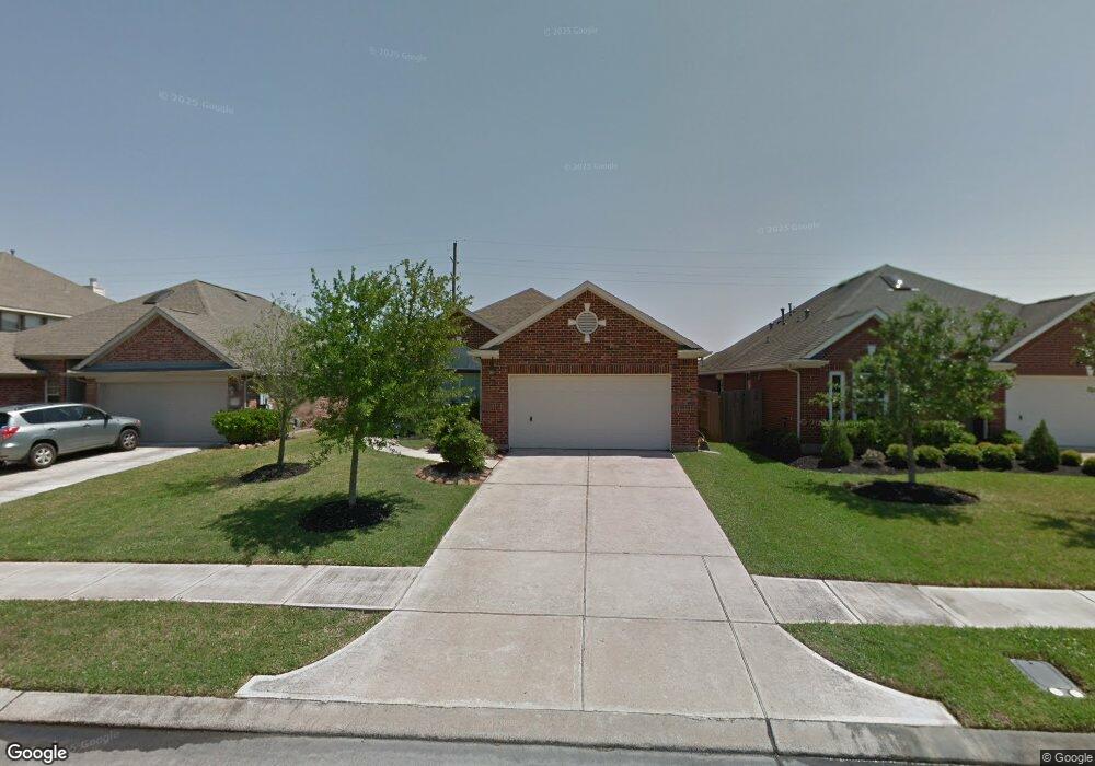
2907 Ashbrook Ln Pearland, TX 77584
Shadow Creek Ranch NeighborhoodEstimated Value: $339,977 - $364,000
3
Beds
2
Baths
2,093
Sq Ft
$169/Sq Ft
Est. Value
About This Home
This home is located at 2907 Ashbrook Ln, Pearland, TX 77584 and is currently estimated at $352,744, approximately $168 per square foot. 2907 Ashbrook Ln is a home located in Brazoria County with nearby schools including Shirley Dill Brothers Elementary School, DR Ronald E McNair Junior High School, and Shadow Creek High School.
Ownership History
Date
Name
Owned For
Owner Type
Purchase Details
Closed on
May 20, 2010
Sold by
Blandford Kristy and Blandford Neil T
Bought by
Berry Jennifer
Current Estimated Value
Home Financials for this Owner
Home Financials are based on the most recent Mortgage that was taken out on this home.
Original Mortgage
$160,550
Outstanding Balance
$108,084
Interest Rate
5.14%
Mortgage Type
New Conventional
Estimated Equity
$244,660
Purchase Details
Closed on
Sep 29, 2005
Sold by
Newmark Homes Lp
Bought by
Blandford Neil T and Bai Kristy Yu
Home Financials for this Owner
Home Financials are based on the most recent Mortgage that was taken out on this home.
Original Mortgage
$139,325
Interest Rate
5.76%
Mortgage Type
Fannie Mae Freddie Mac
Create a Home Valuation Report for This Property
The Home Valuation Report is an in-depth analysis detailing your home's value as well as a comparison with similar homes in the area
Home Values in the Area
Average Home Value in this Area
Purchase History
| Date | Buyer | Sale Price | Title Company |
|---|---|---|---|
| Berry Jennifer | -- | Old Republic Title Company O | |
| Blandford Neil T | -- | Universal Land Title |
Source: Public Records
Mortgage History
| Date | Status | Borrower | Loan Amount |
|---|---|---|---|
| Open | Berry Jennifer | $160,550 | |
| Previous Owner | Blandford Neil T | $139,325 |
Source: Public Records
Tax History Compared to Growth
Tax History
| Year | Tax Paid | Tax Assessment Tax Assessment Total Assessment is a certain percentage of the fair market value that is determined by local assessors to be the total taxable value of land and additions on the property. | Land | Improvement |
|---|---|---|---|---|
| 2025 | $6,260 | $348,953 | $36,000 | $322,340 |
| 2023 | $6,260 | $288,391 | $36,000 | $321,330 |
| 2022 | $7,170 | $262,174 | $33,000 | $251,040 |
| 2021 | $8,030 | $238,340 | $30,000 | $208,340 |
| 2020 | $8,523 | $238,340 | $30,000 | $208,340 |
| 2019 | $8,401 | $232,660 | $30,000 | $202,660 |
| 2018 | $7,687 | $214,000 | $30,000 | $184,000 |
| 2017 | $7,839 | $216,770 | $30,000 | $186,770 |
| 2016 | $7,319 | $212,670 | $30,000 | $182,670 |
| 2014 | $5,646 | $172,960 | $30,000 | $142,960 |
Source: Public Records
Map
Nearby Homes
- 12304 Shady Brook Dr
- 12312 Bend Creek Ln
- 3003 Mason Grove Ln
- 2703 Marble Brook Ln
- 12402 Pepper Creek Ln
- 12404 Baymeadow Dr
- 12501 Pepper Creek Ln
- 12503 Pepper Creek Ln
- 2625 Emerald Springs Ct
- 11812 Sea Shadow Bend
- 11610 Cross Spring Dr
- 2621 Cypress Springs Dr
- 11610 Waterwood Ct
- 2710 Sienna Springs Dr
- 12515 Stoney Creek Dr
- 11711 Summer Brook Ct
- 11608 Summer Moon Dr
- 2904 Morning Bay Dr
- 12506 Short Springs Dr
- 12812 Southport Dr
- 2905 Ashbrook Ln
- 2909 Ashbrook Ln
- 2903 Ashbrook Ln
- 2911 Ashbrook Ln
- 2913 Ashbrook Ln
- 2901 Ashbrook Ln
- 2906 Ashbrook Ln
- 2904 Ashbrook Ln
- 2908 Ashbrook Ln
- 2902 Ashbrook Ln
- 2915 Ashbrook Ln
- 2910 Ashbrook Ln
- 2912 Ashbrook Ln
- 2917 Ashbrook Ln
- 12301 Gentlebrook Dr
- 12303 Gentlebrook Dr
- 2914 Ashbrook Ln
- 2905 Laurel Brook Ln
- 2907 Laurel Brook Ln
- 12305 Gentlebrook Dr