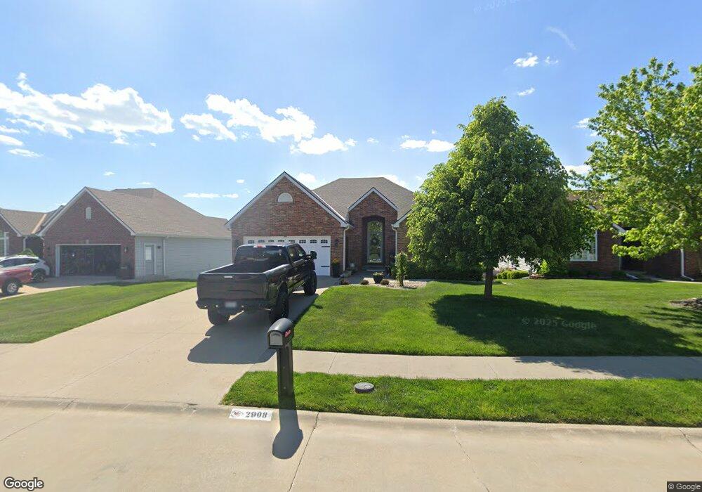
2908 Bel Air Ct Saint Joseph, MO 64506
East Saint Joseph NeighborhoodEstimated Value: $281,528 - $394,000
--
Bed
--
Bath
1,585
Sq Ft
$226/Sq Ft
Est. Value
About This Home
This home is located at 2908 Bel Air Ct, Saint Joseph, MO 64506 and is currently estimated at $358,882, approximately $226 per square foot. 2908 Bel Air Ct is a home located in Buchanan County with nearby schools including Oak Grove Elementary School, Bode Middle School, and Central High School.
Ownership History
Date
Name
Owned For
Owner Type
Purchase Details
Closed on
Aug 14, 2024
Sold by
Brant Linda L and Weddle Linda E
Bought by
Pierpoint Steven Kirk and Pierpoint Ellen
Current Estimated Value
Home Financials for this Owner
Home Financials are based on the most recent Mortgage that was taken out on this home.
Original Mortgage
$190,000
Outstanding Balance
$187,883
Interest Rate
6.95%
Mortgage Type
Seller Take Back
Estimated Equity
$170,999
Create a Home Valuation Report for This Property
The Home Valuation Report is an in-depth analysis detailing your home's value as well as a comparison with similar homes in the area
Home Values in the Area
Average Home Value in this Area
Purchase History
| Date | Buyer | Sale Price | Title Company |
|---|---|---|---|
| Pierpoint Steven Kirk | -- | First American Title |
Source: Public Records
Mortgage History
| Date | Status | Borrower | Loan Amount |
|---|---|---|---|
| Open | Pierpoint Steven Kirk | $190,000 |
Source: Public Records
Tax History Compared to Growth
Tax History
| Year | Tax Paid | Tax Assessment Tax Assessment Total Assessment is a certain percentage of the fair market value that is determined by local assessors to be the total taxable value of land and additions on the property. | Land | Improvement |
|---|---|---|---|---|
| 2024 | $2,686 | $38,280 | $5,890 | $32,390 |
| 2023 | $2,686 | $38,280 | $5,890 | $32,390 |
| 2022 | $2,487 | $38,280 | $5,890 | $32,390 |
| 2021 | $2,498 | $38,280 | $5,890 | $32,390 |
| 2020 | $2,484 | $38,280 | $5,890 | $32,390 |
| 2019 | $2,397 | $38,280 | $5,890 | $32,390 |
| 2018 | $2,160 | $38,280 | $5,890 | $32,390 |
| 2017 | $2,140 | $38,280 | $0 | $0 |
| 2015 | $2,086 | $38,280 | $0 | $0 |
| 2014 | $2,086 | $38,280 | $0 | $0 |
Source: Public Records
Map
Nearby Homes
- 4703 Wilshire Dr N
- 1901 Lion Rd
- 2409 Elephant Trail
- 0 N Pointe Dr
- 5411 N Pointe Dr
- 5408 N Pointe Dr
- 2 N Pointe Dr
- 5415 N Pointe Dr
- 5418 N Pointe Dr
- 4809 N Lakewood Dr
- 4902 Corinth Dr
- 4311 Hidden Valley Dr
- 4313 Hidden Valley Dr
- 4708 Corinth Dr
- 2607 Ashmat Ln
- 1414 Rifle Terrace
- 4216 Gene Field Rd
- 1505 Safari Dr
- 2306 Woodridge Ct
- 4304 Kensington Dr
- 2906 Bel Air Ct
- 2910 Bel Air Ct
- 2904 Bel Air Ct
- 2909 Bel Air Ct
- 2902 Bel Air Ct
- 2907 Bel Air Ct
- 4905 Wilshire Dr N
- 4907 Wilshire Dr N
- 2901 Bel Air Ct
- 2905 Bel Air Ct
- 4815 Ashbey Dr
- 4901 Ashbey Dr
- 4813 Ashbey Dr
- 4901 Wilshire Dr N
- 4811 Ashbey Dr
- 4909 Wilshire Dr N
- 4807 Ashbey Dr
- 4903 Ashbey Dr
- 4805 Ashbey Dr
- 4905 Ashbey Dr