2909 58th St SW Waverly, MN 55390
Estimated Value: $328,000 - $402,000
3
Beds
2
Baths
1,056
Sq Ft
$347/Sq Ft
Est. Value
About This Home
This home is located at 2909 58th St SW, Waverly, MN 55390 and is currently estimated at $366,612, approximately $347 per square foot. 2909 58th St SW is a home located in Wright County with nearby schools including Humphrey Elementary School, Winsted Elementary School, and Howard Lake-Waverly-Winsted Middle School.
Ownership History
Date
Name
Owned For
Owner Type
Purchase Details
Closed on
Jan 30, 2006
Sold by
Crawford Laurie Lynn
Bought by
Metzen Nicholas F
Current Estimated Value
Purchase Details
Closed on
May 27, 2004
Sold by
Ronsberg Gregory Duane
Bought by
Crawford Laurie L
Purchase Details
Closed on
May 21, 2004
Sold by
Danielson Ross L and Danielson Terri M
Bought by
Ronsberg Gregory Duane
Purchase Details
Closed on
Aug 27, 2003
Sold by
Foher Stephen and Foher Janice
Bought by
Ronberg Greg
Purchase Details
Closed on
May 26, 1999
Sold by
Fisher Stephen J and Fisher Janice M
Bought by
Mn Dept Of Transportation
Create a Home Valuation Report for This Property
The Home Valuation Report is an in-depth analysis detailing your home's value as well as a comparison with similar homes in the area
Home Values in the Area
Average Home Value in this Area
Purchase History
| Date | Buyer | Sale Price | Title Company |
|---|---|---|---|
| Metzen Nicholas F | $286,900 | -- | |
| Crawford Laurie L | $235,000 | -- | |
| Ronsberg Gregory Duane | $239,900 | -- | |
| Ronberg Greg | $239,900 | -- | |
| Mn Dept Of Transportation | $13,500 | -- |
Source: Public Records
Mortgage History
| Date | Status | Borrower | Loan Amount |
|---|---|---|---|
| Closed | Ronberg Greg | -- |
Source: Public Records
Tax History Compared to Growth
Tax History
| Year | Tax Paid | Tax Assessment Tax Assessment Total Assessment is a certain percentage of the fair market value that is determined by local assessors to be the total taxable value of land and additions on the property. | Land | Improvement |
|---|---|---|---|---|
| 2025 | $2,936 | $306,800 | $115,000 | $191,800 |
| 2024 | $2,942 | $307,300 | $125,000 | $182,300 |
| 2023 | $2,888 | $307,200 | $125,000 | $182,200 |
| 2022 | $2,636 | $294,500 | $125,000 | $169,500 |
| 2021 | $2,590 | $234,500 | $104,000 | $130,500 |
| 2020 | $2,630 | $227,500 | $104,000 | $123,500 |
| 2019 | $2,752 | $233,200 | $0 | $0 |
| 2018 | $2,446 | $216,800 | $0 | $0 |
| 2017 | $2,212 | $193,300 | $0 | $0 |
| 2016 | $2,412 | $0 | $0 | $0 |
| 2015 | $2,086 | $0 | $0 | $0 |
| 2014 | -- | $0 | $0 | $0 |
Source: Public Records
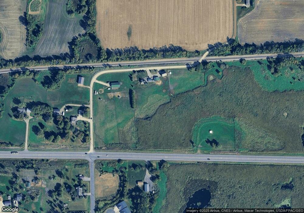
Map
Nearby Homes
- 2002 Apple Ln
- 2105 Birch Ln
- 2008 Apple Ln
- 2010 Apple Ln
- 2113 Birch Ln
- 6502 Dale Cir SW
- 6507 Dale Cir SW
- 419 66th St SW
- 204 Wilson St
- 331 Bavaria Ln
- 1766 US Highway 12 SW
- 815 Cologne Ln
- XX Sect-05 Twp-118 Range-026
- 151 Garner Cir
- 1012 Brandenburg Ln
- 1004 Brandenburg Ln
- 140 Garner Cir
- 1002 Brandenburg Ln
- The Oak Ridge Plan at Carrigan Meadows
- The Waterford Plan at Carrigan Meadows
- xxx Hwy 12
- 5877 Dempsey Ave SW
- xxxA Dempsey St SW
- 5939 Dempsey Ave SW
- 2909 Us Highway 12 SW
- 5742 Cushing Ave SW
- 6000 Dempsey Ave SW
- 5700 Cushing Ave SW
- 310 61st St SW
- 312 61st St SW
- 6067 Dempsey Ave SW
- 3122 Us Highway 12 SW
- 5525 Cushing Ave SW
- 315 61st St
- 313 61st St
- 311 61st St
- 309 61st St
- 307 61st St
- 305 61st St
- 303 61st St