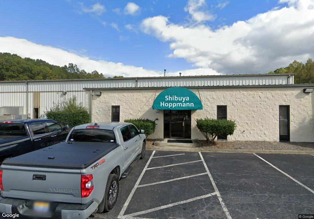
291 Dillard Rd Madison Heights, VA 24572
Estimated Value: $3,235,993
--
Bed
--
Bath
57,250
Sq Ft
$57/Sq Ft
Est. Value
About This Home
This home is located at 291 Dillard Rd, Madison Heights, VA 24572 and is currently estimated at $3,235,993, approximately $56 per square foot. 291 Dillard Rd is a home located in Amherst County with nearby schools including Madison Heights Elementary School, Monelison Middle School, and Amherst County High School.
Ownership History
Date
Name
Owned For
Owner Type
Purchase Details
Closed on
Mar 25, 2024
Sold by
Pemasong Woodlands Llc
Bought by
Shibuya Hoppmann Corporation
Current Estimated Value
Purchase Details
Closed on
Dec 30, 2019
Sold by
Hoppmann Properties
Bought by
Shibuya Hoppmann Corp
Create a Home Valuation Report for This Property
The Home Valuation Report is an in-depth analysis detailing your home's value as well as a comparison with similar homes in the area
Home Values in the Area
Average Home Value in this Area
Purchase History
| Date | Buyer | Sale Price | Title Company |
|---|---|---|---|
| Shibuya Hoppmann Corporation | -- | None Listed On Document | |
| Shibuya Hoppmann Corp | $1,950,000 | Pike Title |
Source: Public Records
Tax History Compared to Growth
Tax History
| Year | Tax Paid | Tax Assessment Tax Assessment Total Assessment is a certain percentage of the fair market value that is determined by local assessors to be the total taxable value of land and additions on the property. | Land | Improvement |
|---|---|---|---|---|
| 2025 | $11,833 | $1,939,900 | $116,500 | $1,823,400 |
| 2024 | $11,833 | $1,936,500 | $113,100 | $1,823,400 |
| 2023 | $11,813 | $1,936,500 | $113,100 | $1,823,400 |
| 2022 | $11,813 | $1,936,500 | $113,100 | $1,823,400 |
| 2021 | $11,813 | $1,936,500 | $113,100 | $1,823,400 |
| 2020 | $11,813 | $1,936,500 | $113,100 | $1,823,400 |
| 2019 | $10,220 | $1,675,400 | $113,100 | $1,562,300 |
| 2018 | $10,220 | $1,675,400 | $113,100 | $1,562,300 |
| 2017 | $10,220 | $1,675,400 | $113,100 | $1,562,300 |
| 2016 | $10,220 | $1,675,400 | $113,100 | $1,562,300 |
| 2015 | $4,691 | $1,675,400 | $113,100 | $1,562,300 |
| 2014 | $9,382 | $1,675,400 | $113,100 | $1,562,300 |
Source: Public Records
Map
Nearby Homes
- 115 Morgan Rd
- 687 Elon Rd
- 167 Mansfield Dr
- 0 Kings Rd Unit 335970
- 4512 S Amherst Hwy
- 4123 S Amherst Hwy
- 561 Oak Grove Dr
- 193 Daniels Dr
- 171 Woodvue Dr
- 103 Cedar St
- 0 Thunderbird Ridge Rd Unit 353724
- 172 Mays St
- 235 Hundley Ln
- 214 Lyttleton Ln
- 289 Todd Ln
- 272 Dixie Airport Rd
- 132 Melville Place
- 379 Winesap Rd
- 505 Royal Gardens Ct
- 327 Dixie Airport Rd
- 253 Dillard Rd
- 117 Enterprise Dr
- 237 Dillard Rd
- 118 Enterprise Dr
- 348 Dillard Rd
- 215 Dillard Rd
- 235 Gouyer Dr
- 191 Dillard Rd
- 198 Morgan Rd
- 161 Dillard Rd
- 186 Dillard Rd
- 205 Morgan Rd
- 159 Dillard Rd
- 188 Enterprise Dr
- 219 Mitchell Bell Rd
- 157 Dillard Rd Unit 2
- 157 Dillard Rd
- 199 Morgan Rd
- 193 Morgan Rd
- 192 Morgan Rd