291 Tall Oaks Dr Branson, MO 65616
Garber NeighborhoodEstimated Value: $315,210 - $366,000
--
Bed
--
Bath
1,598
Sq Ft
$216/Sq Ft
Est. Value
About This Home
This home is located at 291 Tall Oaks Dr, Branson, MO 65616 and is currently estimated at $344,803, approximately $215 per square foot. 291 Tall Oaks Dr is a home located in Taney County with nearby schools including Buchanan Intermediate School, Buchanan Elementary School, and Branson Junior High School.
Ownership History
Date
Name
Owned For
Owner Type
Purchase Details
Closed on
Mar 28, 2016
Sold by
Crawford Kaitlyn R and Crawford Ashley Brooke
Bought by
Tittle Tommy C and Tittle Lesa
Current Estimated Value
Home Financials for this Owner
Home Financials are based on the most recent Mortgage that was taken out on this home.
Original Mortgage
$163,900
Outstanding Balance
$129,371
Interest Rate
3.65%
Mortgage Type
VA
Estimated Equity
$215,432
Purchase Details
Closed on
Mar 26, 2010
Sold by
Homesales Inc
Bought by
Crawford Katlyn Regan and Crawford Ashley Brooke
Create a Home Valuation Report for This Property
The Home Valuation Report is an in-depth analysis detailing your home's value as well as a comparison with similar homes in the area
Home Values in the Area
Average Home Value in this Area
Purchase History
| Date | Buyer | Sale Price | Title Company |
|---|---|---|---|
| Tittle Tommy C | -- | None Available | |
| Crawford Katlyn Regan | -- | None Available |
Source: Public Records
Mortgage History
| Date | Status | Borrower | Loan Amount |
|---|---|---|---|
| Open | Tittle Tommy C | $163,900 |
Source: Public Records
Tax History Compared to Growth
Tax History
| Year | Tax Paid | Tax Assessment Tax Assessment Total Assessment is a certain percentage of the fair market value that is determined by local assessors to be the total taxable value of land and additions on the property. | Land | Improvement |
|---|---|---|---|---|
| 2025 | $1,510 | $24,850 | -- | -- |
| 2024 | $1,510 | $29,110 | -- | -- |
| 2023 | $1,510 | $29,110 | $0 | $0 |
| 2022 | $1,468 | $29,110 | $0 | $0 |
| 2021 | $1,460 | $29,110 | $0 | $0 |
| 2019 | $1,350 | $26,240 | $0 | $0 |
| 2018 | $1,352 | $26,240 | $0 | $0 |
| 2017 | $1,339 | $26,240 | $0 | $0 |
| 2016 | $1,336 | $26,240 | $0 | $0 |
| 2015 | $1,325 | $26,240 | $0 | $0 |
| 2014 | $1,322 | $27,370 | $0 | $0 |
Source: Public Records
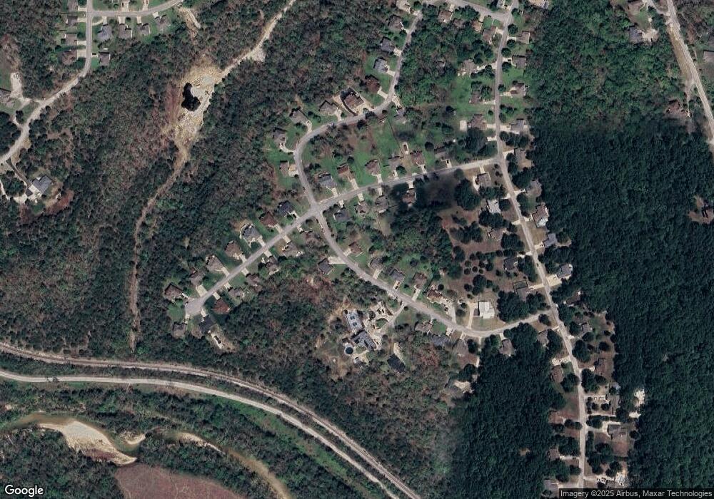
Map
Nearby Homes
- 225 Blossom Valley
- 211 Shadowview Dr
- 160 Shadow Lake Dr
- Lot 142 Country Ridge Way
- Lot 143 Country Ridge Way
- 142/143 Country Ridge Way
- 770 Mills Hollow Rd
- 214 N Rainbow Dr
- 124 David Shawn Dr
- 140 David Shawn Dr
- 200 Barnes Ln
- 203 Forest Park Ln
- 000 State Highway 248
- Tract 1 State Highway 248
- 315 Toni Ln Unit 2
- 146 Deauville
- 1007 Silvercrest Place
- 121 Toni Ln Unit 1-4
- 0 Silvercliff Way
- 844 Silvercliff
- 305 Tall Oaks Dr
- 171 Rosewood Ln
- 161 Rosewood Ln
- 315 Tall Oaks Dr
- 205 Rosewood Ln
- 205 Rosewood Ln
- 205 Rosewood Ln
- 145 Rosewood Ln
- 325 Tall Oaks Dr
- 215 Rosewood Ln
- 160 Rosewood Ln
- 180 Rosewood Ln
- 200 Rosewood Ln
- 170 Rosewood Ln
- 150 Rosewood Ln
- 225 Rosewood Ln
- 210 Rosewood Ln
- 340 Tall Oaks Dr
- 320 Tall Oaks Dr
- 140 Rosewood Ln