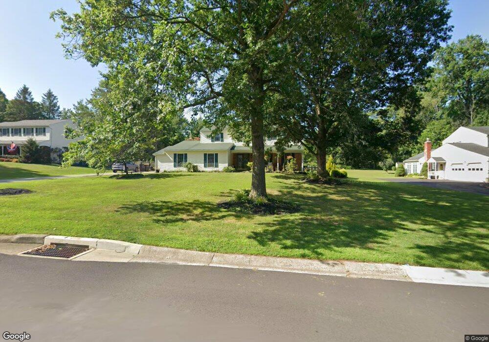
2912 Defford Rd Norristown, PA 19403
Estimated Value: $630,540 - $657,000
4
Beds
3
Baths
2,460
Sq Ft
$260/Sq Ft
Est. Value
About This Home
This home is located at 2912 Defford Rd, Norristown, PA 19403 and is currently estimated at $640,385, approximately $260 per square foot. 2912 Defford Rd is a home located in Montgomery County with nearby schools including Worcester Elementary School, Skyview Upper Elementary School, and Arcola Intermediate School.
Ownership History
Date
Name
Owned For
Owner Type
Purchase Details
Closed on
Feb 13, 2013
Sold by
Gaul Howard and Gaul Tammy
Bought by
Gaul Howard and Bunting Gaul Tammy
Current Estimated Value
Home Financials for this Owner
Home Financials are based on the most recent Mortgage that was taken out on this home.
Original Mortgage
$365,995
Outstanding Balance
$259,835
Interest Rate
3.75%
Mortgage Type
FHA
Estimated Equity
$380,550
Purchase Details
Closed on
Feb 28, 1997
Sold by
Lenihan Stephen and Lenihan Marianne
Bought by
Gaul Howard and Gaul Tammy
Create a Home Valuation Report for This Property
The Home Valuation Report is an in-depth analysis detailing your home's value as well as a comparison with similar homes in the area
Home Values in the Area
Average Home Value in this Area
Purchase History
| Date | Buyer | Sale Price | Title Company |
|---|---|---|---|
| Gaul Howard | -- | Lps Title Services | |
| Gaul Howard | $220,000 | -- |
Source: Public Records
Mortgage History
| Date | Status | Borrower | Loan Amount |
|---|---|---|---|
| Open | Gaul Howard | $365,995 |
Source: Public Records
Tax History Compared to Growth
Tax History
| Year | Tax Paid | Tax Assessment Tax Assessment Total Assessment is a certain percentage of the fair market value that is determined by local assessors to be the total taxable value of land and additions on the property. | Land | Improvement |
|---|---|---|---|---|
| 2025 | $7,937 | $209,570 | $70,760 | $138,810 |
| 2024 | $7,937 | $209,570 | $70,760 | $138,810 |
| 2023 | $7,613 | $209,570 | $70,760 | $138,810 |
| 2022 | $7,466 | $209,570 | $70,760 | $138,810 |
| 2021 | $7,319 | $209,570 | $70,760 | $138,810 |
| 2020 | $7,183 | $209,570 | $70,760 | $138,810 |
| 2019 | $7,113 | $209,570 | $70,760 | $138,810 |
| 2018 | $817 | $209,570 | $70,760 | $138,810 |
| 2017 | $6,840 | $209,570 | $70,760 | $138,810 |
| 2016 | $6,758 | $209,570 | $70,760 | $138,810 |
| 2015 | $6,518 | $209,570 | $70,760 | $138,810 |
| 2014 | $6,518 | $209,570 | $70,760 | $138,810 |
Source: Public Records
Map
Nearby Homes
- 1716 Landis Rd
- 3180 Zacharias Rd
- LOT 28 Heebner Rd
- 1811 Hollow Rd
- 2725 Skippack Pike
- 2648 Hawthorn Dr
- 3235 Heebner Rd
- 2 Capri Ln Unit KINSLEY
- 1534 N Trooper Rd
- 2203 Weber Rd
- 2967 Township Line Rd
- 2624 Hawthorn Dr
- 3053 Sunny Ayre Dr
- 1600 Potshop Rd
- 1939 Penngrove Terrace
- 1921 Whitehall Rd
- 1507 Potshop Rd
- 2806 Morris Rd
- 825 Morris Rd
- 3333 Stump Hall Rd
- 2908 Defford Rd
- 2918 Defford Rd
- 2908 Defford Rd
- 2922 Defford Rd
- 2906 Defford Rd
- 2913 Defford Rd
- 2917 Defford Rd
- 2909 Defford Rd
- 2921 Defford Rd
- 2904 Defford Rd
- 2928 Defford Rd
- 2905 Defford Rd
- 2927 Defford Rd
- 2915 Hickory Hill Rd
- 2909 Hickory Hill Rd
- 2921 Hickory Hill Rd
- 8 Clyston Cir
- 2903 Defford Rd
- 6 Clyston Cir
- 1809 Landis Rd