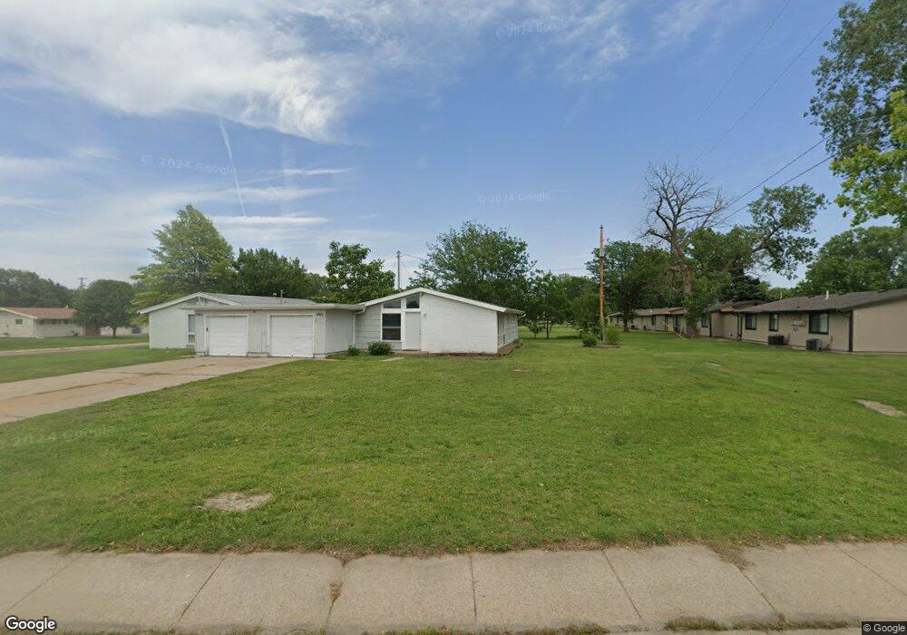
2915 Foxboro Dr Salina, KS 67401
Estimated Value: $92,000 - $126,000
3
Beds
1
Bath
1,144
Sq Ft
$101/Sq Ft
Est. Value
About This Home
This home is located at 2915 Foxboro Dr, Salina, KS 67401 and is currently estimated at $115,597, approximately $101 per square foot. 2915 Foxboro Dr is a home located in Saline County with nearby schools including Schilling Elementary School, Salina South Middle School, and Salina High School South.
Ownership History
Date
Name
Owned For
Owner Type
Purchase Details
Closed on
Dec 8, 2023
Sold by
Blosser Steven W
Bought by
Barry Laura M
Current Estimated Value
Home Financials for this Owner
Home Financials are based on the most recent Mortgage that was taken out on this home.
Original Mortgage
$65,989
Outstanding Balance
$64,953
Interest Rate
7.79%
Mortgage Type
Credit Line Revolving
Estimated Equity
$50,644
Create a Home Valuation Report for This Property
The Home Valuation Report is an in-depth analysis detailing your home's value as well as a comparison with similar homes in the area
Home Values in the Area
Average Home Value in this Area
Purchase History
| Date | Buyer | Sale Price | Title Company |
|---|---|---|---|
| Barry Laura M | -- | Mid Kansas Title |
Source: Public Records
Mortgage History
| Date | Status | Borrower | Loan Amount |
|---|---|---|---|
| Open | Barry Laura M | $65,989 |
Source: Public Records
Tax History Compared to Growth
Tax History
| Year | Tax Paid | Tax Assessment Tax Assessment Total Assessment is a certain percentage of the fair market value that is determined by local assessors to be the total taxable value of land and additions on the property. | Land | Improvement |
|---|---|---|---|---|
| 2025 | $937 | $8,533 | $1,454 | $7,079 |
| 2024 | $937 | $7,866 | $1,132 | $6,734 |
| 2023 | $937 | $9,085 | $1,289 | $7,796 |
| 2022 | $1,154 | $9,177 | $1,289 | $7,888 |
| 2021 | $967 | $7,303 | $1,640 | $5,663 |
| 2020 | $971 | $7,245 | $1,748 | $5,497 |
| 2019 | $897 | $7,797 | $1,748 | $6,049 |
| 2018 | $891 | $6,774 | $1,748 | $5,026 |
| 2017 | $858 | $6,923 | $1,748 | $5,175 |
| 2016 | $858 | $6,187 | $1,748 | $4,439 |
| 2015 | $659 | $5,865 | $1,748 | $4,117 |
| 2013 | -- | $0 | $0 | $0 |
Source: Public Records
Map
Nearby Homes
- 2760 Tim Rogers Ln
- 2749 Amelia Ln
- 2746 Amelia Ln
- 2736 Amelia Ln
- 2734 Amelia Ln
- 2712 Tim Rogers Ln
- 2738 Tim Rogers Ln
- 2729 Tim Rogers Ln
- 2726 Tim Rogers Ln
- 2719 Tim Rogers Ln
- 2720 Tim Rogers
- 1415 Brittany Ave
- 2713 Tim Rogers
- 2714 Tim Rogers Ln
- 1403 Brittany St
- 2708 Tim Rogers
- 2702 Tim Rogers Ln
- 1031 Merrily Cir
- 1317 Kingston Dr