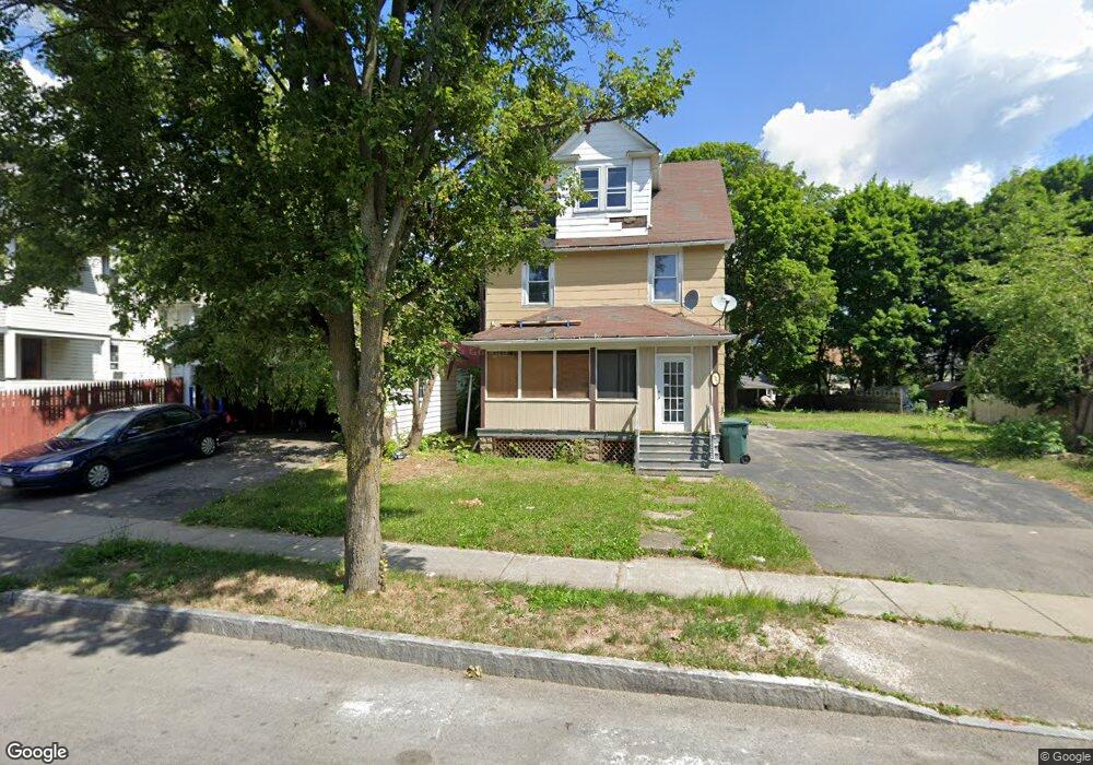
292 Durnan St Rochester, NY 14621
Northeast Rochester NeighborhoodEstimated Value: $73,000
3
Beds
2
Baths
1,440
Sq Ft
$51/Sq Ft
Est. Value
About This Home
This home is located at 292 Durnan St, Rochester, NY 14621 and is currently priced at $73,000, approximately $50 per square foot. 292 Durnan St is a home located in Monroe County with nearby schools including School 39-Andrew J. Townson, School 25 Nathaniel Hawthorne, and Mary McLeod Bethune School No. 45.
Ownership History
Date
Name
Owned For
Owner Type
Purchase Details
Closed on
Nov 26, 2016
Sold by
Smith Soucier Martin
Bought by
292 Durnan St Trust
Current Estimated Value
Purchase Details
Closed on
Dec 11, 2006
Sold by
Makus Joseph G
Bought by
Smith-Soucier Martin D
Home Financials for this Owner
Home Financials are based on the most recent Mortgage that was taken out on this home.
Original Mortgage
$36,000
Interest Rate
6.4%
Mortgage Type
New Conventional
Create a Home Valuation Report for This Property
The Home Valuation Report is an in-depth analysis detailing your home's value as well as a comparison with similar homes in the area
Home Values in the Area
Average Home Value in this Area
Purchase History
| Date | Buyer | Sale Price | Title Company |
|---|---|---|---|
| 292 Durnan St Trust | -- | None Available | |
| Smith-Soucier Martin D | $40,000 | -- |
Source: Public Records
Mortgage History
| Date | Status | Borrower | Loan Amount |
|---|---|---|---|
| Previous Owner | Smith-Soucier Martin D | $36,000 |
Source: Public Records
Tax History Compared to Growth
Tax History
| Year | Tax Paid | Tax Assessment Tax Assessment Total Assessment is a certain percentage of the fair market value that is determined by local assessors to be the total taxable value of land and additions on the property. | Land | Improvement |
|---|---|---|---|---|
| 2020 | $561 | $45,200 | $6,900 | $38,300 |
| 2019 | $561 | $43,300 | $6,900 | $36,400 |
| 2018 | $2,290 | $43,300 | $6,900 | $36,400 |
| 2017 | $2,290 | $43,300 | $6,900 | $36,400 |
| 2016 | $2,290 | $43,300 | $6,900 | $36,400 |
| 2015 | -- | $43,300 | $6,900 | $36,400 |
| 2014 | -- | $43,300 | $6,900 | $36,400 |
Source: Public Records
Map
Nearby Homes
- 319 Carter St
- 318-320 Durnan St
- 187-189 Delamaine Dr
- 120 Barberry Terrace
- 199 Roycroft Dr
- 152 Delamaine Dr
- 146 Delamaine Dr
- 165 Durnan St
- 83 Holbrooke St
- 1303 North St
- 164 Herald St
- 50 Manchester St
- 1191 North St
- 92 Roycroft Dr
- 125-127 Carter St Unit 125
- 212 Saint Stanislaus St
- 77 Roycroft Dr
- 96 Sobieski St
- 88 Rosemary Dr
- 212 Lux St
- 296 Durnan St
- 332 Carter St
- 302 Durnan St
- 326 Carter St
- 338 Carter St
- 318 Carter St Unit 320
- 340 Carter St
- 308 Durnan St
- 342 Carter St Unit 344
- 187 Barberry Terrace
- 310 Durnan St
- 308 Carter St
- 291 Durnan St
- 356 Carter St
- 175 Barberry Terrace
- 295 Durnan St
- 318 Durnan St Unit 320
- 301 Durnan St
- 171 Barberry Terrace
- 171 Barberry Terrace Unit 14621