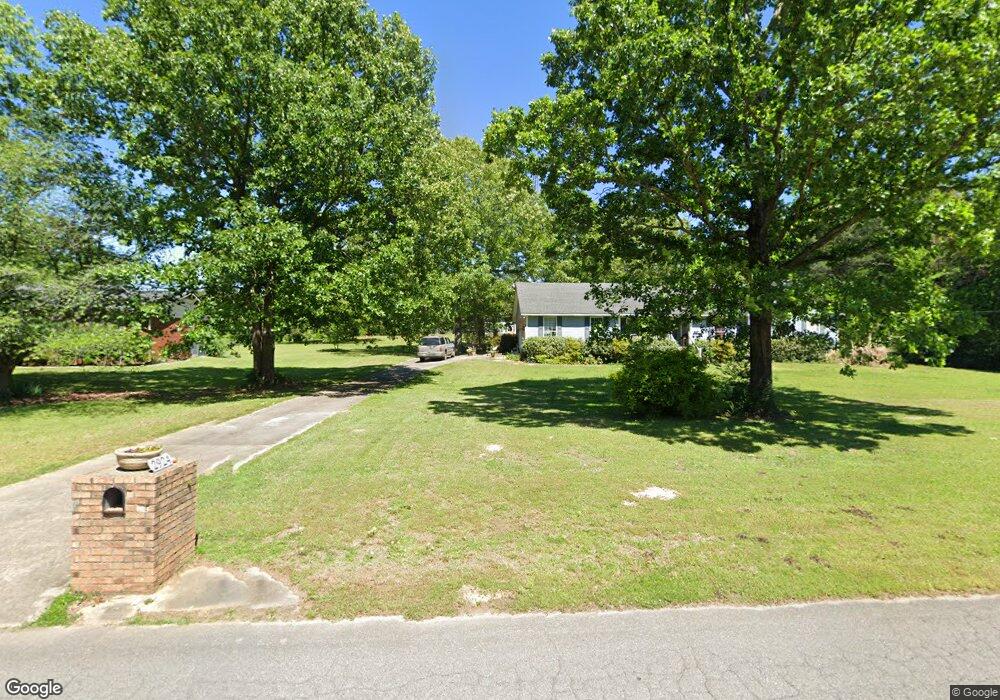
2924 Westwind Dr Bessemer, AL 35023
Estimated Value: $275,000 - $386,000
4
Beds
3
Baths
1,677
Sq Ft
$188/Sq Ft
Est. Value
About This Home
This home is located at 2924 Westwind Dr, Bessemer, AL 35023 and is currently estimated at $315,843, approximately $188 per square foot. 2924 Westwind Dr is a home located in Jefferson County with nearby schools including Hueytown Elementary School, Hueytown Primary School, and Hueytown Middle School.
Ownership History
Date
Name
Owned For
Owner Type
Purchase Details
Closed on
Dec 14, 2011
Sold by
Anderson Jonathan Z
Bought by
Ezekiel David and Ezekiel Angela
Current Estimated Value
Purchase Details
Closed on
Oct 9, 1998
Sold by
Lucas Daniel C
Bought by
Stewart James Westley
Home Financials for this Owner
Home Financials are based on the most recent Mortgage that was taken out on this home.
Original Mortgage
$128,250
Interest Rate
6.95%
Purchase Details
Closed on
Mar 7, 1997
Sold by
Lucas Frances C
Bought by
Lucas Daniel C
Create a Home Valuation Report for This Property
The Home Valuation Report is an in-depth analysis detailing your home's value as well as a comparison with similar homes in the area
Home Values in the Area
Average Home Value in this Area
Purchase History
| Date | Buyer | Sale Price | Title Company |
|---|---|---|---|
| Ezekiel David | $184,900 | -- | |
| Stewart James Westley | $135,000 | -- | |
| Lucas Daniel C | -- | -- |
Source: Public Records
Mortgage History
| Date | Status | Borrower | Loan Amount |
|---|---|---|---|
| Previous Owner | Stewart James Westley | $128,250 |
Source: Public Records
Tax History Compared to Growth
Tax History
| Year | Tax Paid | Tax Assessment Tax Assessment Total Assessment is a certain percentage of the fair market value that is determined by local assessors to be the total taxable value of land and additions on the property. | Land | Improvement |
|---|---|---|---|---|
| 2024 | $1,350 | $25,680 | -- | -- |
| 2022 | $1,278 | $22,130 | $3,950 | $18,180 |
| 2021 | $1,107 | $19,300 | $3,950 | $15,350 |
| 2020 | $1,030 | $17,940 | $3,950 | $13,990 |
| 2019 | $1,025 | $17,940 | $0 | $0 |
| 2018 | $1,040 | $18,180 | $0 | $0 |
| 2017 | $1,067 | $18,640 | $0 | $0 |
| 2016 | $1,014 | $17,760 | $0 | $0 |
| 2015 | $1,067 | $18,640 | $0 | $0 |
| 2014 | $1,059 | $17,800 | $0 | $0 |
| 2013 | $1,059 | $17,560 | $0 | $0 |
Source: Public Records
Map
Nearby Homes
- 6700 White Oak Ln Unit 1
- 3542 Virginia Dr
- 3481 Virginia Dr
- 3469 Virginia Dr
- 6643 White Oak Ln
- 6668 Post Oak Dr
- 2089 Edenwood Cir
- 3515 Lone Oak Ln
- 3018 Lone Oak Rd
- 2101 Windcroft Rd
- 3273 Fieldale Dr
- 3232 Virginia Dr
- 3229 Edenburg Dr
- 6291 Donaldson Dr Unit 124
- 105 Hielary Cir
- 198 Space Rd
- 3016 Virginia Dr
- 135 Cape Rd
- 140 Dee Hendrix Rd
- 800 Dee Hendrix Rd
- 2920 Westwind Dr
- 2921 Westwind Dr
- 3652 Virginia Dr
- 2916 Westwind Dr
- 2927 Westwind Dr
- 2915 Westwind Dr
- 2912 Westwind Dr
- 3700 Virginia Dr
- 3630 Virginia Dr
- 3620 Virginia Dr
- 2908 Westwind Dr
- 2909 Westwind Dr
- 2904 Westwind Dr
- 3669 Virginia Dr
- 3621 Virginia Dr
- 2905 Westwind Dr
- 3712 Virginia Dr
- 3558 Virginia Dr
- 6766 Post Oak Dr
- 3720 Virginia Dr