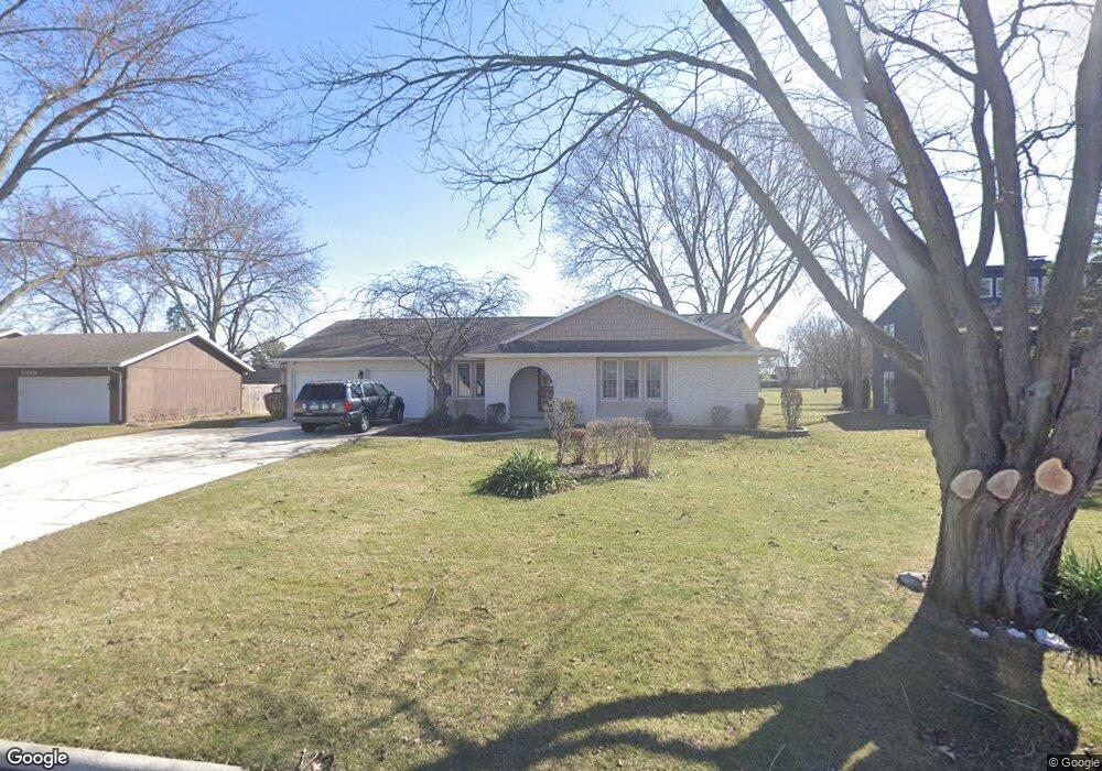
2929 Gleneagle Dr Findlay, OH 45840
Estimated Value: $299,262 - $381,000
3
Beds
3
Baths
2,332
Sq Ft
$147/Sq Ft
Est. Value
About This Home
This home is located at 2929 Gleneagle Dr, Findlay, OH 45840 and is currently estimated at $341,816, approximately $146 per square foot. 2929 Gleneagle Dr is a home located in Hancock County with nearby schools including Liberty-Benton Elementary School, Liberty-Benton Middle School, and Liberty-Benton High School.
Ownership History
Date
Name
Owned For
Owner Type
Purchase Details
Closed on
Jul 16, 1986
Bought by
Armand Marc P and Armand Theresa E
Current Estimated Value
Purchase Details
Closed on
Apr 1, 1985
Bought by
Agrawal Chiranji L
Purchase Details
Closed on
Dec 31, 1984
Bought by
Equitable Relocation
Create a Home Valuation Report for This Property
The Home Valuation Report is an in-depth analysis detailing your home's value as well as a comparison with similar homes in the area
Home Values in the Area
Average Home Value in this Area
Purchase History
| Date | Buyer | Sale Price | Title Company |
|---|---|---|---|
| Armand Marc P | $86,000 | -- | |
| Agrawal Chiranji L | $82,500 | -- | |
| Equitable Relocation | -- | -- |
Source: Public Records
Tax History Compared to Growth
Tax History
| Year | Tax Paid | Tax Assessment Tax Assessment Total Assessment is a certain percentage of the fair market value that is determined by local assessors to be the total taxable value of land and additions on the property. | Land | Improvement |
|---|---|---|---|---|
| 2024 | $2,855 | $76,800 | $10,710 | $66,090 |
| 2023 | $2,787 | $76,800 | $10,710 | $66,090 |
| 2022 | $2,760 | $76,800 | $10,710 | $66,090 |
| 2021 | $2,448 | $60,130 | $10,710 | $49,420 |
| 2020 | $2,469 | $60,130 | $10,710 | $49,420 |
| 2019 | $2,369 | $60,130 | $10,710 | $49,420 |
| 2018 | $1,866 | $52,280 | $9,310 | $42,970 |
| 2017 | $1,925 | $52,280 | $9,310 | $42,970 |
| 2016 | $1,874 | $52,280 | $9,310 | $42,970 |
| 2015 | $2,056 | $56,150 | $9,310 | $46,840 |
| 2014 | $2,075 | $56,150 | $9,310 | $46,840 |
| 2012 | $2,168 | $56,150 | $9,310 | $46,840 |
Source: Public Records
Map
Nearby Homes
- 3018 Gleneagle Dr
- 3106 Saddlebrook
- 1405 Cypress Lake
- 1310 Muirfield Dr
- 933 Laurel Ln
- 6535 Silver Lake Dr
- 925 W Melrose Ave
- 3300 Crosshill Dr
- 615 Hillcrest Ave
- 905 W Melrose Ave
- 0 County Road 95 Unit 6097574
- 506 Hillcrest Ave
- 643 Edith Ave
- 0 Township Highway 99
- 12325 Township Highway 99
- 0 Bushwillow Dr Or Rock Candy Rd Unit Lot 157
- 0 Allen Township 142
- 0 Rock Candy Rd Or Bushwillow Dr Unit Lot 173
- 0 Bearcat Way Or Rock Candy Rd Unit Lot 167
- 0 Rock Candy Rd Unit Lot 159
- 2933 Gleneagle Dr
- 2923 Gleneagle Dr
- 3001 Gleneagle Dr
- 2917 Gleneagle Dr
- 2928 Gleneagle Dr
- 2932 Gleneagle Dr
- 2920 Gleneagle Dr
- 3000 Gleneagle Dr
- 3007 Gleneagle Dr
- 2911 Gleneagle Dr
- 2910 Gleneagle Dr
- 3009 Saddlebrook
- 3015 Saddlebrook
- 3013 Gleneagle Dr
- 2907 Gleneagle Dr
- 3001 Saddlebrook
- 3021 Saddlebrook
- 2906 Gleneagle Dr
- 2939 Saddlebrook
- 1124 Inverness Dr