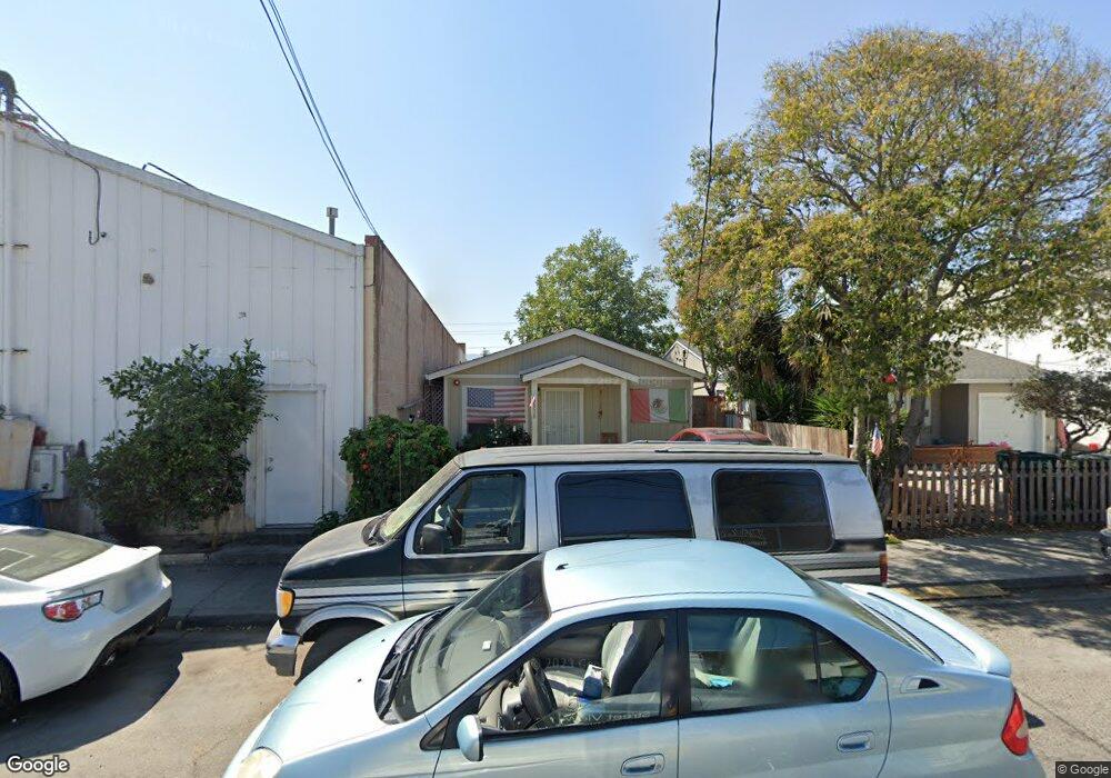
2930 Crocker Ave Redwood City, CA 94063
North Fair Oaks NeighborhoodEstimated Value: $996,000 - $1,148,376
2
Beds
1
Bath
790
Sq Ft
$1,346/Sq Ft
Est. Value
About This Home
This home is located at 2930 Crocker Ave, Redwood City, CA 94063 and is currently estimated at $1,063,459, approximately $1,346 per square foot. 2930 Crocker Ave is a home located in San Mateo County with nearby schools including Taft Elementary School, John F. Kennedy Middle School, and Sequoia High School.
Ownership History
Date
Name
Owned For
Owner Type
Purchase Details
Closed on
Dec 14, 2012
Sold by
Zmay Steve C and Zmay Kathy
Bought by
Z Enterprises Lp
Current Estimated Value
Purchase Details
Closed on
Dec 12, 2012
Sold by
Zmay Steven
Bought by
Zmay Steve C and Zmay Kathy
Purchase Details
Closed on
Sep 9, 2012
Sold by
Wilson Donald A
Bought by
Zmay Steven
Purchase Details
Closed on
Oct 4, 1995
Sold by
Hahn Kenneth P
Bought by
Beneficial California Inc
Create a Home Valuation Report for This Property
The Home Valuation Report is an in-depth analysis detailing your home's value as well as a comparison with similar homes in the area
Home Values in the Area
Average Home Value in this Area
Purchase History
| Date | Buyer | Sale Price | Title Company |
|---|---|---|---|
| Z Enterprises Lp | -- | None Available | |
| Zmay Steve C | -- | None Available | |
| Zmay Steven | $190,000 | None Available | |
| Beneficial California Inc | $66,408 | Chicago Title Insurance Co |
Source: Public Records
Tax History Compared to Growth
Tax History
| Year | Tax Paid | Tax Assessment Tax Assessment Total Assessment is a certain percentage of the fair market value that is determined by local assessors to be the total taxable value of land and additions on the property. | Land | Improvement |
|---|---|---|---|---|
| 2025 | $4,957 | $299,888 | $266,037 | $33,851 |
| 2023 | $4,957 | $288,248 | $255,709 | $32,539 |
| 2022 | $4,611 | $282,598 | $250,696 | $31,902 |
| 2021 | $4,552 | $277,058 | $245,781 | $31,277 |
| 2020 | $4,481 | $274,219 | $243,262 | $30,957 |
| 2019 | $4,408 | $268,845 | $238,494 | $30,351 |
| 2018 | $4,225 | $263,576 | $233,819 | $29,757 |
| 2017 | $4,005 | $258,410 | $229,235 | $29,175 |
| 2016 | $3,859 | $253,345 | $224,741 | $28,604 |
| 2015 | $3,714 | $249,541 | $221,366 | $28,175 |
| 2014 | $3,632 | $244,654 | $217,030 | $27,624 |
Source: Public Records
Map
Nearby Homes
- 307 Pacific Ave
- 301 Pacific Ave
- 208 3rd Ave
- 657 2nd Ave
- 603 Warrington Ave
- 3071 Glendale Ave
- 313 6th Ave
- 301 6th Ave
- 197 Nottingham Ave
- 554 Scott Ave
- 2727 Blenheim Ave
- 616 Douglas Ave
- 771 4th Ave
- 649 Eighth Ave
- 454 9th Ave
- 536 Flynn Ave
- 746 6th Ave
- 2798 Middlefield Rd
- 325 E Oakwood Blvd
- 65 Fairfax Ave
- 2926 Crocker Ave
- 2929 Middlefield Rd
- 407 1st Ave
- 2951 Middlefield Rd
- 2927 Crocker Ave
- 2931 Crocker Ave
- 2939 Crocker Ave
- 2915 Crocker Ave
- 2911 Crocker Ave
- 408 1st Ave
- 420 1st Ave
- 428 1st Ave
- 2928 Middlefield Rd
- 430 1st Ave
- 442 1st Ave
- 3009 Middlefield Rd
- 450 Dumbarton Ave
- 450 1st Ave
- 445 2nd Ave
- 456 Dumbarton Ave