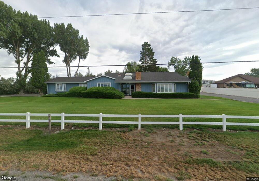
2935 Locust Rd Montrose, CO 81401
Estimated Value: $523,000 - $606,000
3
Beds
3
Baths
2,540
Sq Ft
$221/Sq Ft
Est. Value
About This Home
This home is located at 2935 Locust Rd, Montrose, CO 81401 and is currently estimated at $560,835, approximately $220 per square foot. 2935 Locust Rd is a home located in Montrose County with nearby schools including Johnson Elementary School, Centennial Middle School, and Montrose High School.
Ownership History
Date
Name
Owned For
Owner Type
Purchase Details
Closed on
Feb 22, 2022
Sold by
B & W Joint Venture
Bought by
R & G Butte Rock Ranch Llc
Current Estimated Value
Purchase Details
Closed on
Aug 24, 1998
Sold by
Bullington Sandra M
Bought by
Bullington Sandra M and Bullington Robert J
Purchase Details
Closed on
Apr 8, 1985
Sold by
Scott Stephen T and Scott Ann E
Bought by
Bullington Sandra M
Purchase Details
Closed on
Oct 5, 1976
Sold by
Davis Bobbie Glenn and Davis Linda Gail
Bought by
Scott Stephen T and Scott Ann E
Create a Home Valuation Report for This Property
The Home Valuation Report is an in-depth analysis detailing your home's value as well as a comparison with similar homes in the area
Home Values in the Area
Average Home Value in this Area
Purchase History
| Date | Buyer | Sale Price | Title Company |
|---|---|---|---|
| R & G Butte Rock Ranch Llc | $230,000 | None Listed On Document | |
| Bullington Sandra M | -- | -- | |
| Bullington Sandra M | $130,100 | -- | |
| Scott Stephen T | $38,000 | -- |
Source: Public Records
Tax History Compared to Growth
Tax History
| Year | Tax Paid | Tax Assessment Tax Assessment Total Assessment is a certain percentage of the fair market value that is determined by local assessors to be the total taxable value of land and additions on the property. | Land | Improvement |
|---|---|---|---|---|
| 2024 | $1,919 | $33,320 | $4,240 | $29,080 |
| 2023 | $1,919 | $38,380 | $4,880 | $33,500 |
| 2022 | $1,431 | $27,450 | $2,870 | $24,580 |
| 2021 | $1,474 | $28,240 | $2,950 | $25,290 |
| 2020 | $1,170 | $24,360 | $2,570 | $21,790 |
| 2019 | $1,178 | $24,360 | $2,570 | $21,790 |
| 2018 | $1,052 | $22,190 | $2,150 | $20,040 |
| 2017 | $1,044 | $22,190 | $2,150 | $20,040 |
| 2016 | $831 | $20,080 | $2,070 | $18,010 |
| 2015 | $1,352 | $20,080 | $2,070 | $18,010 |
| 2014 | $1,153 | $18,310 | $2,070 | $16,240 |
Source: Public Records
Map
Nearby Homes
- 2965 Locust Rd
- 13721 6700 Rd
- 13547 6700 Rd
- 67250 Locust Rd Unit 21
- TBD Highway 50 Iron Horse Dr
- 67133 Locust Rd
- 13.33 Acres Highway 50
- 761 Silver Dr
- 2091 Locust Rd
- 502 Holly Dr
- 12858 6700 Rd
- 133 Castle Ave
- 381 6600 Rd
- Lot 3 6700 Rd
- Lot 7 6700 Rd
- Lot 2 6700 Rd
- Lot 8 6700 Rd
- Lot 5 6700 Rd
- Lot 4 6700 Rd
- Lot 1 6700 Rd
- Lot 1 Lynch Minor
- Lot 2 Lynch Minor Rd
- 13631 6700 Rd
- 13640 6700 Rd
- Lot 1 Locust Rd
- 13587 6700 Rd
- 2822 Locust Rd
- 2797 Locust Rd
- 13601 6700 Rd
- TBD 6650 Rd
- 13579 6700 Rd
- 2775 Locust Rd
- 2771 Locust Rd
- 2759 Locust Rd
- TBD Lot 2 Locust Rd
- 2749 Locust Rd
- 2719 Locust Rd
- 13945 6700 Rd
- 2685 Locust Rd
- lot 3 Lynch Minor