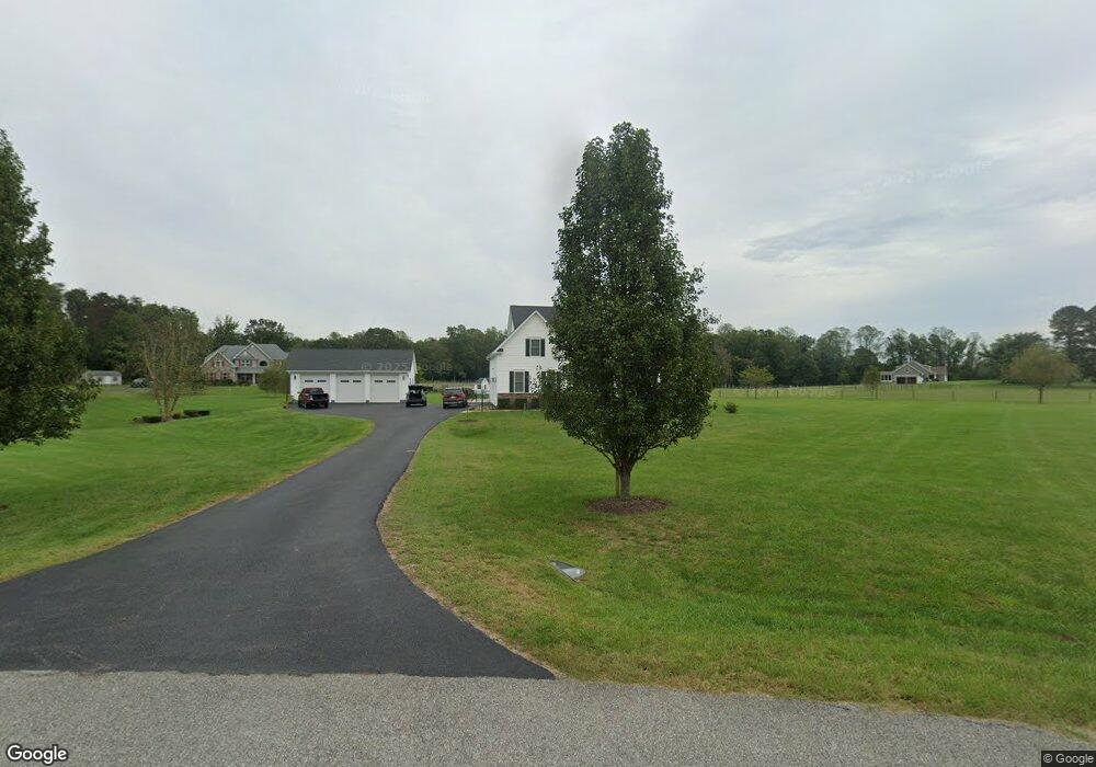
29360 Queens Landing Ln Mechanicsville, MD 20659
Estimated Value: $584,000 - $784,359
--
Bed
3
Baths
3,007
Sq Ft
$234/Sq Ft
Est. Value
About This Home
This home is located at 29360 Queens Landing Ln, Mechanicsville, MD 20659 and is currently estimated at $704,840, approximately $234 per square foot. 29360 Queens Landing Ln is a home located in St. Mary's County with nearby schools including Lettie Marshall Dent Elementary School, Margaret Brent Middle School, and Chopticon High School.
Ownership History
Date
Name
Owned For
Owner Type
Purchase Details
Closed on
Aug 12, 2016
Sold by
Kimberly J Cutchins Llc
Bought by
Saunders Wiliam F and Thomas Crystal Blake
Current Estimated Value
Home Financials for this Owner
Home Financials are based on the most recent Mortgage that was taken out on this home.
Original Mortgage
$125,000
Outstanding Balance
$57,050
Interest Rate
3.42%
Mortgage Type
New Conventional
Estimated Equity
$647,790
Create a Home Valuation Report for This Property
The Home Valuation Report is an in-depth analysis detailing your home's value as well as a comparison with similar homes in the area
Home Values in the Area
Average Home Value in this Area
Purchase History
| Date | Buyer | Sale Price | Title Company |
|---|---|---|---|
| Saunders Wiliam F | $506,550 | Attorney |
Source: Public Records
Mortgage History
| Date | Status | Borrower | Loan Amount |
|---|---|---|---|
| Open | Saunders Wiliam F | $125,000 |
Source: Public Records
Tax History Compared to Growth
Tax History
| Year | Tax Paid | Tax Assessment Tax Assessment Total Assessment is a certain percentage of the fair market value that is determined by local assessors to be the total taxable value of land and additions on the property. | Land | Improvement |
|---|---|---|---|---|
| 2025 | $6,358 | $687,000 | $0 | $0 |
| 2024 | $6,164 | $656,400 | $123,300 | $533,100 |
| 2023 | $5,916 | $622,367 | $0 | $0 |
| 2022 | $5,729 | $588,333 | $0 | $0 |
| 2021 | $5,546 | $554,300 | $123,300 | $431,000 |
| 2020 | $5,372 | $524,633 | $0 | $0 |
| 2019 | $5,202 | $494,967 | $0 | $0 |
| 2018 | $5,008 | $465,300 | $118,300 | $347,000 |
| 2017 | $4,989 | $465,300 | $0 | $0 |
| 2016 | -- | $93,300 | $0 | $0 |
Source: Public Records
Map
Nearby Homes
- 29850 Eldorado Farm Dr
- 29805 Three Notch Rd
- 28560 Plateau Ln
- 28475 Lockes Hill Rd
- 0 Carol Ln
- 38405 Ben Oaks Dr
- 15115 Oaks Rd
- The Lancaster Plan at Underwood
- The Oxford Plan at Underwood
- The Somerset Plan at Underwood
- The Ashland Plan at Underwood
- The Winchester Plan at Underwood
- The Brentwood Plan at Underwood
- The Glenwood Plan at Underwood
- The Hampton Plan at Underwood
- The Willow Plan at Underwood
- The Westminster Plan at Underwood
- The Fairfax Plan at Underwood
- 29844 Cheryl Ct
- 0 Serenity Ln
- 29360 Queens Landing Ln
- 37955 New Market Turner Rd
- 29370 Queens Landing Ln
- 29365 Queens Landing Ln
- 29365 Queens Landing Ln
- 29255 Kuhn Ln
- 29375 Queens Landing Ln
- 29375 Queens Landing Ln
- 37906 New Market Turner Rd
- 29243 Kuhn Ln
- 29192 Delightful Springs Ln
- 37985 New Market Turner Rd
- 29345 Atlas Ln
- 37925 New Market Turner Rd
- 29385 Atlas Ln
- 38020 New Market Turner Rd
- 29360 Atlas Ln
- 29350 Atlas Ln
- 37865 New Market Turner Rd
- 37889 New Market Turner Rd