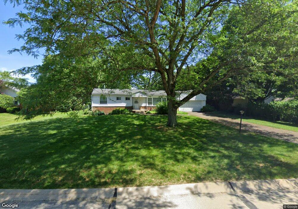
2939 Morewood Rd Fairlawn, OH 44333
Estimated Value: $253,000 - $303,000
3
Beds
2
Baths
1,713
Sq Ft
$164/Sq Ft
Est. Value
About This Home
This home is located at 2939 Morewood Rd, Fairlawn, OH 44333 and is currently estimated at $280,204, approximately $163 per square foot. 2939 Morewood Rd is a home located in Summit County with nearby schools including Copley-Fairlawn Middle School, Copley High School, and Fairlawn Lutheran School.
Ownership History
Date
Name
Owned For
Owner Type
Purchase Details
Closed on
Jun 23, 2006
Sold by
Levy Paul E and Chinn Levy Sylvia R
Bought by
Galang Monica L
Current Estimated Value
Home Financials for this Owner
Home Financials are based on the most recent Mortgage that was taken out on this home.
Original Mortgage
$159,000
Outstanding Balance
$105,287
Interest Rate
8.95%
Mortgage Type
Purchase Money Mortgage
Estimated Equity
$174,917
Create a Home Valuation Report for This Property
The Home Valuation Report is an in-depth analysis detailing your home's value as well as a comparison with similar homes in the area
Home Values in the Area
Average Home Value in this Area
Purchase History
| Date | Buyer | Sale Price | Title Company |
|---|---|---|---|
| Galang Monica L | $159,000 | Multiple |
Source: Public Records
Mortgage History
| Date | Status | Borrower | Loan Amount |
|---|---|---|---|
| Open | Galang Monica L | $159,000 |
Source: Public Records
Tax History Compared to Growth
Tax History
| Year | Tax Paid | Tax Assessment Tax Assessment Total Assessment is a certain percentage of the fair market value that is determined by local assessors to be the total taxable value of land and additions on the property. | Land | Improvement |
|---|---|---|---|---|
| 2025 | $3,373 | $85,061 | $18,221 | $66,840 |
| 2024 | $3,373 | $85,061 | $18,221 | $66,840 |
| 2023 | $3,373 | $85,061 | $18,221 | $66,840 |
| 2022 | $3,072 | $64,047 | $13,703 | $50,344 |
| 2021 | $2,886 | $64,047 | $13,703 | $50,344 |
| 2020 | $2,821 | $64,040 | $13,700 | $50,340 |
| 2019 | $2,760 | $56,080 | $13,020 | $43,060 |
| 2018 | $2,705 | $56,080 | $13,020 | $43,060 |
| 2017 | $2,466 | $56,080 | $13,020 | $43,060 |
| 2016 | $2,465 | $47,840 | $13,020 | $34,820 |
| 2015 | $2,466 | $47,840 | $13,020 | $34,820 |
| 2014 | $2,456 | $47,840 | $13,020 | $34,820 |
| 2013 | $2,450 | $47,840 | $13,020 | $34,820 |
Source: Public Records
Map
Nearby Homes
- 288 Kenridge Rd
- 3143 Morewood Rd
- 342 S Miller Rd
- 3317 Morewood Rd
- V/L White Tail Ridge Dr
- 3354 Bancroft Rd
- 595 Moorfield Rd
- 360 Marviel Dr
- 2520 Holgate Rd
- 3404 S Smith Rd
- 3475 Bancroft Rd
- 3451 Stanley Rd
- 1012 Bunker Dr Unit 304
- 177 Caladonia Ave
- 462 Gresham Dr
- 482 Gresham Dr
- 2385 Covington Rd Unit 402
- 3340 Willow Ln
- 2375 Covington Rd Unit 311
- 804 Miramar Ln
- 224 Winchester Rd
- 2951 Morewood Rd
- 210 Winchester Rd
- 2965 Morewood Rd
- 200 Winchester Rd
- 221 Winchester Rd Unit 223
- 2940 Morewood Rd
- 223 Winchester Rd
- 2950 Morewood Rd
- 2934 Morewood Rd
- 244 Winchester Rd
- 2960 Morewood Rd
- 231 Benson Rd
- 190 Winchester Rd
- 221 Benson Rd
- 2970 Morewood Rd
- 2903 Morewood Rd Unit 2905
- 245 Winchester Rd Unit 247
- 2899 Morewood Rd Unit 2901
- 258 Winchester Rd