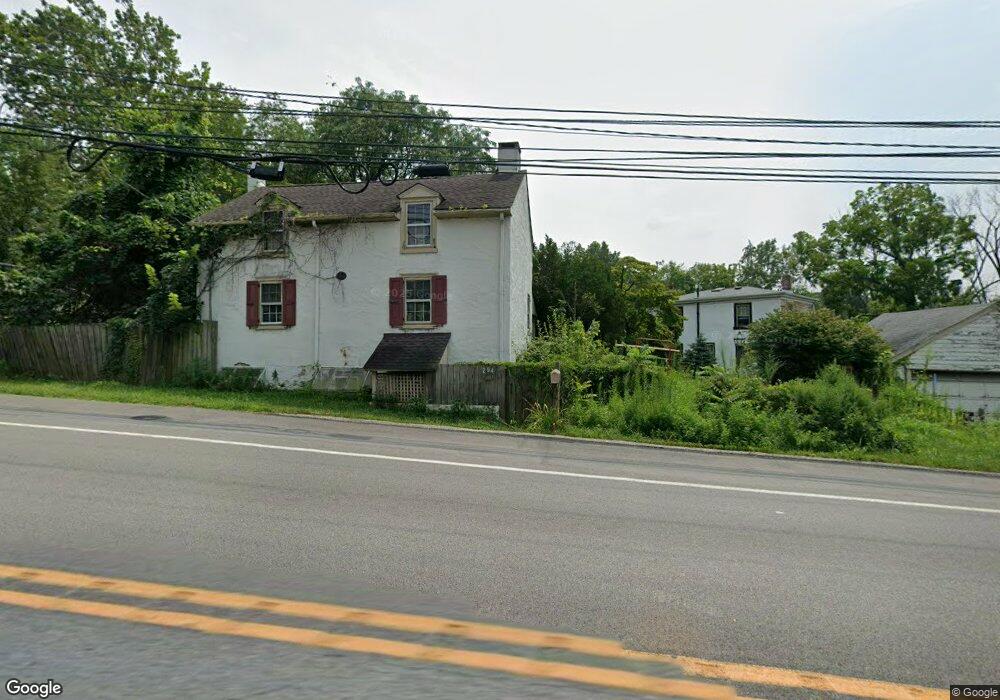
294 Egypt Rd Norristown, PA 19403
West Norriton Township NeighborhoodEstimated Value: $341,000 - $380,000
2
Beds
1
Bath
1,008
Sq Ft
$358/Sq Ft
Est. Value
About This Home
This home is located at 294 Egypt Rd, Norristown, PA 19403 and is currently estimated at $360,442, approximately $357 per square foot. 294 Egypt Rd is a home located in Montgomery County with nearby schools including Charles Blockson Middle School, Paul V Fly Elementary School, and East Norriton Middle School.
Ownership History
Date
Name
Owned For
Owner Type
Purchase Details
Closed on
May 31, 2006
Sold by
Hanna M Patricia and Wilk Patricia H
Bought by
Rost Edward L
Current Estimated Value
Home Financials for this Owner
Home Financials are based on the most recent Mortgage that was taken out on this home.
Original Mortgage
$160,000
Outstanding Balance
$94,330
Interest Rate
6.62%
Estimated Equity
$266,112
Create a Home Valuation Report for This Property
The Home Valuation Report is an in-depth analysis detailing your home's value as well as a comparison with similar homes in the area
Home Values in the Area
Average Home Value in this Area
Purchase History
| Date | Buyer | Sale Price | Title Company |
|---|---|---|---|
| Rost Edward L | $225,000 | Landamerica |
Source: Public Records
Mortgage History
| Date | Status | Borrower | Loan Amount |
|---|---|---|---|
| Open | Rost Edward L | $160,000 |
Source: Public Records
Tax History Compared to Growth
Tax History
| Year | Tax Paid | Tax Assessment Tax Assessment Total Assessment is a certain percentage of the fair market value that is determined by local assessors to be the total taxable value of land and additions on the property. | Land | Improvement |
|---|---|---|---|---|
| 2025 | $5,695 | $116,570 | $61,180 | $55,390 |
| 2024 | $5,695 | $116,570 | $61,180 | $55,390 |
| 2023 | $5,631 | $116,570 | $61,180 | $55,390 |
| 2022 | $5,594 | $116,570 | $61,180 | $55,390 |
| 2021 | $5,561 | $116,570 | $61,180 | $55,390 |
| 2020 | $5,394 | $116,570 | $61,180 | $55,390 |
| 2019 | $5,274 | $116,570 | $61,180 | $55,390 |
| 2018 | $4,057 | $116,570 | $61,180 | $55,390 |
| 2017 | $4,979 | $116,570 | $61,180 | $55,390 |
| 2016 | $4,934 | $116,570 | $61,180 | $55,390 |
| 2015 | $4,570 | $116,570 | $61,180 | $55,390 |
| 2014 | $4,570 | $116,570 | $61,180 | $55,390 |
Source: Public Records
Map
Nearby Homes
- 2044 Mill Rd
- 0 Roosevelt Blvd
- 2017 Yorktown S
- 526 Bassett Ln
- 2012 Yorktown S
- 365 Norris Hall Ln
- 1914 Yorktown S
- 123 Glenwood Ave
- 1905 Yorktown N
- 1503 Reagan Ct
- 2504 Grant Ct
- 1924 Juniata Rd
- 37 Burnside Ave
- 143 Riversedge Dr Unit CONDO 143
- 307 Brandon Rd
- 167 Woodstream Dr Unit CONDO 167
- 176 Riversedge Dr
- 402 Brandon Rd
- 533 Brandon Rd
- 121 Woodstream Dr Unit CONDO 121