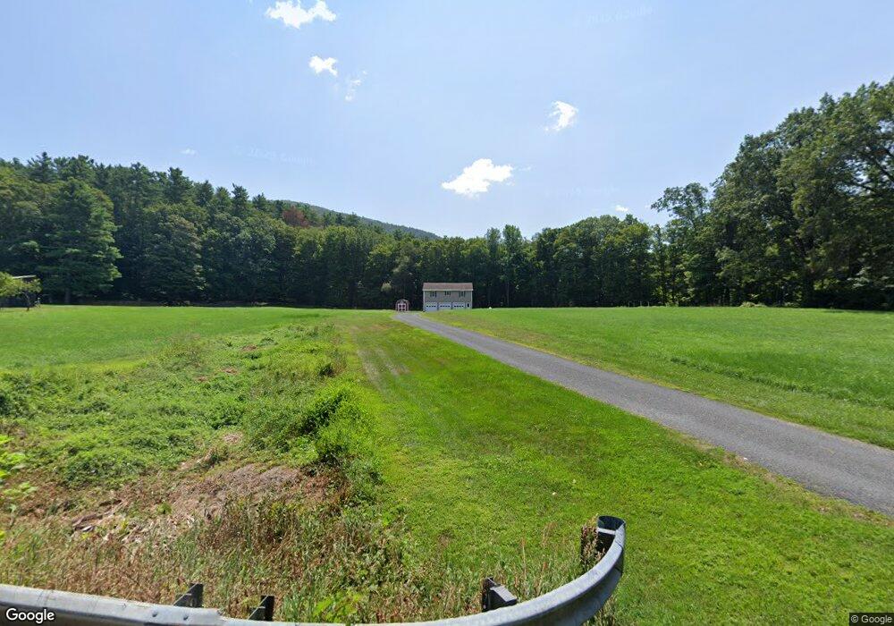
294 Montague Rd Sunderland, MA 01375
Estimated Value: $432,000 - $510,000
2
Beds
1
Bath
1,200
Sq Ft
$386/Sq Ft
Est. Value
About This Home
This home is located at 294 Montague Rd, Sunderland, MA 01375 and is currently estimated at $463,149, approximately $385 per square foot. 294 Montague Rd is a home with nearby schools including Sunderland Elementary School and Frontier Regional School.
Ownership History
Date
Name
Owned For
Owner Type
Purchase Details
Closed on
Jul 20, 2010
Sold by
Rose Betty A
Bought by
Antes Brenda J and Rose Kenneth G
Current Estimated Value
Purchase Details
Closed on
Apr 21, 1999
Sold by
Boysen K Christian and Olf Kimiko
Bought by
Quinlan Thomas F
Purchase Details
Closed on
Sep 30, 1994
Sold by
Tozloski Barre E and Tozloski Elizabeth
Bought by
Whiney Warren H and Whitney Linda
Create a Home Valuation Report for This Property
The Home Valuation Report is an in-depth analysis detailing your home's value as well as a comparison with similar homes in the area
Home Values in the Area
Average Home Value in this Area
Purchase History
| Date | Buyer | Sale Price | Title Company |
|---|---|---|---|
| Antes Brenda J | -- | -- | |
| Quinlan Thomas F | $101,000 | -- | |
| Whiney Warren H | $36,400 | -- |
Source: Public Records
Tax History Compared to Growth
Tax History
| Year | Tax Paid | Tax Assessment Tax Assessment Total Assessment is a certain percentage of the fair market value that is determined by local assessors to be the total taxable value of land and additions on the property. | Land | Improvement |
|---|---|---|---|---|
| 2025 | $47 | $363,800 | $128,700 | $235,100 |
| 2024 | $4,780 | $363,800 | $128,700 | $235,100 |
| 2023 | $4,381 | $342,300 | $117,400 | $224,900 |
| 2022 | $4,451 | $302,800 | $101,000 | $201,800 |
| 2021 | $4,487 | $289,700 | $92,500 | $197,200 |
| 2020 | $4,461 | $288,900 | $92,500 | $196,400 |
| 2019 | $4,320 | $281,800 | $89,900 | $191,900 |
| 2018 | $3,936 | $262,400 | $85,100 | $177,300 |
| 2017 | $3,865 | $269,500 | $86,700 | $182,800 |
| 2016 | $3,793 | $258,700 | $84,600 | $174,100 |
| 2015 | $3,702 | $258,700 | $84,600 | $174,100 |
| 2014 | $3,617 | $258,700 | $84,600 | $174,100 |
Source: Public Records
Map
Nearby Homes
- 134 Montague Rd
- 2 Gunn Rd
- 0 Pocumtuck Dr Unit 73379330
- 35 A N Leverett Rd
- 39 N Leverett Rd
- 238 N Main St
- 495 Federal St Unit B
- 7 Stage Rd
- 64 Main St
- 477 River Rd
- 132 Meadow Rd
- 259 Long Plain Rd
- 13 Capt Lathrop Dr
- 110 Old Amherst Rd
- 10 Hannabrooke Dr
- 146 Old Amherst Rd
- 40 Eastern Ave
- 15 Crestview Dr
- Lot C Mountain Rd
- Lot A Mountain Rd
- 300 Montague Rd
- 290 Montague Rd
- 307 Montague Rd
- 310 Montague Rd
- 297 Montague Rd
- 268 Montague Rd
- 314 Montague Rd
- 317 Montague Rd
- 322 Montague Rd
- 259 Montague Rd
- 327 Montague Rd
- 330 Montague Rd
- 331 Montague Rd
- 341 Montague Rd
- 340 Montague Rd
- 247 Montague Rd
- 241 Montague Rd
- 351 Montague Rd
- 352 Montague Rd
- 357 Montague Rd