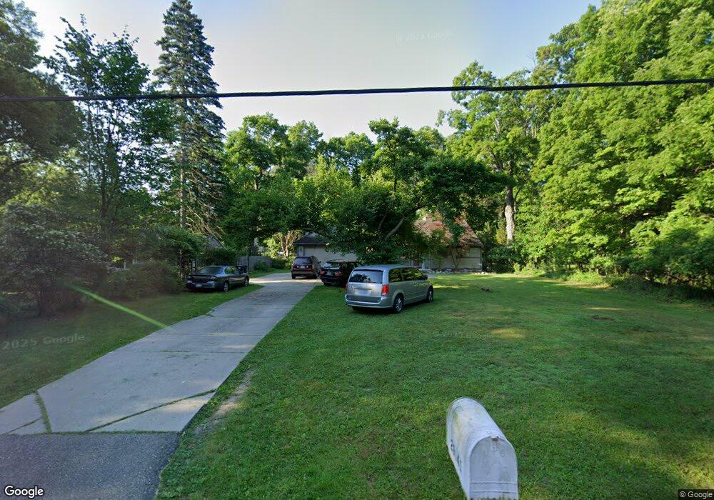
29641 Munger Dr Livonia, MI 48154
Estimated Value: $436,000 - $562,000
5
Beds
3
Baths
3,236
Sq Ft
$154/Sq Ft
Est. Value
About This Home
This home is located at 29641 Munger Dr, Livonia, MI 48154 and is currently estimated at $498,969, approximately $154 per square foot. 29641 Munger Dr is a home located in Wayne County with nearby schools including Riley Upper Elementary School, Buchanan Elementary School, and Holmes Middle School.
Ownership History
Date
Name
Owned For
Owner Type
Purchase Details
Closed on
Dec 20, 2017
Sold by
Siroky Peter and Mckenzie Michele
Bought by
Siroky Peter and Peter Siroky Trust
Current Estimated Value
Purchase Details
Closed on
May 30, 1996
Sold by
Christopher D and Christopher Diane E
Bought by
Karen N Olasz
Purchase Details
Closed on
Oct 7, 1994
Sold by
Olasz Karen N
Bought by
Wolfe Christopher D and Wolfe Diane E
Create a Home Valuation Report for This Property
The Home Valuation Report is an in-depth analysis detailing your home's value as well as a comparison with similar homes in the area
Home Values in the Area
Average Home Value in this Area
Purchase History
| Date | Buyer | Sale Price | Title Company |
|---|---|---|---|
| Siroky Peter | -- | None Available | |
| Karen N Olasz | $103,000 | -- | |
| Wolfe Christopher D | $103,000 | -- |
Source: Public Records
Mortgage History
| Date | Status | Borrower | Loan Amount |
|---|---|---|---|
| Closed | Wolfe Christopher D | $0 |
Source: Public Records
Tax History Compared to Growth
Tax History
| Year | Tax Paid | Tax Assessment Tax Assessment Total Assessment is a certain percentage of the fair market value that is determined by local assessors to be the total taxable value of land and additions on the property. | Land | Improvement |
|---|---|---|---|---|
| 2025 | $2,994 | $262,500 | $0 | $0 |
| 2024 | $2,994 | $240,700 | $0 | $0 |
| 2023 | $2,857 | $225,000 | $0 | $0 |
| 2022 | $6,411 | $203,900 | $0 | $0 |
| 2021 | $6,042 | $194,100 | $0 | $0 |
| 2019 | $4,674 | $184,300 | $0 | $0 |
| 2018 | $2,415 | $164,100 | $0 | $0 |
| 2017 | $4,275 | $161,400 | $0 | $0 |
| 2016 | $4,472 | $156,300 | $0 | $0 |
| 2015 | $10,826 | $142,530 | $0 | $0 |
| 2012 | -- | $104,890 | $34,200 | $70,690 |
Source: Public Records
Map
Nearby Homes
- 29945 6 Mile Rd
- 30115 Munger Dr
- 30425 Munger Dr
- 29836 Bobrich St
- 15608 Hidden Ln
- 29106 Broadmoor St
- 31069 Munger Dr
- 29721 Pickford St
- 28692 Bayberry Park Dr
- 31366 Mayville St
- 18061 Lathers St
- 29760 Hoy St
- 18001 Floral St
- 29560 Clarita St Unit 11
- 31005 Roycroft St
- 18071 Floral St
- 15345 Bainbridge St
- 18659 Flamingo Blvd
- 18725 Flamingo Blvd
- 18496 Brentwood St
- 29635 Munger St
- 29625 Munger Dr
- 29634 Munger Dr
- 29640 Munger Dr
- 29573 Munger Dr
- 29861 Munger Dr
- 29861 Munger Dr
- 29905 Munger St
- 29900 Munger Dr
- 29931 Munger Dr
- 29930 Munger Dr
- 0 Munger Dr Unit 3253616
- 0 Munger Dr Unit 3258900
- 29551 Munger Dr
- 29950 Munger St
- 29860 Munger St
- 29628 Munger St
- 29960 Munger St
- 29572 Munger St
- 29529 Munger Dr