297 Orchard Dr Bloomsburg, PA 17815
Estimated Value: $127,210 - $165,000
--
Bed
--
Bath
--
Sq Ft
13.63
Acres
About This Home
This home is located at 297 Orchard Dr, Bloomsburg, PA 17815 and is currently estimated at $146,105. 297 Orchard Dr is a home located in Columbia County with nearby schools including W.W. Evans Memorial Elementary School, Bloomsburg Area Middle School, and Bloomsburg Area High School.
Ownership History
Date
Name
Owned For
Owner Type
Purchase Details
Closed on
Feb 27, 2018
Sold by
Howell Christopher R and Howell Tina L
Bought by
Miller Tatum M and Miller Laura A
Current Estimated Value
Purchase Details
Closed on
Dec 20, 2013
Sold by
Howell Christopher R and Howell Tina L
Bought by
Yodock Leo Joseph and Yodock Kathleen Ann
Home Financials for this Owner
Home Financials are based on the most recent Mortgage that was taken out on this home.
Original Mortgage
$330,000
Interest Rate
3.25%
Mortgage Type
Adjustable Rate Mortgage/ARM
Create a Home Valuation Report for This Property
The Home Valuation Report is an in-depth analysis detailing your home's value as well as a comparison with similar homes in the area
Home Values in the Area
Average Home Value in this Area
Purchase History
| Date | Buyer | Sale Price | Title Company |
|---|---|---|---|
| Miller Tatum M | $77,000 | None Available | |
| Yodock Leo Joseph | $330,000 | None Available |
Source: Public Records
Mortgage History
| Date | Status | Borrower | Loan Amount |
|---|---|---|---|
| Previous Owner | Yodock Leo Joseph | $330,000 | |
| Closed | Miller Tatum M | $0 |
Source: Public Records
Tax History Compared to Growth
Tax History
| Year | Tax Paid | Tax Assessment Tax Assessment Total Assessment is a certain percentage of the fair market value that is determined by local assessors to be the total taxable value of land and additions on the property. | Land | Improvement |
|---|---|---|---|---|
| 2025 | $1,313 | $15,805 | $0 | $0 |
| 2024 | $1,289 | $15,805 | $15,805 | $0 |
| 2023 | $1,171 | $15,805 | $15,805 | $0 |
| 2022 | $252 | $15,805 | $15,805 | $0 |
| 2021 | $244 | $15,805 | $15,805 | $0 |
| 2020 | $241 | $15,805 | $15,805 | $0 |
| 2019 | $236 | $15,805 | $15,805 | $0 |
| 2018 | $901 | $21,412 | $21,412 | $0 |
| 2017 | $1,351 | $59,122 | $59,122 | $0 |
| 2016 | -- | $59,122 | $59,122 | $0 |
| 2015 | -- | $59,612 | $59,612 | $0 |
| 2014 | -- | $68,681 | $68,681 | $0 |
Source: Public Records
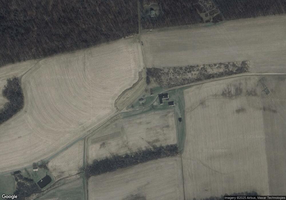
Map
Nearby Homes
- 126 Orchard Dr
- 275 Gotschal Rd
- 79 Susies Ln
- 14 Fairfield Ln
- 214 Gotschal Rd
- 324 Quarry Dr
- 1108 Charlene Dr
- LOT 33 Preserve Ln
- 0 Preserve Ln
- LOT 32 Preserve Ln
- 100 Cherokee Rd
- 49 Preserve Ln
- 32 Horizon Dr
- 99 Pony Trail Dr
- 941 Jerseytown Rd
- 25 Rhoades Hill Rd
- LOT 4 Kaseville Rd
- 82 Terre Ln
- 494 Buckhorn Rd
- 12 Leer Ln