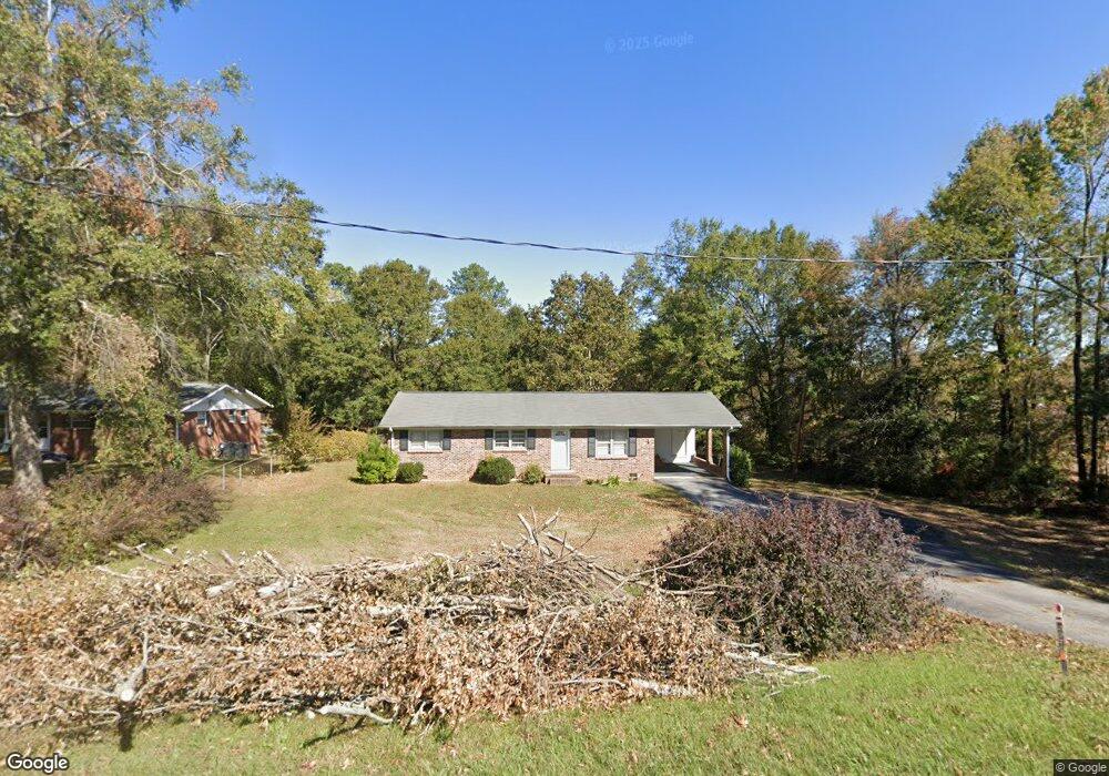
2970 Stone Station Rd Roebuck, SC 29376
Estimated Value: $155,831 - $215,000
2
Beds
2
Baths
1,278
Sq Ft
$149/Sq Ft
Est. Value
About This Home
This home is located at 2970 Stone Station Rd, Roebuck, SC 29376 and is currently estimated at $190,708, approximately $149 per square foot. 2970 Stone Station Rd is a home located in Spartanburg County with nearby schools including Dorman High School Freshman Campus and Dorman High School.
Ownership History
Date
Name
Owned For
Owner Type
Purchase Details
Closed on
Mar 23, 2012
Sold by
Coffey Ruby Nell and Coffey Terry Lester
Bought by
Coffey Ruby Nell and Coffey Terry Lester
Current Estimated Value
Purchase Details
Closed on
Feb 16, 2012
Sold by
Coffey Ruby Nell and Turner Deborah Ann Coffey
Bought by
Coffey Ruby Nell and Coffey Terry Lester
Purchase Details
Closed on
Aug 23, 2002
Sold by
Coffey Ruby Nell
Bought by
Turner Deborah Ann Coffey and Coffey Daniel Paul
Create a Home Valuation Report for This Property
The Home Valuation Report is an in-depth analysis detailing your home's value as well as a comparison with similar homes in the area
Home Values in the Area
Average Home Value in this Area
Purchase History
| Date | Buyer | Sale Price | Title Company |
|---|---|---|---|
| Coffey Ruby Nell | -- | -- | |
| Coffey Ruby Nell | -- | -- | |
| Turner Deborah Ann Coffey | -- | -- |
Source: Public Records
Tax History Compared to Growth
Tax History
| Year | Tax Paid | Tax Assessment Tax Assessment Total Assessment is a certain percentage of the fair market value that is determined by local assessors to be the total taxable value of land and additions on the property. | Land | Improvement |
|---|---|---|---|---|
| 2025 | $2,140 | $5,618 | $909 | $4,709 |
| 2024 | $2,140 | $5,618 | $909 | $4,709 |
| 2023 | $2,140 | $5,618 | $909 | $4,709 |
| 2022 | $300 | $3,257 | $589 | $2,668 |
| 2021 | $297 | $3,257 | $589 | $2,668 |
| 2020 | $286 | $3,257 | $589 | $2,668 |
| 2019 | $279 | $3,257 | $589 | $2,668 |
| 2018 | $280 | $3,257 | $589 | $2,668 |
| 2017 | $202 | $2,832 | $600 | $2,232 |
| 2016 | $205 | $2,832 | $600 | $2,232 |
| 2015 | $198 | $2,800 | $593 | $2,207 |
| 2014 | $189 | $2,832 | $600 | $2,232 |
Source: Public Records
Map
Nearby Homes
- 583 Chattooga Rd
- 707 Tallulah Ct
- 511 Chattooga Rd
- 387 Congaree Rd
- 408 Congaree Rd
- 365 Guernsey Ln
- 0 Independence Ct
- 129 John Lancaster Rd
- 635 Mcabee Rd
- 221 Brookfield Rd
- 375 N Timm Creek Ave
- 212 Reedy River Ct
- 120 State Road S-42-9962
- 811 S Edisto River Dr
- 215 Reedy River Ct
- 00 Bulman Rd
- 0000 U S 221 Hwy N
- 100 Caroline Dr
- 0 Stone Station Rd
- 379 Lawtonwood Ln
- 2939 Stone Station Rd
- 2919 Stone Station Rd
- 150 Oak Ave
- 2899 Stone Station Rd
- 180 Oak Ave
- 2889 Stone Station Rd
- 149 Oak Ave
- 119 Oak Ave
- 169 Oak Ave
- 179 Oak Ave
- 941 Mcabee Rd
- 961 Mcabee Rd
- 914 Mcabee Rd
- 2869 Stone Station Rd
- 931 Mcabee Rd
- 971 Mcabee Rd
- 904 Mcabee Rd
- 104 Guernsey Ln
- 981 Mcabee Rd
- 2860 Stone Station Rd