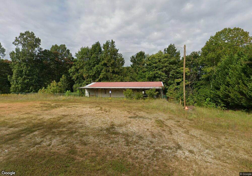
298 Athey Simmons Rd Mount Airy, NC 27030
Estimated Value: $67,328
--
Bed
--
Bath
1,920
Sq Ft
$35/Sq Ft
Est. Value
About This Home
This home is located at 298 Athey Simmons Rd, Mount Airy, NC 27030 and is currently estimated at $67,328, approximately $35 per square foot. 298 Athey Simmons Rd is a home located in Surry County with nearby schools including Westfield Elementary School, Pilot Mountain Middle School, and East Surry High School.
Ownership History
Date
Name
Owned For
Owner Type
Purchase Details
Closed on
Jul 26, 2017
Sold by
Howell Ricky Dean
Bought by
Whitfield David L and Whitfield Melissa M
Current Estimated Value
Purchase Details
Closed on
Aug 17, 2016
Sold by
Womack Lawrence and Linkous Fred
Bought by
Howell Ricky Dean
Purchase Details
Closed on
Oct 28, 2015
Sold by
Deprisco Stevie Morehouse
Bought by
Womack Lawrence and Linkous Fred
Home Financials for this Owner
Home Financials are based on the most recent Mortgage that was taken out on this home.
Original Mortgage
$29,000
Interest Rate
3.93%
Mortgage Type
Seller Take Back
Create a Home Valuation Report for This Property
The Home Valuation Report is an in-depth analysis detailing your home's value as well as a comparison with similar homes in the area
Home Values in the Area
Average Home Value in this Area
Purchase History
| Date | Buyer | Sale Price | Title Company |
|---|---|---|---|
| Whitfield David L | $37,000 | None Available | |
| Howell Ricky Dean | $1,000 | None Available | |
| Womack Lawrence | $30,000 | Attorney |
Source: Public Records
Mortgage History
| Date | Status | Borrower | Loan Amount |
|---|---|---|---|
| Previous Owner | Womack Lawrence | $29,000 |
Source: Public Records
Tax History Compared to Growth
Tax History
| Year | Tax Paid | Tax Assessment Tax Assessment Total Assessment is a certain percentage of the fair market value that is determined by local assessors to be the total taxable value of land and additions on the property. | Land | Improvement |
|---|---|---|---|---|
| 2025 | $264 | $45,060 | $19,550 | $25,510 |
| 2024 | $251 | $38,560 | $18,050 | $20,510 |
| 2023 | $246 | $38,560 | $18,050 | $20,510 |
| 2022 | $246 | $38,560 | $18,050 | $20,510 |
| 2021 | $251 | $38,560 | $18,050 | $20,510 |
| 2020 | $244 | $36,140 | $18,050 | $18,090 |
| 2019 | $244 | $36,140 | $0 | $0 |
| 2018 | $234 | $36,140 | $0 | $0 |
| 2017 | $225 | $35,160 | $0 | $0 |
| 2016 | $225 | $35,160 | $0 | $0 |
| 2013 | -- | $106,830 | $0 | $0 |
Source: Public Records
Map
Nearby Homes
- 00 Blue Hollow Rd Unit 5
- 583 Snody Rd
- 733 Slate Mountain Rd
- 107 Cory Trail
- 0 Blue Hollow Rd Unit 33 1176021
- 0 Blue Hollow Rd Unit 23105199
- 000 Blue Hollow Rd Unit 27
- 0 Norman Rd
- 140 Daniels Dell Ln
- 7.8ac Norman Rd
- 731 Indian Grove Church Rd
- Lot 4,5,6 Sideview Ln
- 0 NE Pine St
- 200 Englewood Trail
- 759 Cameron Ln
- 1970 Mcbride Rd
- 00 Paynetown Rd
- Lot 5 Howell Rd
- xx 44.93 Acres Stardust Trail
- 335 Badgett Ave
- 311 Athey Simmons Rd
- 325 Athey Simmons Rd
- 337 Athey Simmons Rd
- 256 Athey Simmons Rd
- 366 Athey Simmons Rd
- 237 Athey Simmons Rd
- 219 Athey Simmons Rd
- 133 Durant Ln
- 205 Athey Simmons Rd
- 189 Athey Simmons Rd
- 124 Durant Ln
- 166 Athey Simmons Rd
- 196 Athey Simmons
- 0 Athey Simmons Rd
- 640 Athey Simmons Rd
- 467 Athey Simmons Rd
- 114 Athey Simmons Rd
- 4405 Westfield Rd
- TBD Westfield Rd
- 4333 Westfield Rd