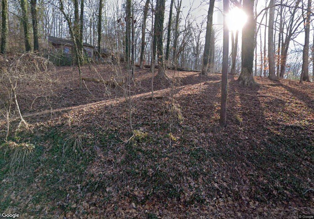
2995 Lakeside Dr Lenoir City, TN 37772
Estimated Value: $138,000 - $783,000
--
Bed
--
Bath
--
Sq Ft
1.12
Acres
About This Home
This home is located at 2995 Lakeside Dr, Lenoir City, TN 37772 and is currently estimated at $357,104. 2995 Lakeside Dr is a home located in Loudon County with nearby schools including Loudon High School.
Ownership History
Date
Name
Owned For
Owner Type
Purchase Details
Closed on
Aug 29, 2025
Sold by
Lane Candace M and Lane Walter Richard
Bought by
Mathis James J
Current Estimated Value
Purchase Details
Closed on
Jun 13, 2014
Sold by
Benchmark Ventures Llc
Bought by
Lane Candace M
Home Financials for this Owner
Home Financials are based on the most recent Mortgage that was taken out on this home.
Original Mortgage
$286,090
Interest Rate
4.23%
Mortgage Type
New Conventional
Create a Home Valuation Report for This Property
The Home Valuation Report is an in-depth analysis detailing your home's value as well as a comparison with similar homes in the area
Home Values in the Area
Average Home Value in this Area
Purchase History
| Date | Buyer | Sale Price | Title Company |
|---|---|---|---|
| Mathis James J | $139,000 | Southeast Title & Escrow | |
| Lane Candace M | $250,000 | -- |
Source: Public Records
Mortgage History
| Date | Status | Borrower | Loan Amount |
|---|---|---|---|
| Previous Owner | Lane Candace M | $286,090 |
Source: Public Records
Tax History Compared to Growth
Tax History
| Year | Tax Paid | Tax Assessment Tax Assessment Total Assessment is a certain percentage of the fair market value that is determined by local assessors to be the total taxable value of land and additions on the property. | Land | Improvement |
|---|---|---|---|---|
| 2025 | $727 | $47,875 | $47,875 | -- |
| 2023 | $727 | $47,875 | $0 | $0 |
| 2022 | $727 | $47,875 | $47,875 | $0 |
| 2021 | $727 | $47,875 | $47,875 | $0 |
| 2020 | $863 | $47,875 | $47,875 | $0 |
| 2019 | $863 | $47,875 | $47,875 | $0 |
| 2018 | $863 | $47,875 | $47,875 | $0 |
| 2017 | $863 | $47,875 | $47,875 | $0 |
| 2016 | $841 | $45,225 | $45,225 | $0 |
| 2015 | $841 | $45,225 | $45,225 | $0 |
| 2014 | $841 | $45,225 | $45,225 | $0 |
Source: Public Records
Map
Nearby Homes
- 980 Phelps Rd
- 0 Phelps Rd Unit 1291843
- 788 Blackberry Ridge Rd
- 5980 Lakeside Dr
- 0 Lakeview Rd
- 170 E Port Dr
- 1636 Stone Harbor Blvd
- 900 Harbour View Dr
- 142 Sesame St
- 126 Sesame St
- The Ash Plan at Farmstead
- The Rosemary Plan at Farmstead
- The Bradford Plan at Farmstead
- The Cedar Plan at Farmstead
- The Balsam Plan at Farmstead
- The Willow Plan at Farmstead
- The Birch Plan at Farmstead
- The Acacia Plan at Farmstead
- The Magnolia Plan at Farmstead
- The Spruce Plan at Farmstead
- 3209 Lakeside Dr
- 2877 Lakeside Dr
- 3271 Lakeside Dr
- 1031 Phelps Rd
- 2605 Lakeside Dr
- 013R Blackberry Ridge Dr
- 13 Blackberry Ridge Rd
- 18 Blackberry Ridge Rd
- Lot 54,55 Blackberry Ridge Dr
- 3535 Lakeside Dr
- 3534 Lakeside Dr
- 0 Phelps Rd Unit 1292090
- 0 Phelps Rd
- 921 Phelps Rd
- 2175 Lakeside Dr
- 842 Phelps Rd
- 104 Blackberry Ridge Rd
- 857 Phelps Rd
- 107 Blackberry Ridge Dr
- 798 Phelps Rd
