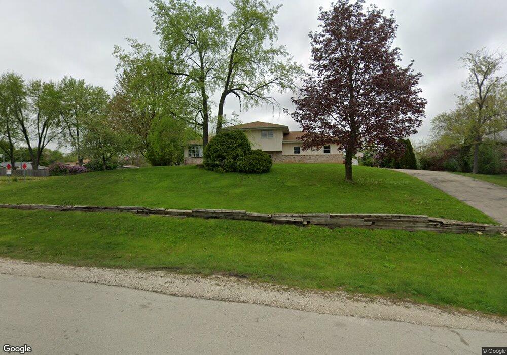
29W236 Barnes Ave West Chicago, IL 60185
Chicago West NeighborhoodEstimated Value: $343,000 - $384,000
3
Beds
3
Baths
1,172
Sq Ft
$310/Sq Ft
Est. Value
About This Home
This home is located at 29W236 Barnes Ave, West Chicago, IL 60185 and is currently estimated at $363,780, approximately $310 per square foot. 29W236 Barnes Ave is a home located in DuPage County with nearby schools including Indian Knoll Elementary School, Leman Middle School, and West Chicago Community High School.
Ownership History
Date
Name
Owned For
Owner Type
Purchase Details
Closed on
May 12, 2011
Sold by
The Bank Of New York Mellon
Bought by
Gang Hanbing
Current Estimated Value
Purchase Details
Closed on
Aug 10, 2010
Sold by
Gomez Ruth
Bought by
The Bank Of New York Mellon and The Bank Of New York
Purchase Details
Closed on
Feb 28, 2007
Sold by
Zagal Mario
Bought by
Gomez Ruth
Home Financials for this Owner
Home Financials are based on the most recent Mortgage that was taken out on this home.
Original Mortgage
$232,000
Interest Rate
8.7%
Mortgage Type
Stand Alone First
Purchase Details
Closed on
Feb 27, 1998
Sold by
Mullins Ronald D and Mullins Jill A
Bought by
Zagal Mario
Home Financials for this Owner
Home Financials are based on the most recent Mortgage that was taken out on this home.
Original Mortgage
$151,841
Interest Rate
7.15%
Mortgage Type
FHA
Create a Home Valuation Report for This Property
The Home Valuation Report is an in-depth analysis detailing your home's value as well as a comparison with similar homes in the area
Home Values in the Area
Average Home Value in this Area
Purchase History
| Date | Buyer | Sale Price | Title Company |
|---|---|---|---|
| Gang Hanbing | $90,000 | Ctic | |
| The Bank Of New York Mellon | $118,937 | None Available | |
| Gomez Ruth | $290,000 | Commercial Land Title Ins Co | |
| Zagal Mario | $156,500 | -- |
Source: Public Records
Mortgage History
| Date | Status | Borrower | Loan Amount |
|---|---|---|---|
| Previous Owner | Gomez Ruth | $232,000 | |
| Previous Owner | Zagal Mario | $151,841 |
Source: Public Records
Tax History Compared to Growth
Tax History
| Year | Tax Paid | Tax Assessment Tax Assessment Total Assessment is a certain percentage of the fair market value that is determined by local assessors to be the total taxable value of land and additions on the property. | Land | Improvement |
|---|---|---|---|---|
| 2024 | $7,168 | $93,122 | $44,935 | $48,187 |
| 2023 | $6,769 | $85,050 | $41,040 | $44,010 |
| 2022 | $6,581 | $79,490 | $38,360 | $41,130 |
| 2021 | $6,344 | $76,200 | $36,770 | $39,430 |
| 2020 | $6,220 | $73,880 | $35,650 | $38,230 |
| 2019 | $6,042 | $70,360 | $33,950 | $36,410 |
| 2018 | $5,912 | $67,660 | $32,650 | $35,010 |
| 2017 | $5,758 | $64,290 | $31,020 | $33,270 |
| 2016 | $5,593 | $59,940 | $28,920 | $31,020 |
| 2015 | $5,459 | $55,480 | $26,770 | $28,710 |
| 2014 | $5,521 | $55,700 | $26,770 | $28,930 |
| 2013 | $5,599 | $57,740 | $27,750 | $29,990 |
Source: Public Records
Map
Nearby Homes
- 0N230 Easton Ave
- 29W034 Lester St
- N268 Calvin Ave
- 821 Bishop St
- 28W659 Lester St
- 213 Glen St
- 1350 Sarana Ave
- 264 Augusta Ave
- 550 Main St Unit 215
- 143 Conde St
- 34 S Lake Dr
- 129 W Blair St
- 228 Chicago St
- Lot 1 Wycliffe Dr
- S639 Prince Crossing Rd
- 200 Fulton St
- 209 E Washington St
- 247 N Neltnor Blvd Unit H1C
- 235 Ingalton Ave
- 130 Sophia St
- 0N024 McDonald Ave
- 29W220 Barnes Ave
- 0N060 McDonald Ave
- 29W231 Lester St
- 26w Barnes Ave
- 29W255 Lester St
- 29W221 Lester St
- 29W235 Barnes Ave
- 29W221 Barnes Ave
- 0N046 McDonald Ave
- 29W202 Barnes Ave
- 29W211 Barnes Ave
- 29W201 Lester St
- 0N026 McDonald Ave
- 29W281 Lester St
- 29W254 Lester St
- n 061 Easton Ave
- 29W177 Barnes Ave
- 0N071 Easton Ave
- 0N061 Easton Ave