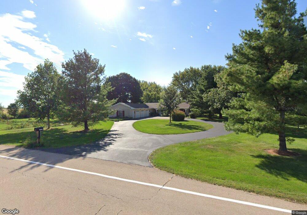
2S850 Dauberman Rd Elburn, IL 60119
Estimated Value: $485,000 - $525,000
4
Beds
3
Baths
2,700
Sq Ft
$187/Sq Ft
Est. Value
About This Home
This home is located at 2S850 Dauberman Rd, Elburn, IL 60119 and is currently estimated at $505,540, approximately $187 per square foot. 2S850 Dauberman Rd is a home located in Kane County with nearby schools including Kaneland Blackberry Creek Elementary School, Harter Middle School, and Kaneland Senior High School.
Ownership History
Date
Name
Owned For
Owner Type
Purchase Details
Closed on
Nov 24, 2010
Sold by
Weiland Amy M and Snyder Brian A
Bought by
Martin William and Meister Scott
Current Estimated Value
Home Financials for this Owner
Home Financials are based on the most recent Mortgage that was taken out on this home.
Original Mortgage
$239,200
Outstanding Balance
$157,499
Interest Rate
4.23%
Mortgage Type
New Conventional
Estimated Equity
$348,041
Purchase Details
Closed on
Feb 15, 2006
Sold by
Snyder Harold E and Snyder Barbara M
Bought by
Snyder Harold E
Create a Home Valuation Report for This Property
The Home Valuation Report is an in-depth analysis detailing your home's value as well as a comparison with similar homes in the area
Home Values in the Area
Average Home Value in this Area
Purchase History
| Date | Buyer | Sale Price | Title Company |
|---|---|---|---|
| Martin William | $299,000 | Chicago Title Insurance Co | |
| Snyder Harold E | -- | None Available |
Source: Public Records
Mortgage History
| Date | Status | Borrower | Loan Amount |
|---|---|---|---|
| Open | Martin William | $239,200 |
Source: Public Records
Tax History Compared to Growth
Tax History
| Year | Tax Paid | Tax Assessment Tax Assessment Total Assessment is a certain percentage of the fair market value that is determined by local assessors to be the total taxable value of land and additions on the property. | Land | Improvement |
|---|---|---|---|---|
| 2024 | $9,679 | $128,685 | $37,041 | $91,644 |
| 2023 | $9,616 | $119,885 | $34,508 | $85,377 |
| 2022 | $9,173 | $109,925 | $31,641 | $78,284 |
| 2021 | $8,891 | $105,343 | $30,322 | $75,021 |
| 2020 | $8,663 | $101,712 | $29,277 | $72,435 |
| 2019 | $8,482 | $97,650 | $28,108 | $69,542 |
| 2018 | $7,926 | $89,007 | $25,620 | $63,387 |
| 2017 | $7,375 | $81,426 | $23,438 | $57,988 |
| 2016 | $6,870 | $74,172 | $21,350 | $52,822 |
| 2015 | -- | $69,255 | $19,935 | $49,320 |
| 2014 | -- | $69,255 | $19,935 | $49,320 |
| 2013 | -- | $74,677 | $21,496 | $53,181 |
Source: Public Records
Map
Nearby Homes
- 2S234 Harter Rd
- 2S114 Harter Rd
- 000 Finley Rd
- 0N119 Dauberman Rd
- 44W099 Finley Rd
- 43W714 Willow Creek Ct Unit 4
- 43W690 Marian Cir
- Lot 84 Houtz Cir
- Lot 37 Houtz Cir
- 165 Schneider Rd
- LOT 7 Rowe Rd
- 44W700 Rowe Rd
- Lot 9 Rowe Rd
- 00 Rt 38 Rd
- 48W201 Keslinger Rd
- 43W556 Kenmar Ct
- Lot #7 Derek Dr
- 204 S Lincoln Ave
- 16 Derek Dr
- 12 Derek Dr
- 2S919 Dauberman Rd
- 3S015 Dauberman Rd
- 2S540 Dauberman Rd
- 2S483 Dauberman Rd Unit 7
- 2S456 Cedar Ct
- 46W973 Elm St
- 2S461 Cedar Ct
- 2S488 Locust St Unit 7
- 2S432 Cedar Ct
- 2S460 Locust St
- 2S477 Locust St
- 2S441 Cedar Ct
- 46W972 Elm St
- 46W919 Elm St
- 2S438 Locust St
- 2S447 Locust St
- 46W897 Elm St
- 0 Dauberman Rd
- 46W916 Elm St
- 46W715 Elm St Unit 7