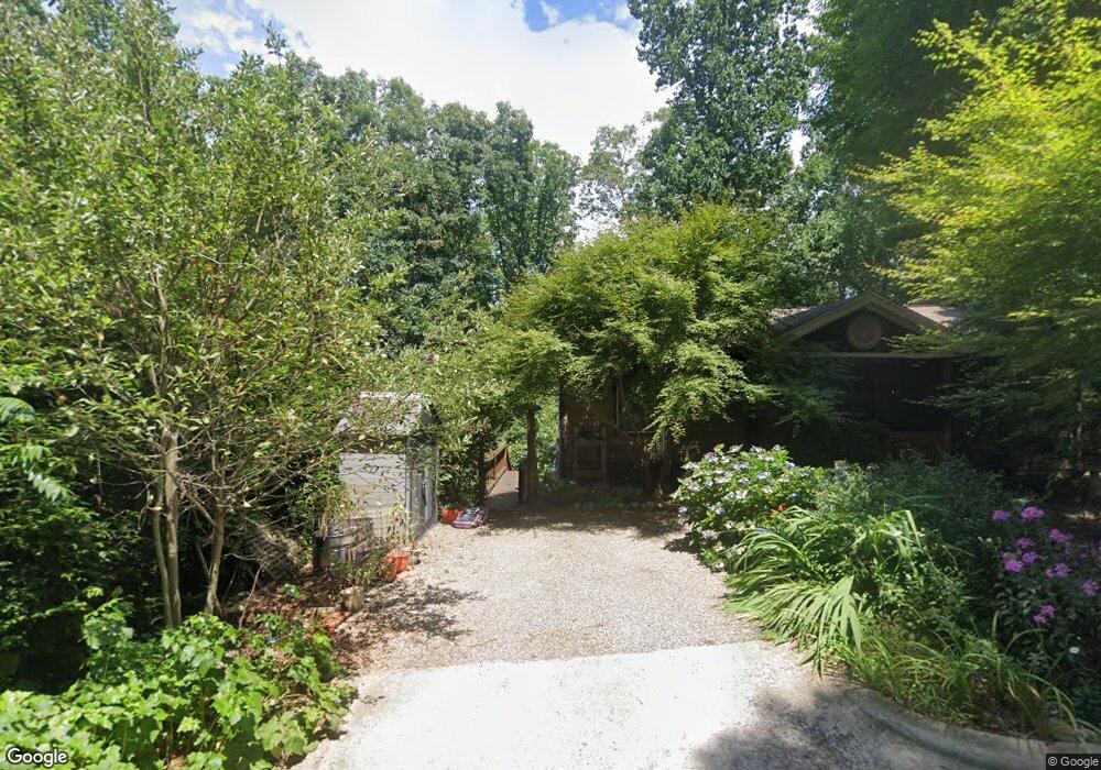
3 Desota St Asheville, NC 28806
West Asheville NeighborhoodEstimated Value: $429,000 - $521,000
3
Beds
2
Baths
1,092
Sq Ft
$419/Sq Ft
Est. Value
About This Home
This home is located at 3 Desota St, Asheville, NC 28806 and is currently estimated at $457,922, approximately $419 per square foot. 3 Desota St is a home located in Buncombe County with nearby schools including Hall Fletcher Elementary, Isaac Dickson Elementary, and Ira B Jones Elementary.
Ownership History
Date
Name
Owned For
Owner Type
Purchase Details
Closed on
Jan 18, 2024
Sold by
Carlin Bonnie M
Bought by
Bonnie M Carlin Trust and Carlin
Current Estimated Value
Purchase Details
Closed on
Oct 11, 2005
Sold by
Batt Associates Inc
Bought by
Carlin Bonnie M
Home Financials for this Owner
Home Financials are based on the most recent Mortgage that was taken out on this home.
Original Mortgage
$127,200
Interest Rate
5.72%
Mortgage Type
Fannie Mae Freddie Mac
Create a Home Valuation Report for This Property
The Home Valuation Report is an in-depth analysis detailing your home's value as well as a comparison with similar homes in the area
Home Values in the Area
Average Home Value in this Area
Purchase History
| Date | Buyer | Sale Price | Title Company |
|---|---|---|---|
| Bonnie M Carlin Trust | -- | None Listed On Document | |
| Carlin Bonnie M | $159,000 | -- | |
| Carlin Bonnie M | $159,000 | -- |
Source: Public Records
Mortgage History
| Date | Status | Borrower | Loan Amount |
|---|---|---|---|
| Previous Owner | Carlin Bonnie M | $127,200 | |
| Previous Owner | Carlin Bonnie M | $143,100 |
Source: Public Records
Tax History Compared to Growth
Tax History
| Year | Tax Paid | Tax Assessment Tax Assessment Total Assessment is a certain percentage of the fair market value that is determined by local assessors to be the total taxable value of land and additions on the property. | Land | Improvement |
|---|---|---|---|---|
| 2025 | $3,344 | $323,700 | $84,300 | $239,400 |
| 2024 | $3,344 | $323,700 | $84,300 | $239,400 |
| 2023 | $3,344 | $323,700 | $84,300 | $239,400 |
| 2022 | $3,228 | $323,700 | $0 | $0 |
| 2021 | $3,228 | $323,700 | $0 | $0 |
| 2020 | $2,984 | $276,800 | $0 | $0 |
| 2019 | $2,984 | $276,800 | $0 | $0 |
| 2018 | $2,984 | $276,800 | $0 | $0 |
| 2017 | $3,011 | $185,900 | $0 | $0 |
| 2016 | $2,285 | $185,900 | $0 | $0 |
| 2015 | $2,285 | $185,900 | $0 | $0 |
| 2014 | $2,257 | $185,900 | $0 | $0 |
Source: Public Records
Map
Nearby Homes
- 12 Mountain Song Ln
- 16 Mountain Song Ln
- 345 Riverview Dr
- 65 Moore Ave
- 451 Riverview Dr
- 34 Bradley St
- 32 Grandview Dr
- 45 Tahkieostie Trail
- 20 Grandview Dr
- 100 Bradley St
- 27 Lamb Ave
- 65 Garden Cir
- 107 Bradley St
- 120 Joyner Ave
- 152 Joyner Ave
- 30 Upstream Way
- 186 Joyner Ave
- 112 Swannanoa Ave
- 135 Swannanoa Ave
- 183 Swannanoa Ave
- 5 Desota St
- 426 Riverview Dr
- 4 Desota St
- 428 Riverview Dr
- 408 Riverview Dr
- 412 Riverview Dr
- 404 Riverview Dr
- 7 Desota St
- 424 Riverview Dr
- 416 Riverview Dr
- 430 Riverview Dr
- 431 Riverview Dr
- 433 Riverview Dr
- 10 Desota St
- 435 Riverview Dr
- 432 Riverview Dr
- 390 Riverview Dr
- 12 Tahkieostie Trail
- 437 Riverview Dr
- 10 Trellis Ct