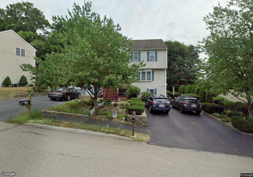
3 Jenpaul Way Unit B Milford, MA 01757
Estimated Value: $440,841 - $470,000
3
Beds
2
Baths
1,271
Sq Ft
$354/Sq Ft
Est. Value
About This Home
This home is located at 3 Jenpaul Way Unit B, Milford, MA 01757 and is currently estimated at $450,460, approximately $354 per square foot. 3 Jenpaul Way Unit B is a home located in Worcester County with nearby schools including Milford High School and Bethany Christian Academy.
Ownership History
Date
Name
Owned For
Owner Type
Purchase Details
Closed on
Jun 27, 2002
Sold by
Apja Rt and Nash Alan W
Bought by
Khoury Nicolas M and Pipping Anna H
Current Estimated Value
Home Financials for this Owner
Home Financials are based on the most recent Mortgage that was taken out on this home.
Original Mortgage
$185,200
Interest Rate
6.92%
Mortgage Type
Purchase Money Mortgage
Create a Home Valuation Report for This Property
The Home Valuation Report is an in-depth analysis detailing your home's value as well as a comparison with similar homes in the area
Home Values in the Area
Average Home Value in this Area
Purchase History
| Date | Buyer | Sale Price | Title Company |
|---|---|---|---|
| Khoury Nicolas M | $231,500 | -- |
Source: Public Records
Mortgage History
| Date | Status | Borrower | Loan Amount |
|---|---|---|---|
| Open | Khoury Nicolas M | $154,000 | |
| Closed | Khoury Nicolas M | $185,200 |
Source: Public Records
Tax History Compared to Growth
Tax History
| Year | Tax Paid | Tax Assessment Tax Assessment Total Assessment is a certain percentage of the fair market value that is determined by local assessors to be the total taxable value of land and additions on the property. | Land | Improvement |
|---|---|---|---|---|
| 2025 | $4,858 | $379,500 | $0 | $379,500 |
| 2024 | $4,969 | $373,900 | $0 | $373,900 |
| 2023 | $4,933 | $341,400 | $0 | $341,400 |
| 2022 | $4,388 | $285,100 | $0 | $285,100 |
| 2021 | $4,232 | $264,800 | $0 | $264,800 |
| 2020 | $4,070 | $255,000 | $0 | $255,000 |
| 2019 | $3,950 | $238,800 | $0 | $238,800 |
| 2018 | $3,638 | $219,700 | $0 | $219,700 |
| 2017 | $3,529 | $210,200 | $0 | $210,200 |
| 2016 | $3,599 | $209,500 | $0 | $209,500 |
| 2015 | $3,645 | $207,700 | $0 | $207,700 |
Source: Public Records
Map
Nearby Homes
- 35 Woodland Ave Unit 35A
- 17 Middleton St
- 57 Beach St
- 9 Hillside Ave
- 3 S Central St
- 55 Jefferson St
- 15 Free St
- 102-104 Central St
- Lot 1 Florence St
- 56 S Bow St
- 97 E Street Extension
- 48 Claflin St
- 27 Grant St
- 10-12 Orchard St
- 4 E Charles St
- 29 Forest St
- 33 Chestnut St
- 30 Whitney St
- 39 Emmons St
- 23 Christina Rd
- 3 Jenpaul Way Unit A
- 3A Jen Paul Way Unit 3A
- 5 Jenpaul Way Unit B
- 5 Jenpaul Way
- 5 B Jen Paul Way
- 1 Jenpaul Way Unit B
- 1 Jenpaul Way Unit A
- 1 A Jen Paul Way Unit 1 A
- 5 Jen Paul Way Unit 5B
- 9A Jen-Paul Way Unit B8
- 6 B Jen Paul Way Unit 6B
- 6A Jenpaul Way
- 6 Jenpaul Way Unit B
- 6 Jenpaul Way Unit A
- 6 Manguso Ct
- 4 Jenpaul Way Unit B
- 4 Jenpaul Way Unit A
- 4 Jen Paul Way Unit B
- 4 Jen Paul Way Unit 4B
- 4 Jenpaul Way Unit 4A