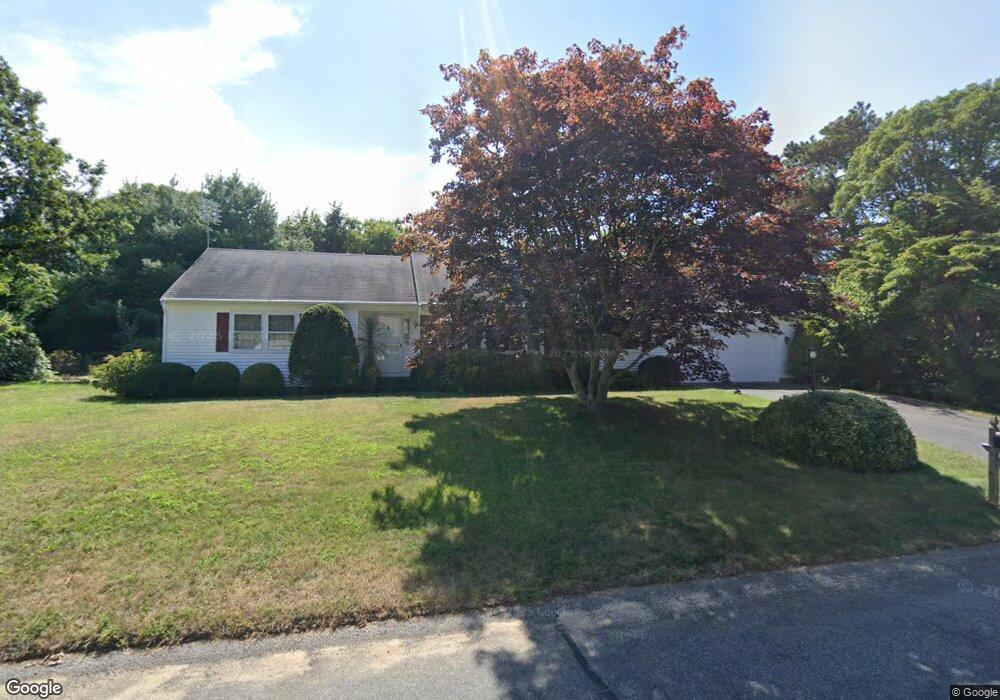
3 Wianno Rd Yarmouth Port, MA 02675
Yarmouth Port NeighborhoodEstimated Value: $687,479 - $752,000
2
Beds
2
Baths
1,478
Sq Ft
$486/Sq Ft
Est. Value
About This Home
This home is located at 3 Wianno Rd, Yarmouth Port, MA 02675 and is currently estimated at $717,870, approximately $485 per square foot. 3 Wianno Rd is a home located in Barnstable County with nearby schools including Dennis-Yarmouth Regional High School and St. Pius X. School.
Ownership History
Date
Name
Owned For
Owner Type
Purchase Details
Closed on
Dec 9, 2009
Sold by
Lacharite-Soukup Rose Y
Bought by
Cotter James A
Current Estimated Value
Home Financials for this Owner
Home Financials are based on the most recent Mortgage that was taken out on this home.
Original Mortgage
$40,000
Outstanding Balance
$26,251
Interest Rate
5.02%
Mortgage Type
Purchase Money Mortgage
Estimated Equity
$691,619
Create a Home Valuation Report for This Property
The Home Valuation Report is an in-depth analysis detailing your home's value as well as a comparison with similar homes in the area
Home Values in the Area
Average Home Value in this Area
Purchase History
| Date | Buyer | Sale Price | Title Company |
|---|---|---|---|
| Cotter James A | $300,000 | -- |
Source: Public Records
Mortgage History
| Date | Status | Borrower | Loan Amount |
|---|---|---|---|
| Open | Cotter James A | $40,000 |
Source: Public Records
Tax History Compared to Growth
Tax History
| Year | Tax Paid | Tax Assessment Tax Assessment Total Assessment is a certain percentage of the fair market value that is determined by local assessors to be the total taxable value of land and additions on the property. | Land | Improvement |
|---|---|---|---|---|
| 2025 | $4,504 | $636,100 | $168,000 | $468,100 |
| 2024 | $4,252 | $576,100 | $146,100 | $430,000 |
| 2023 | $4,177 | $515,100 | $132,800 | $382,300 |
| 2022 | $3,954 | $430,700 | $126,700 | $304,000 |
| 2021 | $3,673 | $384,200 | $126,700 | $257,500 |
| 2020 | $3,635 | $363,500 | $134,000 | $229,500 |
| 2019 | $3,333 | $330,000 | $134,000 | $196,000 |
| 2018 | $3,166 | $307,700 | $111,700 | $196,000 |
| 2017 | $3,083 | $307,700 | $111,700 | $196,000 |
| 2016 | $2,981 | $298,700 | $102,700 | $196,000 |
| 2015 | $2,801 | $279,000 | $98,300 | $180,700 |
Source: Public Records
Map
Nearby Homes
- 44 Stratford Ln
- 86 Pompano Rd
- 43 Canterbury Rd
- 34 Kates Path
- 34 Kates Path Unit 34
- 64 Kates Path
- 17 Kates Path Unit A
- 6 Nimble Hill Dr
- 228 Kates Path
- 25 Oak Glen Village Unit 25
- 25 Oak Glen
- 1 Barnacle Rd
- 7 Forest Gate Unit 7
- 50 John Hall Cartway
- 50 John Hall Cartway Unit 50
- 42 John Hall Cartway Unit 42
- 2 Pine Grove
- 111 Merchant Ave
- 30 W Woods Cir Unit 30
- 30 W Woods