30 1/2 Central Ave N Kensington, MN 56343
Estimated Value: $228,095 - $534,000
--
Bed
--
Bath
4,000
Sq Ft
$95/Sq Ft
Est. Value
About This Home
This home is located at 30 1/2 Central Ave N, Kensington, MN 56343 and is currently estimated at $381,048, approximately $95 per square foot. 30 1/2 Central Ave N is a home with nearby schools including West Central Area Secondary School.
Ownership History
Date
Name
Owned For
Owner Type
Purchase Details
Closed on
Oct 30, 2024
Sold by
Smith Courtney D and Smith Julie A
Bought by
Old Town Hall Inn Llc
Current Estimated Value
Purchase Details
Closed on
Mar 30, 2009
Sold by
Johnson Michael L and Johnson Linda C
Bought by
Smith Courtney
Purchase Details
Closed on
Mar 23, 2009
Sold by
Solem Town Board
Bought by
Smith Courtney
Purchase Details
Closed on
Mar 9, 2009
Sold by
Independent School District
Bought by
Smith Courtney
Create a Home Valuation Report for This Property
The Home Valuation Report is an in-depth analysis detailing your home's value as well as a comparison with similar homes in the area
Home Values in the Area
Average Home Value in this Area
Purchase History
| Date | Buyer | Sale Price | Title Company |
|---|---|---|---|
| Old Town Hall Inn Llc | $500 | None Listed On Document | |
| Smith Courtney | -- | None Available | |
| Smith Courtney | -- | None Available | |
| Smith Courtney | -- | None Available |
Source: Public Records
Tax History Compared to Growth
Tax History
| Year | Tax Paid | Tax Assessment Tax Assessment Total Assessment is a certain percentage of the fair market value that is determined by local assessors to be the total taxable value of land and additions on the property. | Land | Improvement |
|---|---|---|---|---|
| 2025 | $3,584 | $195,700 | $9,700 | $186,000 |
| 2024 | $3,584 | $190,000 | $9,700 | $180,300 |
| 2023 | $3,346 | $175,600 | $9,700 | $165,900 |
| 2022 | $3,236 | $171,100 | $9,700 | $161,400 |
| 2021 | $1,266 | $149,400 | $9,700 | $139,700 |
| 2020 | $1,334 | $61,300 | $2,300 | $59,000 |
| 2019 | $1,384 | $62,100 | $2,300 | $59,800 |
| 2018 | $1,496 | $63,100 | $2,300 | $60,800 |
| 2017 | $1,622 | $73,500 | $2,300 | $71,200 |
| 2016 | $2,336 | $71,101 | $2,231 | $68,870 |
| 2015 | $2,366 | $0 | $0 | $0 |
| 2014 | -- | $108,600 | $2,300 | $106,300 |
Source: Public Records
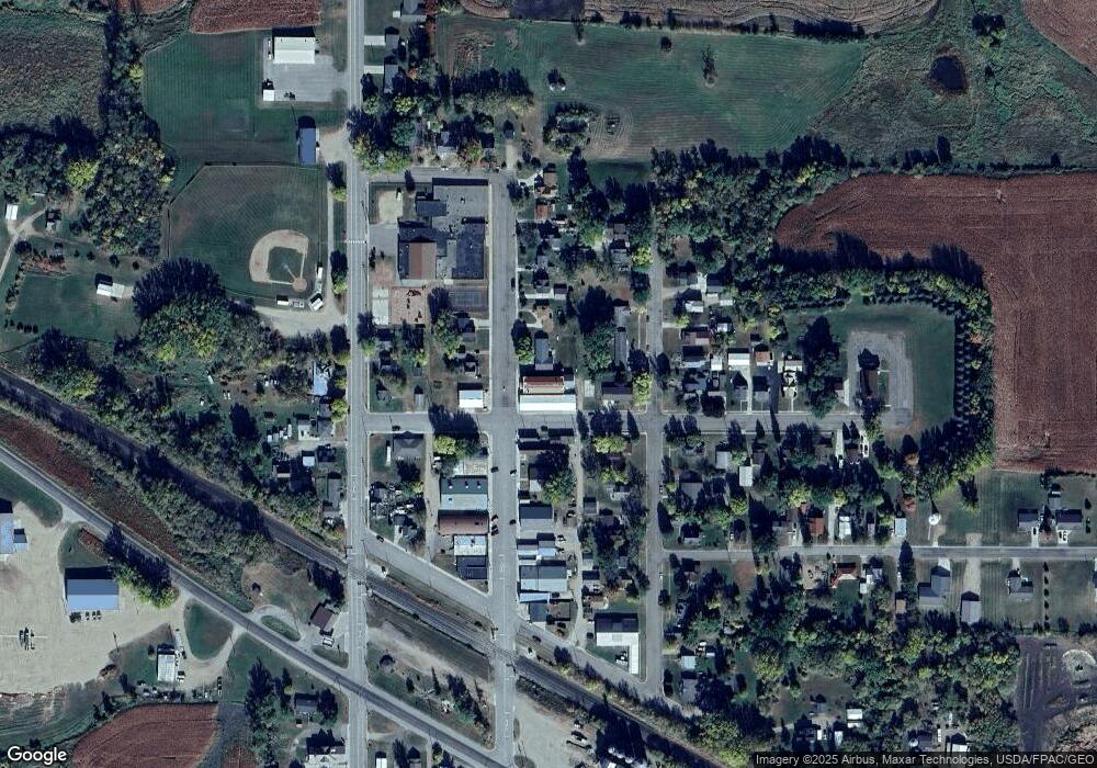
Map
Nearby Homes
- 27 Central Ave N Unit SW
- 16 Tower St
- TBD Solem Lake Rd SW
- 4291 County Road 1 SW
- 114 8th St S
- TBD County Road 7 SW
- XXX County Road 7 SW
- 406 1st St S
- 64.4 acres Westridge Ln SW
- 103 Arkansas Ave
- 108 4th St N
- 104 3rd St N
- 302 Dakota Ave
- XXX Loon Point Dr
- 12926 Daisy Ln SW
- TBD 1st St N
- 000 Red Rock Shores Dr SW
- 6070 Fern Ln SW
- Lot 1 Fern Ln
- 2134 County Road 15 SW
- 30 30 Central N
- 30 30 Central-Avenue-n
- 30 Central Ave N
- 28 Central Ave N Unit SW
- 11 11 State St
- 11 State St E
- 11 State St E Unit 1
- 32 Central Ave N Unit SW
- 32 Central Ave N Unit SW
- 13 State St E
- 24 Central Ave N Unit SW
- 23 Central Ave N
- 34 Central Ave N Unit SW
- 25 Central Ave N Unit SW
- 25 Central Ave N Unit SW
- 21 21 Grand Ave N
- 21 Grand Ave N
- 21 Central Ave N Unit SW
- 21 Grand Ave N
- 17 Grand Ave N