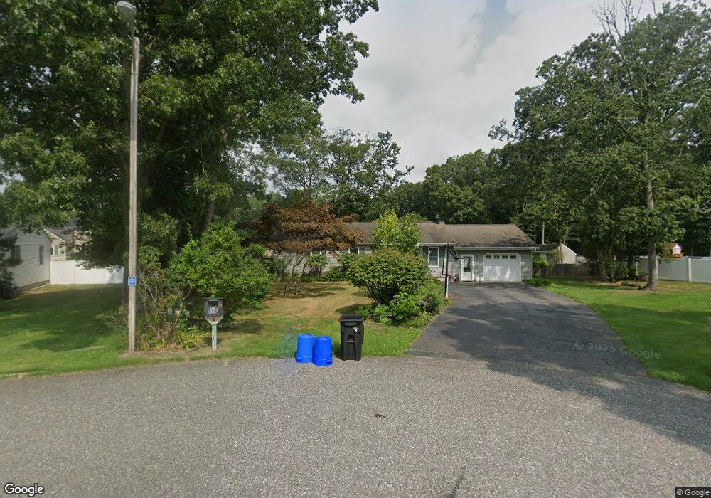
30 Rita Dr Cape May Court House, NJ 08210
Estimated Value: $521,000
3
Beds
2
Baths
1,600
Sq Ft
$326/Sq Ft
Est. Value
About This Home
This home is located at 30 Rita Dr, Cape May Court House, NJ 08210 and is currently estimated at $521,000, approximately $325 per square foot. 30 Rita Dr is a home located in Cape May County with nearby schools including Middle Township Elementary No. 1, Middle Township Elementary No. 2, and Middle Township Middle School.
Ownership History
Date
Name
Owned For
Owner Type
Purchase Details
Closed on
Dec 13, 2019
Sold by
Knoll Dennis B and Knoll Deborah J
Current Estimated Value
Home Financials for this Owner
Home Financials are based on the most recent Mortgage that was taken out on this home.
Original Mortgage
$268,055
Outstanding Balance
$234,676
Interest Rate
3.25%
Mortgage Type
FHA
Estimated Equity
$286,324
Purchase Details
Closed on
Aug 1, 1980
Bought by
Knoll Dennis B and Deborah Jo
Create a Home Valuation Report for This Property
The Home Valuation Report is an in-depth analysis detailing your home's value as well as a comparison with similar homes in the area
Home Values in the Area
Average Home Value in this Area
Purchase History
| Date | Buyer | Sale Price | Title Company |
|---|---|---|---|
| -- | $273,000 | None Available | |
| Knoll Dennis B | $7,000 | -- |
Source: Public Records
Mortgage History
| Date | Status | Borrower | Loan Amount |
|---|---|---|---|
| Open | -- | $268,055 |
Source: Public Records
Tax History Compared to Growth
Tax History
| Year | Tax Paid | Tax Assessment Tax Assessment Total Assessment is a certain percentage of the fair market value that is determined by local assessors to be the total taxable value of land and additions on the property. | Land | Improvement |
|---|---|---|---|---|
| 2025 | $5,201 | $246,600 | $138,700 | $107,900 |
| 2024 | $5,201 | $246,600 | $138,700 | $107,900 |
| 2023 | $5,070 | $246,600 | $138,700 | $107,900 |
| 2022 | $4,925 | $246,600 | $138,700 | $107,900 |
| 2021 | $4,417 | $246,600 | $138,700 | $107,900 |
| 2020 | $4,708 | $246,600 | $138,700 | $107,900 |
| 2019 | $4,587 | $246,600 | $138,700 | $107,900 |
| 2018 | $4,515 | $246,600 | $138,700 | $107,900 |
| 2017 | $4,424 | $246,600 | $138,700 | $107,900 |
| 2016 | $4,313 | $246,600 | $138,700 | $107,900 |
| 2015 | $4,281 | $246,600 | $138,700 | $107,900 |
| 2014 | $4,254 | $246,600 | $138,700 | $107,900 |
Source: Public Records
Map
Nearby Homes
- 506 Hand Ave
- 4 Darott Dr
- 416 Hand Ave
- 4 Railroad Ave
- 445 Dias Creek Rd
- 90 Wynndemere Ct
- 3 Buckingham Rd
- 8 Buckingham Rd
- 2 Buckingham Rd
- 5 Buckingham Rd
- 7 Buckingham Rd
- 411 Dias Creek Rd
- 416 Goshen Rd
- 220 Hand Ave
- 212 Shunpike Rd
- 13 Poplar St
- 47 Fishing Creek Rd
- 24 Church St
- 310 Front St
- 614 Dias Creek Rd