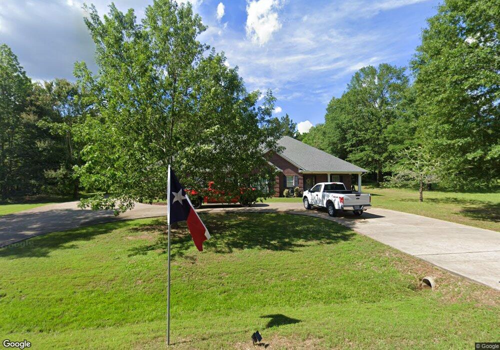
30 Saddlebrook Dr Texarkana, TX 75501
Estimated Value: $353,000 - $442,000
4
Beds
3
Baths
2,655
Sq Ft
$147/Sq Ft
Est. Value
About This Home
This home is located at 30 Saddlebrook Dr, Texarkana, TX 75501 and is currently estimated at $389,138, approximately $146 per square foot. 30 Saddlebrook Dr is a home located in Bowie County with nearby schools including Liberty-Eylau Early Childhood Center, Liberty-Eylau Primary School, and Liberty-Eylau C.K. Bender Elementary Campus.
Ownership History
Date
Name
Owned For
Owner Type
Purchase Details
Closed on
May 9, 2019
Sold by
Jennings Howard J and Jennings Sylvia
Bought by
Anderson William Dane and Hackett Anderson Lena Michelle
Current Estimated Value
Home Financials for this Owner
Home Financials are based on the most recent Mortgage that was taken out on this home.
Original Mortgage
$262,000
Outstanding Balance
$228,924
Interest Rate
4%
Mortgage Type
VA
Estimated Equity
$160,214
Purchase Details
Closed on
Nov 7, 2007
Sold by
Bergt Kathy
Bought by
Jennings Howard and Jennings Sylvia
Create a Home Valuation Report for This Property
The Home Valuation Report is an in-depth analysis detailing your home's value as well as a comparison with similar homes in the area
Home Values in the Area
Average Home Value in this Area
Purchase History
| Date | Buyer | Sale Price | Title Company |
|---|---|---|---|
| Anderson William Dane | -- | Twin City Title | |
| Jennings Howard | -- | Twin City Title |
Source: Public Records
Mortgage History
| Date | Status | Borrower | Loan Amount |
|---|---|---|---|
| Open | Anderson William Dane | $262,000 |
Source: Public Records
Tax History Compared to Growth
Tax History
| Year | Tax Paid | Tax Assessment Tax Assessment Total Assessment is a certain percentage of the fair market value that is determined by local assessors to be the total taxable value of land and additions on the property. | Land | Improvement |
|---|---|---|---|---|
| 2025 | -- | $405,251 | $20,000 | $385,251 |
| 2024 | $5,904 | $399,687 | $18,000 | $381,687 |
| 2023 | $5,654 | $378,376 | $18,000 | $360,376 |
| 2022 | $5,864 | $340,343 | $18,000 | $322,343 |
| 2021 | $4,690 | $255,971 | $16,000 | $239,971 |
| 2020 | $4,489 | $243,202 | $14,500 | $228,702 |
| 2019 | $4,516 | $232,478 | $14,500 | $217,978 |
| 2018 | $4,355 | $224,221 | $14,500 | $209,721 |
| 2017 | $4,486 | $231,822 | $14,500 | $217,322 |
| 2016 | $4,366 | $225,609 | $14,500 | $211,109 |
| 2015 | $4,185 | $223,571 | $14,500 | $209,071 |
| 2014 | $4,185 | $223,793 | $14,500 | $209,293 |
Source: Public Records
Map
Nearby Homes
- 144 Joe Tyl Rd
- 6 Southridge St
- 1 Starlite Dr
- 194 W Starlite Dr
- 280 Patriot Way
- 403 Brookfield St
- 7689 Us-59
- 101 Redwood Dr
- 206 Fm 3244
- 7685 State Highway 59
- 0 Lakeshore
- 6514 Buchanan Loop Rd
- 8523 U S 59
- 6606 Us-59
- 6606 Us Highway 59 S
- 327 Crudip Ln
- 6815 Buchanan Loop Rd
- 4214 Farm To Market 2148
- 0 Randall Rd
- 384 Lake Breeze Dr
- 15 Saddle Brook Dr
- 55 Saddlebrook Dr
- 5507 Buchanan Loop Rd
- 5505 Buchanan Loop Rd
- 5510 Buchanan Loop Rd
- 5 Sherry Ridge
- 7 Sherry Ridge
- 3 Sherry Ridge
- 9 Sherry Ridge
- 1 Sherry Ridge
- 11 Sherry Ridge
- 5712 Buchanan Loop Rd
- 15 Sherry Ridge
- 5424 Buchanan Loop Rd
- 6 Sherry Ridge
- 8 Sherry Ridge
- 4 Sherry Ridge
- 10 Sherry Ridge
- 2 Sherry Ridge
- 12 Sherry Ridge