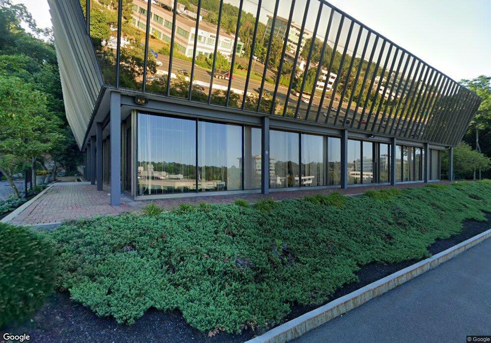
300 3rd Ave Waltham, MA 02451
Estimated Value: $5,962,201
3
Beds
2
Baths
124,950
Sq Ft
$48/Sq Ft
Est. Value
About This Home
This home is located at 300 3rd Ave, Waltham, MA 02451 and is currently priced at $5,962,201, approximately $47 per square foot. 300 3rd Ave is a home located in Middlesex County with nearby schools including Thomas R Plympton Elementary School, John F Kennedy Middle School, and Waltham Sr High School.
Ownership History
Date
Name
Owned For
Owner Type
Purchase Details
Closed on
Mar 2, 2020
Sold by
Lgp Llc
Bought by
300 Third Owner Llc
Current Estimated Value
Purchase Details
Closed on
Apr 13, 1995
Sold by
Prop Asset Mgmt Inc
Bought by
Lgp Lp
Create a Home Valuation Report for This Property
The Home Valuation Report is an in-depth analysis detailing your home's value as well as a comparison with similar homes in the area
Home Values in the Area
Average Home Value in this Area
Purchase History
| Date | Buyer | Sale Price | Title Company |
|---|---|---|---|
| 300 Third Owner Llc | $4,332,660 | Commonwealth Land Title | |
| Lgp Llc | -- | Commonwealth Land Title | |
| 300 Third Owner Llc | $5,143,849 | Commonwealth Land Title | |
| Lgp Lp | $2,800,000 | -- |
Source: Public Records
Mortgage History
| Date | Status | Borrower | Loan Amount |
|---|---|---|---|
| Previous Owner | Lgp Lp | $2,800,000 | |
| Previous Owner | Lgp Lp | $1,600,000 |
Source: Public Records
Tax History Compared to Growth
Tax History
| Year | Tax Paid | Tax Assessment Tax Assessment Total Assessment is a certain percentage of the fair market value that is determined by local assessors to be the total taxable value of land and additions on the property. | Land | Improvement |
|---|---|---|---|---|
| 2025 | $1,436,388 | $68,269,400 | $2,781,600 | $65,487,800 |
| 2024 | $910,062 | $43,943,100 | $2,524,800 | $41,418,300 |
| 2023 | $648,699 | $29,553,500 | $1,721,500 | $27,832,000 |
| 2022 | $82,649 | $3,612,300 | $1,561,000 | $2,051,300 |
| 2021 | $77,789 | $3,370,400 | $1,488,000 | $1,882,400 |
| 2020 | $80,398 | $3,300,400 | $1,342,200 | $1,958,200 |
| 2019 | $81,704 | $3,089,000 | $1,225,400 | $1,863,600 |
| 2018 | $77,513 | $2,771,300 | $1,079,600 | $1,691,700 |
| 2017 | $49,931 | $1,719,400 | $1,079,600 | $639,800 |
| 2016 | $50,774 | $1,719,400 | $1,137,900 | $581,500 |
| 2015 | $52,546 | $1,652,900 | $992,000 | $660,900 |
Source: Public Records
Map
Nearby Homes
- 202 Bear Hill Rd
- 14 Willard St
- 37 Summit St
- 91 Prentice St
- 14 Claremont St
- 15 Cedarcroft Ln
- 16 Winter St Unit 26C
- 17 Lexington St
- 43-45 Welligton Unit 3
- 15 Banks St Unit 4
- 326 Bacon St
- 948 Main St Unit 209
- 948 Main St Unit 105
- 11 Autumn Ln
- 79-81 Vernon St
- 49 Lincoln St
- 11 Winthrop Cir
- 92 Milner St
- 15 Howard St
- 15 Whitney Tavern Rd
- 230 2nd Ave
- 288 Second Ave
- 204 2nd Ave
- 305 2nd Ave
- 265 Bear Hill Rd
- 341 2nd Ave
- 240 Bear Hill Rd Unit 205
- 240 Bear Hill Rd Unit 104
- 240 Bear Hill Rd Unit 106
- 240 Bear Hill Rd Unit 103
- 240 Bear Hill Rd Unit 206
- 240 Bear Hill Rd Unit 101
- 240 Bear Hill Rd Unit 202
- 240 Bear Hill Rd
- 240 Bear Hill Rd Unit 203
- 208 5th Ave Unit 208 1/2
- 208 5th Ave
- 260 Bear Hill Rd Unit 104
- 260 Bear Hill Rd Unit 302
- 260 Bear Hill Rd Unit 301