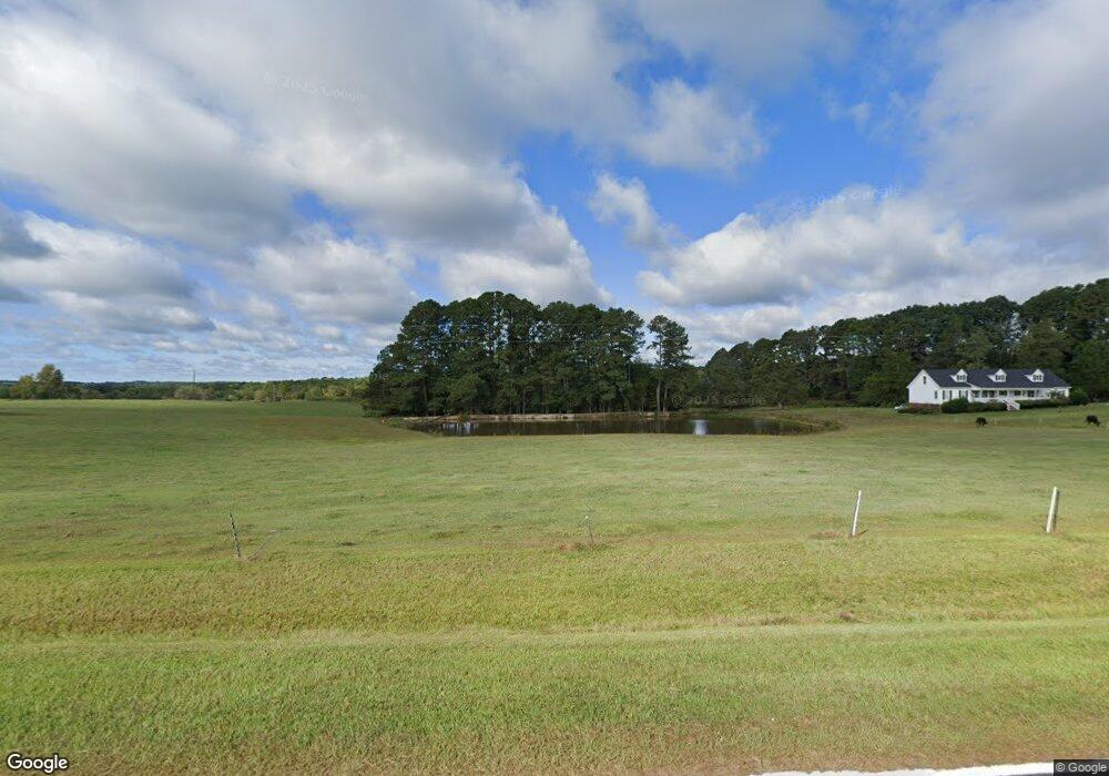
300 Albert Gupton Rd Louisburg, NC 27549
Estimated Value: $156,000 - $1,623,060
3
Beds
1
Bath
1,236
Sq Ft
$532/Sq Ft
Est. Value
About This Home
This home is located at 300 Albert Gupton Rd, Louisburg, NC 27549 and is currently estimated at $658,020, approximately $532 per square foot. 300 Albert Gupton Rd is a home with nearby schools including Laurel Mill Elementary School, Terrell Lane Middle School, and Louisburg High School.
Ownership History
Date
Name
Owned For
Owner Type
Purchase Details
Closed on
Dec 20, 2021
Sold by
Russell Gupton George and Russell Vicki J
Bought by
Union Level Land And Timber Llc
Current Estimated Value
Purchase Details
Closed on
Apr 3, 2019
Sold by
Shearin Sandra C and Shearin Donnie
Bought by
Shearin Sandra G and Gupton George R
Create a Home Valuation Report for This Property
The Home Valuation Report is an in-depth analysis detailing your home's value as well as a comparison with similar homes in the area
Home Values in the Area
Average Home Value in this Area
Purchase History
| Date | Buyer | Sale Price | Title Company |
|---|---|---|---|
| Union Level Land And Timber Llc | $421,500 | None Listed On Document | |
| Shearin Sandra G | -- | None Available |
Source: Public Records
Tax History Compared to Growth
Tax History
| Year | Tax Paid | Tax Assessment Tax Assessment Total Assessment is a certain percentage of the fair market value that is determined by local assessors to be the total taxable value of land and additions on the property. | Land | Improvement |
|---|---|---|---|---|
| 2025 | $1,322 | $845,820 | $786,160 | $59,660 |
| 2024 | $1,314 | $845,820 | $786,160 | $59,660 |
| 2023 | $1,227 | $334,130 | $291,900 | $42,230 |
| 2022 | $1,217 | $334,130 | $291,900 | $42,230 |
| 2021 | $1,230 | $334,130 | $291,900 | $42,230 |
| 2020 | $1,237 | $315,850 | $273,620 | $42,230 |
| 2019 | $1,566 | $334,130 | $291,900 | $42,230 |
| 2018 | $1,561 | $334,130 | $291,900 | $42,230 |
| 2017 | $1,704 | $274,950 | $243,700 | $31,250 |
| 2016 | $1,762 | $274,950 | $243,700 | $31,250 |
| 2015 | $1,762 | $274,950 | $243,700 | $31,250 |
| 2014 | $1,650 | $274,950 | $243,700 | $31,250 |
Source: Public Records
Map
Nearby Homes
- 620 Raymond Tharrington Rd
- 348 Raymond Tharrington Rd
- 4.29 Acres Leonard Rd
- 9.56 Acres Leonard Rd
- 0 Roy Tharrington Rd
- 917 Vaiden Rd
- 0 Vaiden Rd Unit 10102990
- 317 Brewer Rd
- 973 Vaiden Rd
- 1163 Schloss Rd
- 0 Wood Rd
- 1539 Schloss Rd
- 0 Alert Rd
- 979 Alert Rd
- 09 Tillery Dr
- 2253 Pete Smith Rd
- 2329 N Carolina 561
- 11 Tillery Dr
- 3787 N Carolina 58
- 08 Tillery Dr
- 305 Albert Gupton Rd
- 0 Albert Gupton Rd
- 135 Mission Trail
- 583 Raymond Tharrington Rd
- 97 Albert Gupton Rd
- 97 Albert Gupton Rd
- 68 Albert Gupton Rd
- 763 Raymond Tharrington Rd
- 75 Dark Creek Dr
- 673 Raymond Tharrington Rd
- 353 Neal Rd
- 699 Raymond Tharrington Rd
- 595 Raymond Tharrington Rd
- 779 Raymond Tharrington Rd
- 638 Raymond Tharrington Rd
- 821 Raymond Tharrington Rd
- 586 Raymond Tharrington Rd
- 736 Raymond Tharrington Rd
- 716 Raymond Tharrington Rd
- 720 Raymond Tharrington Rd