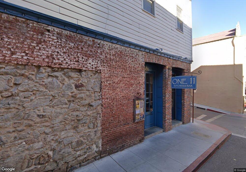
300 Commercial St Unit 201 North Pine Stree Nevada City, CA 95959
Estimated Value: $1,175,996
--
Bed
--
Bath
2,600
Sq Ft
$452/Sq Ft
Est. Value
About This Home
This home is located at 300 Commercial St Unit 201 North Pine Stree, Nevada City, CA 95959 and is currently estimated at $1,175,996, approximately $452 per square foot. 300 Commercial St Unit 201 North Pine Stree is a home located in Nevada County with nearby schools including Deer Creek Elementary School, Seven Hills Intermediate School, and Forest Charter School.
Ownership History
Date
Name
Owned For
Owner Type
Purchase Details
Closed on
Apr 4, 2016
Sold by
Cherry Ronald L and Cherry Kelly C
Bought by
Tabak Onn
Current Estimated Value
Home Financials for this Owner
Home Financials are based on the most recent Mortgage that was taken out on this home.
Original Mortgage
$525,000
Outstanding Balance
$416,257
Interest Rate
3.62%
Mortgage Type
Seller Take Back
Estimated Equity
$759,739
Purchase Details
Closed on
May 9, 2002
Sold by
Filipps Anthony B and Filipps Lisa F
Bought by
Cherry Ronald L and Cherry Kelly C
Purchase Details
Closed on
Mar 4, 1999
Sold by
Filipps Lisa and Filipps Lisa
Bought by
Filipps Anthony B and Filipps Lisa F
Create a Home Valuation Report for This Property
The Home Valuation Report is an in-depth analysis detailing your home's value as well as a comparison with similar homes in the area
Home Values in the Area
Average Home Value in this Area
Purchase History
| Date | Buyer | Sale Price | Title Company |
|---|---|---|---|
| Tabak Onn | $750,000 | Placer Title Company | |
| Cherry Ronald L | $775,000 | Fidelity National Title Co | |
| Filipps Anthony B | -- | Fidelity National Title Co | |
| Filipps Anthony B | -- | -- |
Source: Public Records
Mortgage History
| Date | Status | Borrower | Loan Amount |
|---|---|---|---|
| Open | Tabak Onn | $525,000 |
Source: Public Records
Tax History Compared to Growth
Tax History
| Year | Tax Paid | Tax Assessment Tax Assessment Total Assessment is a certain percentage of the fair market value that is determined by local assessors to be the total taxable value of land and additions on the property. | Land | Improvement |
|---|---|---|---|---|
| 2025 | $9,484 | $887,842 | $236,756 | $651,086 |
| 2024 | $9,317 | $870,434 | $232,114 | $638,320 |
| 2023 | $9,317 | $853,367 | $227,563 | $625,804 |
| 2022 | $9,098 | $836,635 | $223,101 | $613,534 |
| 2021 | $8,820 | $820,231 | $218,727 | $601,504 |
| 2020 | $8,864 | $811,822 | $216,485 | $595,337 |
| 2019 | $9,031 | $795,905 | $212,241 | $583,664 |
| 2018 | $8,870 | $780,300 | $208,080 | $572,220 |
| 2017 | $8,544 | $765,000 | $204,000 | $561,000 |
| 2016 | $6,149 | $563,000 | $140,000 | $423,000 |
| 2015 | $6,046 | $536,000 | $133,000 | $403,000 |
| 2014 | $6,046 | $525,000 | $130,000 | $395,000 |
Source: Public Records
Map
Nearby Homes
- 421 Broad St
- 210 Mill St
- 214 Mill St
- 500 Factory St
- 134 Boulder St
- 327 Drummond St
- 439 Washington St
- 347 Nile St
- 157 Grove St
- 447 Zion St
- 520 Lost Hill Ct
- 260 Boulder St
- 342 Bridge Way
- 336 Bridge Way
- 327 Bridge Way
- 140 Redbud Way
- 660 Chief Kelly Dr
- 631 Chief Kelly Dr
- 651 Chief Kelly Dr
- 661 Chief Kelly Dr
- 300 Commercial St
- 205 N Pine St
- 311 Commercial St
- 315 Commercial St
- 246 Commercial St
- 107 N Pine St
- 312 Commercial St
- 110 N Pine St
- 0 Transcript Building 236-242 Commercial St Unit 4147629-11499771
- 313 Commercial St
- 308 1/2 Broad St
- 201 York St
- 108-1/2 N Pine St
- 110 York St
- 214 Church St
- 312 Broad St
- 239 Commercial St
- 316 Broad St
- 104 N Pine St