300 E Washington St North Attleboro, MA 02760
North Attleboro NeighborhoodEstimated Value: $79,000 - $2,387,188
2
Beds
1
Bath
1,147
Sq Ft
$830/Sq Ft
Est. Value
About This Home
This home is located at 300 E Washington St, North Attleboro, MA 02760 and is currently estimated at $952,063, approximately $830 per square foot. 300 E Washington St is a home located in Bristol County with nearby schools including North Attleboro High School, Cadence Academy Preschool - North Attleborough, and Bishop Feehan High School.
Ownership History
Date
Name
Owned For
Owner Type
Purchase Details
Closed on
Apr 10, 2025
Sold by
G L Fisk Inc
Bought by
Waters Edge Estates Llc
Current Estimated Value
Home Financials for this Owner
Home Financials are based on the most recent Mortgage that was taken out on this home.
Original Mortgage
$4,275,000
Outstanding Balance
$4,256,424
Interest Rate
6.76%
Mortgage Type
Purchase Money Mortgage
Estimated Equity
-$3,304,361
Purchase Details
Closed on
Dec 23, 1985
Bought by
G L Fisk Inc
Create a Home Valuation Report for This Property
The Home Valuation Report is an in-depth analysis detailing your home's value as well as a comparison with similar homes in the area
Home Values in the Area
Average Home Value in this Area
Purchase History
| Date | Buyer | Sale Price | Title Company |
|---|---|---|---|
| Waters Edge Estates Llc | $2,800,000 | None Available | |
| Waters Edge Estates Llc | $2,800,000 | None Available | |
| G L Fisk Inc | $700,000 | -- |
Source: Public Records
Mortgage History
| Date | Status | Borrower | Loan Amount |
|---|---|---|---|
| Open | Waters Edge Estates Llc | $4,275,000 | |
| Closed | Waters Edge Estates Llc | $4,275,000 | |
| Previous Owner | G L Fisk Inc | $200,000 |
Source: Public Records
Tax History Compared to Growth
Tax History
| Year | Tax Paid | Tax Assessment Tax Assessment Total Assessment is a certain percentage of the fair market value that is determined by local assessors to be the total taxable value of land and additions on the property. | Land | Improvement |
|---|---|---|---|---|
| 2025 | $33,367 | $2,830,100 | $2,193,500 | $636,600 |
| 2024 | $30,190 | $2,616,100 | $1,979,500 | $636,600 |
| 2023 | $33,341 | $2,606,800 | $1,979,500 | $627,300 |
| 2022 | $36,221 | $2,600,200 | $1,979,500 | $620,700 |
| 2021 | $31,814 | $2,229,400 | $1,647,800 | $581,600 |
| 2020 | $29,567 | $2,060,400 | $1,647,800 | $412,600 |
| 2019 | $29,008 | $2,037,100 | $1,647,800 | $389,300 |
| 2018 | $27,140 | $2,034,500 | $1,647,800 | $386,700 |
| 2017 | $26,896 | $2,034,500 | $1,647,800 | $386,700 |
| 2016 | $26,043 | $1,970,000 | $1,589,000 | $381,000 |
| 2015 | $25,875 | $1,969,200 | $1,589,000 | $380,200 |
| 2014 | $26,072 | $1,969,200 | $1,589,000 | $380,200 |
Source: Public Records
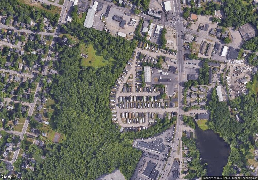
Map
Nearby Homes
- 300 E Washington St Unit 54R
- 130 E Washington St Unit 57
- 130 E Washington St Unit 71
- 130 E Washington St Unit 36
- 130 E Washington St Unit 9
- 50 Metcalf Rd
- 80 Broadway Unit 9
- 16 Richards Ave Unit 106
- 304 Elm St
- 93 Bank St
- 90 Walnut Rd
- 121 E Washington St Unit 8
- 121 E Washington St Unit 12
- 121 E Washington St Unit 6
- 121 E Washington St Unit 13
- 121 E Washington St Unit 11
- 137 Sumner St
- 34 Poppasquash Rd
- 47 Juniper Rd Unit F9
- 19 Church St Unit C9
- 36 Riverside
- 100 Main St
- 38 Riverside Unit 38 38
- 38 Riverside
- 50 Riverside Dr
- 62 Riverside Dr
- 64 Riverside Dr
- 999-20 Hickory Rd Lot 20
- 999-20 Hickory Road Lot 20
- 11 B A Dr Unit G
- 11 B A Dr Unit F
- 999-11 Hickory Rd Lot 11
- 999-11 Hickory Road Lot 11
- 1 Riverside Dr
- 14 Main St Unit M-14
- 12 Riverside Dr
- 15 North Dr
- 999-10 Hickory Road Lot 10
- 999-12 Hickory Rd Lot 12
- 7 B A Dr Unit E