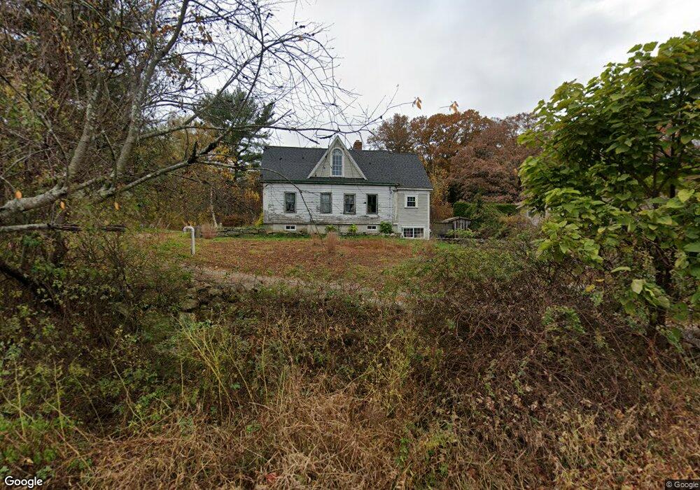
300 Oak St Uxbridge, MA 01569
Estimated Value: $426,917 - $555,000
3
Beds
2
Baths
1,815
Sq Ft
$267/Sq Ft
Est. Value
About This Home
This home is located at 300 Oak St, Uxbridge, MA 01569 and is currently estimated at $483,729, approximately $266 per square foot. 300 Oak St is a home with nearby schools including Uxbridge High School.
Ownership History
Date
Name
Owned For
Owner Type
Purchase Details
Closed on
Jun 14, 2013
Sold by
Delory Johl N and Larseau Kristen
Bought by
Delory Johl N
Current Estimated Value
Purchase Details
Closed on
Nov 4, 2009
Sold by
Delorey Carl Newton and Delorey Barbara J
Bought by
Delorey Johl N and Lareau Kristen
Home Financials for this Owner
Home Financials are based on the most recent Mortgage that was taken out on this home.
Original Mortgage
$170,000
Interest Rate
5.06%
Mortgage Type
Purchase Money Mortgage
Create a Home Valuation Report for This Property
The Home Valuation Report is an in-depth analysis detailing your home's value as well as a comparison with similar homes in the area
Home Values in the Area
Average Home Value in this Area
Purchase History
| Date | Buyer | Sale Price | Title Company |
|---|---|---|---|
| Delory Johl N | -- | -- | |
| Delorey Johl N | $75,000 | -- |
Source: Public Records
Mortgage History
| Date | Status | Borrower | Loan Amount |
|---|---|---|---|
| Previous Owner | Delorey Johl N | $170,000 |
Source: Public Records
Tax History Compared to Growth
Tax History
| Year | Tax Paid | Tax Assessment Tax Assessment Total Assessment is a certain percentage of the fair market value that is determined by local assessors to be the total taxable value of land and additions on the property. | Land | Improvement |
|---|---|---|---|---|
| 2025 | $31 | $237,900 | $142,400 | $95,500 |
| 2024 | $2,860 | $221,400 | $130,700 | $90,700 |
| 2023 | $2,642 | $189,400 | $118,600 | $70,800 |
| 2022 | $2,589 | $170,800 | $107,600 | $63,200 |
| 2021 | $2,585 | $163,400 | $102,900 | $60,500 |
| 2020 | $2,789 | $166,600 | $106,900 | $59,700 |
| 2019 | $2,693 | $155,200 | $99,000 | $56,200 |
| 2018 | $2,555 | $148,800 | $99,000 | $49,800 |
| 2017 | $2,361 | $139,200 | $93,400 | $45,800 |
| 2016 | $2,440 | $138,900 | $96,000 | $42,900 |
| 2015 | $2,399 | $137,900 | $96,000 | $41,900 |
Source: Public Records
Map
Nearby Homes
- 371 Hartford Ave E
- 50 Carrington Ln
- 75 Lake St
- 3 Strathmore Shire Unit A
- 20 Nature View Dr Unit 20
- 24 Olde Canal Way Unit 24
- 72 Homeward Ave
- 44 Arthur Dr Unit 44
- 0 Louis St
- 48 Homeward Ave
- 35 Highland Park Unit 35
- 14 Woodland Rd
- 307 N Main St
- 36 Elm St
- 46 Pouts Ln Unit 46
- 256 Mendon St
- 129 Elm St Unit Lot 7
- 94 Heritage Dr Unit 94
- 0 Homestead Ave
- 37 Elizabeth St
- 312 Oak St
- 294 Oak St
- 251 Hartford Ave E
- 255 E Hartford Ave
- 261 E Hartford Ave
- 340 Oak St
- 271 E Hartford Ave
- 243 E Hartford Ave
- 258 E Hartford Ave
- 270 E Hartford Ave
- 237 Hartford Ave E
- 231 E Hartford Ave
- 238 E Hartford Ave
- 282 E Hartford Ave
- 225 E Hartford Ave
- 230 Hartford Ave E
- 215 Hartford Ave E
- 85 Londonderry Way
- 75 Londonderry Way
- 95 William Ward St