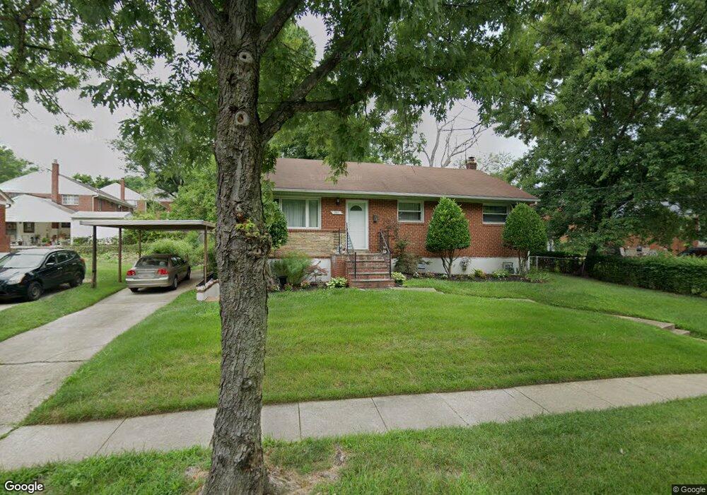
301 Cabin Branch Rd Capitol Heights, MD 20743
Estimated Value: $343,000 - $410,000
--
Bed
2
Baths
1,050
Sq Ft
$355/Sq Ft
Est. Value
About This Home
This home is located at 301 Cabin Branch Rd, Capitol Heights, MD 20743 and is currently estimated at $373,252, approximately $355 per square foot. 301 Cabin Branch Rd is a home located in Prince George's County with nearby schools including Concord Elementary School, Walker Mill Middle School, and Central High School.
Ownership History
Date
Name
Owned For
Owner Type
Purchase Details
Closed on
Jun 30, 2006
Sold by
Gaulteau Victoria G
Bought by
Eaddy Jimmie P
Current Estimated Value
Home Financials for this Owner
Home Financials are based on the most recent Mortgage that was taken out on this home.
Original Mortgage
$59,100
Interest Rate
6.59%
Mortgage Type
Stand Alone Second
Purchase Details
Closed on
Jun 8, 2006
Sold by
Gaulteau Victoria G
Bought by
Eaddy Jimmie P
Home Financials for this Owner
Home Financials are based on the most recent Mortgage that was taken out on this home.
Original Mortgage
$59,100
Interest Rate
6.59%
Mortgage Type
Stand Alone Second
Purchase Details
Closed on
Mar 31, 2003
Sold by
Brown Veronica D
Bought by
Gaulteau Victoria G
Purchase Details
Closed on
Oct 8, 1992
Sold by
Whitfield John H
Bought by
Brown Veronica D
Create a Home Valuation Report for This Property
The Home Valuation Report is an in-depth analysis detailing your home's value as well as a comparison with similar homes in the area
Home Values in the Area
Average Home Value in this Area
Purchase History
| Date | Buyer | Sale Price | Title Company |
|---|---|---|---|
| Eaddy Jimmie P | $295,500 | -- | |
| Eaddy Jimmie P | $295,500 | -- | |
| Gaulteau Victoria G | $152,000 | -- | |
| Brown Veronica D | $115,000 | -- |
Source: Public Records
Mortgage History
| Date | Status | Borrower | Loan Amount |
|---|---|---|---|
| Closed | Eaddy Jimmie P | $59,100 | |
| Open | Eaddy Jimmie P | $236,400 | |
| Closed | Eaddy Jimmie P | $236,400 |
Source: Public Records
Tax History Compared to Growth
Tax History
| Year | Tax Paid | Tax Assessment Tax Assessment Total Assessment is a certain percentage of the fair market value that is determined by local assessors to be the total taxable value of land and additions on the property. | Land | Improvement |
|---|---|---|---|---|
| 2025 | $3,666 | $305,900 | -- | -- |
| 2024 | $3,666 | $282,500 | $0 | $0 |
| 2023 | $3,496 | $259,100 | $60,500 | $198,600 |
| 2022 | $3,383 | $253,867 | $0 | $0 |
| 2021 | $3,274 | $248,633 | $0 | $0 |
| 2020 | $3,232 | $243,400 | $45,200 | $198,200 |
| 2019 | $3,109 | $224,767 | $0 | $0 |
| 2018 | $2,972 | $206,133 | $0 | $0 |
| 2017 | $2,850 | $187,500 | $0 | $0 |
| 2016 | -- | $174,867 | $0 | $0 |
| 2015 | $3,395 | $162,233 | $0 | $0 |
| 2014 | $3,395 | $149,600 | $0 | $0 |
Source: Public Records
Map
Nearby Homes
- 418 Saint Margarets Dr
- 423 Saint Margarets Dr
- 421 Saint Margarets Dr
- 6512 Rolling Ridge Dr
- 6610 Central Ave
- 6903 Fawncrest Dr
- 6706 Central Ave
- 209 Addison Rd S
- 8 Cindy Ln
- 530 Victorianna Dr
- 708 Iona Terrace
- 710 Iona Terrace
- 908 Evers Ave
- 6915 Adel St
- 6610 Arlene Dr
- 6103 Westin Ct
- 6913 Canyon Dr
- 117 Pepper Mill Dr
- 204 68th Place
- 208 68th Place
- 303 Cabin Branch Rd
- 417 Clearfield Place
- 420 Milfan Dr
- 415 Clearfield Place
- 413 Clearfield Place
- 418 Milfan Dr
- 411 Clearfield Place
- 421 Milfan Dr
- 416 Milfan Dr
- 209 Cabin Branch Rd
- 409 Clearfield Place
- 419 Milfan Dr
- 414 Clearfield Place
- 414 Milfan Dr
- 6501 Clearfield Ct
- 401 Cabin Branch Rd
- 417 Milfan Dr
- 407 Clearfield Place
- 412 Milfan Dr
- 6503 Clearfield Ct