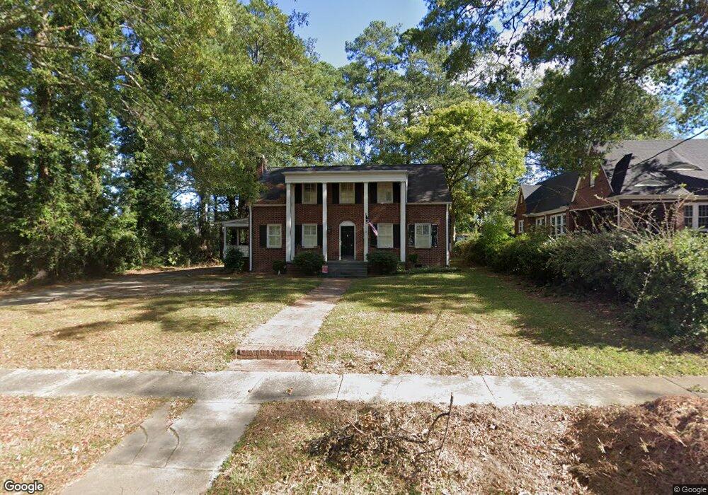
301 Durst Ave W Greenwood, SC 29649
Estimated Value: $239,000 - $325,000
3
Beds
2
Baths
2,100
Sq Ft
$127/Sq Ft
Est. Value
About This Home
This home is located at 301 Durst Ave W, Greenwood, SC 29649 and is currently estimated at $265,892, approximately $126 per square foot. 301 Durst Ave W is a home located in Greenwood County with nearby schools including Pinecrest Elementary School, Northside Middle School, and Greenwood High School.
Ownership History
Date
Name
Owned For
Owner Type
Purchase Details
Closed on
Aug 29, 2007
Sold by
Flowe Frederick Richard
Bought by
Davis Cason Raquel Michelle
Current Estimated Value
Home Financials for this Owner
Home Financials are based on the most recent Mortgage that was taken out on this home.
Original Mortgage
$111,800
Outstanding Balance
$71,254
Interest Rate
6.7%
Mortgage Type
Stand Alone First
Estimated Equity
$194,638
Purchase Details
Closed on
Jun 30, 2006
Sold by
Childers Tammera and Flowe Tammera C
Bought by
Flowe Frederick Richard
Create a Home Valuation Report for This Property
The Home Valuation Report is an in-depth analysis detailing your home's value as well as a comparison with similar homes in the area
Home Values in the Area
Average Home Value in this Area
Purchase History
| Date | Buyer | Sale Price | Title Company |
|---|---|---|---|
| Davis Cason Raquel Michelle | $139,852 | -- | |
| Flowe Frederick Richard | -- | -- |
Source: Public Records
Mortgage History
| Date | Status | Borrower | Loan Amount |
|---|---|---|---|
| Open | Davis Cason Raquel Michelle | $111,800 |
Source: Public Records
Tax History Compared to Growth
Tax History
| Year | Tax Paid | Tax Assessment Tax Assessment Total Assessment is a certain percentage of the fair market value that is determined by local assessors to be the total taxable value of land and additions on the property. | Land | Improvement |
|---|---|---|---|---|
| 2024 | $1,688 | $5,760 | $0 | $0 |
| 2023 | $1,688 | $5,760 | $0 | $0 |
| 2022 | $1,649 | $5,760 | $0 | $0 |
| 2021 | $1,649 | $5,760 | $0 | $0 |
| 2020 | $1,612 | $5,480 | $0 | $0 |
| 2019 | $1,609 | $5,480 | $0 | $0 |
| 2018 | $1,572 | $137,000 | $20,000 | $117,000 |
| 2017 | $1,572 | $137,000 | $20,000 | $117,000 |
| 2016 | $1,574 | $137,000 | $20,000 | $117,000 |
| 2015 | $1,536 | $137,000 | $20,000 | $117,000 |
| 2014 | $1,531 | $5,480 | $0 | $0 |
| 2010 | -- | $136,100 | $16,000 | $120,100 |
Source: Public Records
Map
Nearby Homes
- 215 Grace St
- 152 Grace St
- 107 Burberry Circle Lt 19
- 203 Oristo Dr
- 210 Burberry Circle Lot 60
- 111 Burberry Circle Lot 21
- 106 Ero Dr
- 128 Burberry Circle Lot 12
- 112 Burberry Cir Lot 6
- 110 Ero Dr
- 106 Farnum Rd
- 126
- 108 Ero Dr
- 209 Farnum Rd
- 0 S Hwy 178 Unit 134648
- 133 Burlwood Lot 17
- 109 Burberry Circle Lot 20
- 102 Farnum Rd
- 104 Farnum Rd
- 49 Acres Bypass 72 W
- 303 Durst Ave W
- 221 Durst Ave W
- 305 Durst Ave W
- 222 Durst Ave W
- 307 Durst Ave W
- 220 Durst Ave W
- 218 Durst Ave W
- 124 Blake St
- 128 Blake St
- 216 Durst Ave W
- 114 Blake St
- 120 Blake St
- 214 Durst Ave W
- 0 W Unit 131905
- 229 Grace St
- 313 - 4 Grace Ct
- 225 Grace St
- 314/316 Lawson St
- 212 Durst Ave W
- 313 Grace St