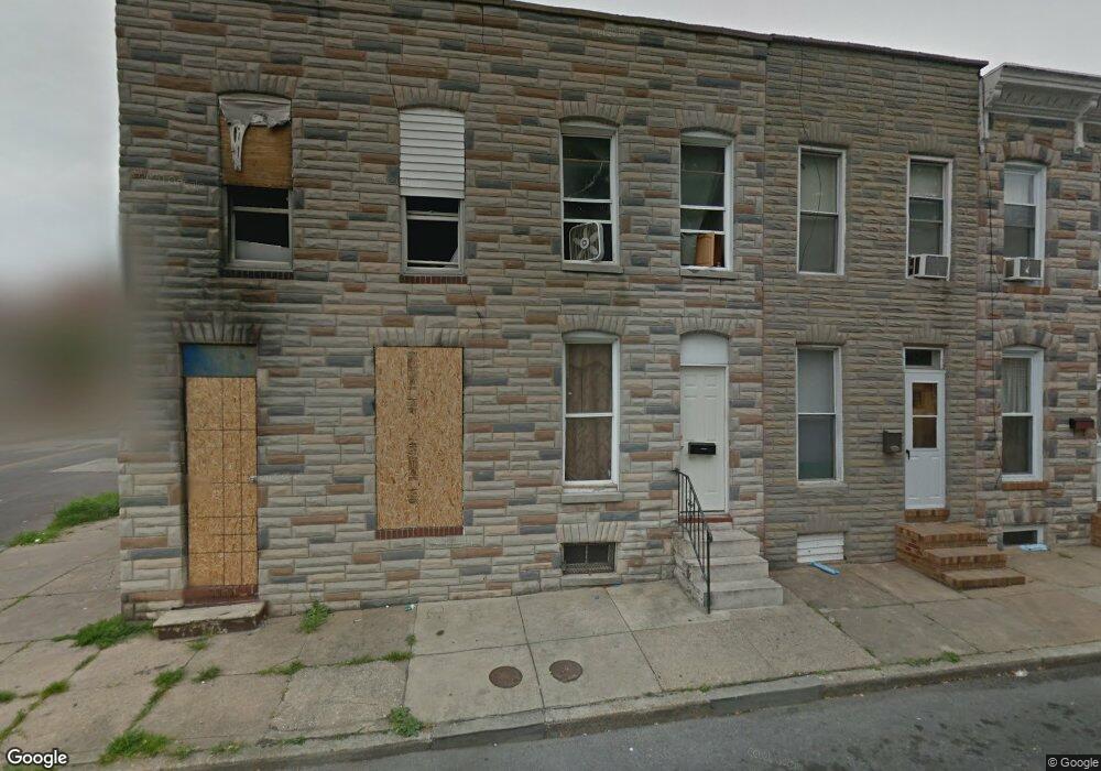
301 Furrow St Baltimore, MD 21223
Carrollton Ridge NeighborhoodEstimated Value: $50,000 - $70,171
5
Beds
2
Baths
--
Sq Ft
958
Sq Ft Lot
About This Home
This home is located at 301 Furrow St, Baltimore, MD 21223 and is currently estimated at $60,086. 301 Furrow St is a home located in Baltimore City with nearby schools including Booker T. Washington Middle School, Edmondson Westside High School, and Frederick Douglass High School.
Ownership History
Date
Name
Owned For
Owner Type
Purchase Details
Closed on
Apr 20, 2012
Sold by
Heald John Dereck
Bought by
Rak Holdings Llc #1
Current Estimated Value
Purchase Details
Closed on
May 8, 2007
Sold by
Kemp William M
Bought by
Heald John Dereck
Home Financials for this Owner
Home Financials are based on the most recent Mortgage that was taken out on this home.
Original Mortgage
$35,000
Interest Rate
8.55%
Mortgage Type
Purchase Money Mortgage
Purchase Details
Closed on
Sep 13, 2001
Sold by
Kemp William M
Bought by
Kemp William M
Create a Home Valuation Report for This Property
The Home Valuation Report is an in-depth analysis detailing your home's value as well as a comparison with similar homes in the area
Home Values in the Area
Average Home Value in this Area
Purchase History
| Date | Buyer | Sale Price | Title Company |
|---|---|---|---|
| Rak Holdings Llc #1 | $3,000 | Shore Thing Title Llc | |
| Heald John Dereck | $36,500 | -- | |
| Kemp William M | -- | -- |
Source: Public Records
Mortgage History
| Date | Status | Borrower | Loan Amount |
|---|---|---|---|
| Previous Owner | Heald John Dereck | $35,000 |
Source: Public Records
Tax History Compared to Growth
Tax History
| Year | Tax Paid | Tax Assessment Tax Assessment Total Assessment is a certain percentage of the fair market value that is determined by local assessors to be the total taxable value of land and additions on the property. | Land | Improvement |
|---|---|---|---|---|
| 2025 | $277 | $13,400 | -- | -- |
| 2024 | $277 | $11,800 | $0 | $0 |
| 2023 | $241 | $10,200 | $2,000 | $8,200 |
| 2022 | $208 | $8,800 | $0 | $0 |
| 2021 | $175 | $7,400 | $0 | $0 |
| 2020 | $142 | $6,000 | $2,000 | $4,000 |
| 2019 | $117 | $5,000 | $0 | $0 |
| 2018 | $94 | $4,000 | $0 | $0 |
| 2017 | $71 | $3,000 | $0 | $0 |
| 2016 | $592 | $3,000 | $0 | $0 |
| 2015 | $592 | $3,000 | $0 | $0 |
| 2014 | $592 | $25,000 | $0 | $0 |
Source: Public Records
Map
Nearby Homes
- 205 S Bentalou St
- 2112 Wilhelm St
- 342 S Smallwood St
- 328 Furrow St
- 347 S Smallwood St
- 207 S Pulaski St
- 320 S Pulaski St
- 322 S Pulaski St
- 2032 W Pratt St
- 406 S Smallwood St
- 202 Harmison St
- 411 Furrow St
- 2241 Ramsay St
- 408 S Bentalou St
- 419 Furrow St
- 2011 Mchenry St
- 420 S Smallwood St
- 423 Furrow St
- 406 S Pulaski St
- 117 S Calverton Rd
- 303 Furrow St
- 305 Furrow St
- 307 Furrow St
- 309 Furrow St
- 311 Furrow St
- 313 Furrow St
- 300 S Smallwood St
- 302 S Smallwood St
- 223 Furrow St
- 2221 Mchenry St
- 304 S Smallwood St
- 315 Furrow St
- 306 S Smallwood St
- 308 S Smallwood St
- 2223 Mchenry St
- 317 Furrow St
- 310 S Smallwood St
- 2225 Mchenry St
- 312 S Smallwood St
- 319 Furrow St