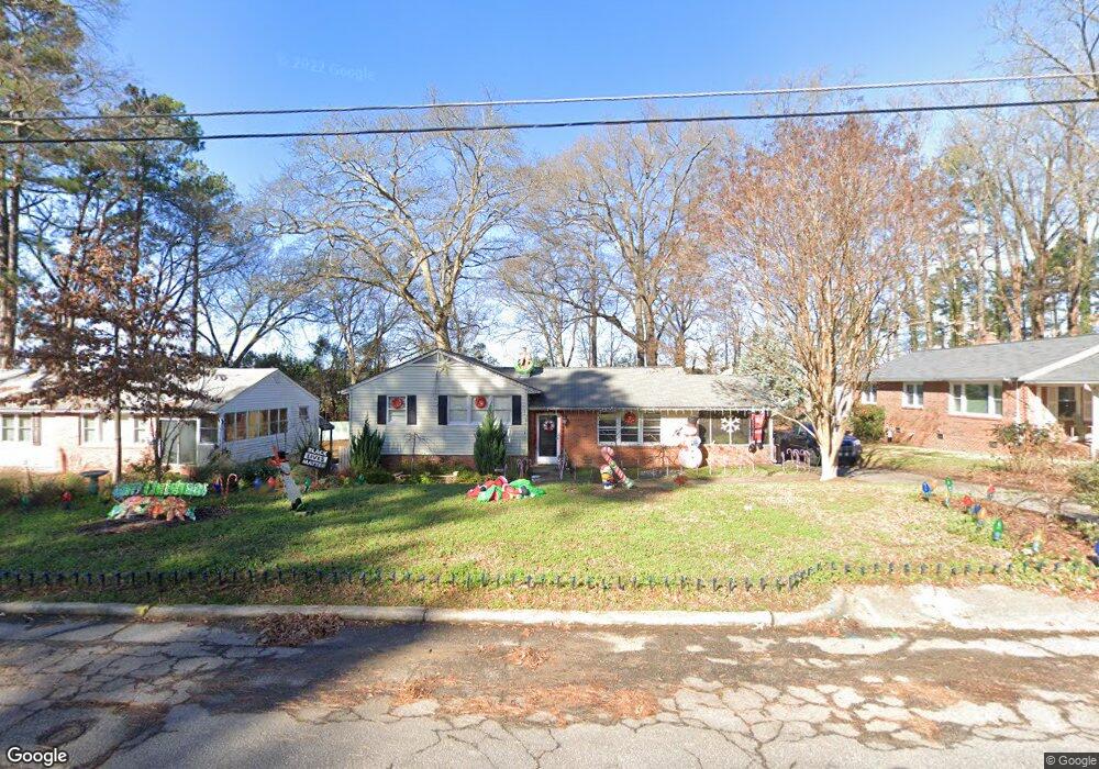
301 Quail Dr Raleigh, NC 27604
Belvedere Park NeighborhoodEstimated Value: $547,000 - $627,173
4
Beds
2
Baths
1,883
Sq Ft
$305/Sq Ft
Est. Value
About This Home
This home is located at 301 Quail Dr, Raleigh, NC 27604 and is currently estimated at $574,043, approximately $304 per square foot. 301 Quail Dr is a home located in Wake County with nearby schools including Conn Elementary, Ligon Magnet Middle School, and Enloe High.
Ownership History
Date
Name
Owned For
Owner Type
Purchase Details
Closed on
Aug 31, 2009
Sold by
May Andrew Walter and May Sara E
Bought by
Andy May Group Llc
Current Estimated Value
Purchase Details
Closed on
Apr 30, 2008
Sold by
Brower Connie and Brower Kevin Thomas
Bought by
May Andrew
Home Financials for this Owner
Home Financials are based on the most recent Mortgage that was taken out on this home.
Original Mortgage
$132,650
Interest Rate
5.84%
Mortgage Type
Purchase Money Mortgage
Create a Home Valuation Report for This Property
The Home Valuation Report is an in-depth analysis detailing your home's value as well as a comparison with similar homes in the area
Home Values in the Area
Average Home Value in this Area
Purchase History
| Date | Buyer | Sale Price | Title Company |
|---|---|---|---|
| Andy May Group Llc | -- | None Available | |
| May Andrew | $189,500 | None Available |
Source: Public Records
Mortgage History
| Date | Status | Borrower | Loan Amount |
|---|---|---|---|
| Previous Owner | May Andrew | $132,650 |
Source: Public Records
Tax History Compared to Growth
Tax History
| Year | Tax Paid | Tax Assessment Tax Assessment Total Assessment is a certain percentage of the fair market value that is determined by local assessors to be the total taxable value of land and additions on the property. | Land | Improvement |
|---|---|---|---|---|
| 2025 | $4,255 | $485,639 | $315,000 | $170,639 |
| 2024 | $4,238 | $485,639 | $315,000 | $170,639 |
| 2023 | $3,501 | $319,403 | $180,000 | $139,403 |
| 2022 | $3,254 | $319,403 | $180,000 | $139,403 |
| 2021 | $3,128 | $319,403 | $180,000 | $139,403 |
| 2020 | $3,071 | $319,403 | $180,000 | $139,403 |
| 2019 | $2,713 | $232,369 | $95,000 | $137,369 |
| 2018 | $2,559 | $232,369 | $95,000 | $137,369 |
| 2017 | $2,437 | $232,369 | $95,000 | $137,369 |
| 2016 | $2,387 | $232,369 | $95,000 | $137,369 |
| 2015 | $2,248 | $215,209 | $80,000 | $135,209 |
| 2014 | -- | $215,209 | $80,000 | $135,209 |
Source: Public Records
Map
Nearby Homes
- 500 Banks St
- 1813 Bennett St
- 1809 Bennett St
- 109 Plainview Ave
- 203 Baggett Ave
- 525 Barksdale Dr
- 202 Baggett Ave
- 406 Columbia Dr
- 113 Plainview Ave
- 1409 Lions Way
- 1421 Lions Way
- 1210 Downing Rd
- 1206 Downing Rd
- 1523 Yarborough Park Dr
- 1300 Park Glen Dr Unit 101
- 1012 Addison Place
- 2207 Millbank St
- 2231 Rumson Rd
- 1016 Addison Place
- 1428 Mordecai Dr