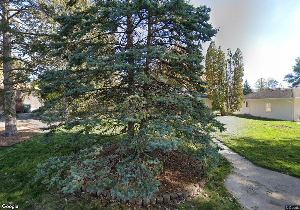
3011 Rankin Rd Saint Anthony, MN 55418
Estimated Value: $480,105 - $513,000
3
Beds
2
Baths
1,615
Sq Ft
$306/Sq Ft
Est. Value
About This Home
This home is located at 3011 Rankin Rd, Saint Anthony, MN 55418 and is currently estimated at $494,526, approximately $306 per square foot. 3011 Rankin Rd is a home located in Hennepin County with nearby schools including Wilshire Park Elementary School, Highland Elementary School, and St. Anthony Middle School.
Ownership History
Date
Name
Owned For
Owner Type
Purchase Details
Closed on
Mar 30, 2017
Sold by
Braun Roger Jeffrey
Bought by
Barkosky Brandon and Barkosky Jennifer
Current Estimated Value
Home Financials for this Owner
Home Financials are based on the most recent Mortgage that was taken out on this home.
Original Mortgage
$250,000
Outstanding Balance
$207,695
Interest Rate
4.15%
Mortgage Type
New Conventional
Estimated Equity
$286,831
Purchase Details
Closed on
Feb 16, 2015
Sold by
Braun Andrea Preussner
Bought by
Braun Roger Jeffrey
Create a Home Valuation Report for This Property
The Home Valuation Report is an in-depth analysis detailing your home's value as well as a comparison with similar homes in the area
Home Values in the Area
Average Home Value in this Area
Purchase History
| Date | Buyer | Sale Price | Title Company |
|---|---|---|---|
| Barkosky Brandon | $312,500 | Midland Title | |
| Braun Roger Jeffrey | -- | None Available |
Source: Public Records
Mortgage History
| Date | Status | Borrower | Loan Amount |
|---|---|---|---|
| Open | Barkosky Brandon | $250,000 |
Source: Public Records
Tax History Compared to Growth
Tax History
| Year | Tax Paid | Tax Assessment Tax Assessment Total Assessment is a certain percentage of the fair market value that is determined by local assessors to be the total taxable value of land and additions on the property. | Land | Improvement |
|---|---|---|---|---|
| 2024 | $6,516 | $390,500 | $165,000 | $225,500 |
| 2023 | $6,771 | $413,300 | $185,000 | $228,300 |
| 2022 | $6,218 | $389,000 | $170,000 | $219,000 |
| 2021 | $5,797 | $376,000 | $179,000 | $197,000 |
| 2020 | $5,752 | $352,000 | $160,000 | $192,000 |
| 2019 | $5,662 | $333,000 | $145,000 | $188,000 |
| 2018 | $5,318 | $317,000 | $124,000 | $193,000 |
| 2017 | $4,561 | $256,000 | $110,000 | $146,000 |
| 2016 | $4,619 | $253,000 | $98,000 | $155,000 |
| 2015 | $4,221 | $223,000 | $94,000 | $129,000 |
| 2014 | -- | $195,000 | $84,000 | $111,000 |
Source: Public Records
Map
Nearby Homes
- 2904 Old Highway 8
- 3212 29th Ave NE
- 3013 Silver Lake Rd NE
- 3153 Old Highway 8 Unit B103A
- 3153 Old Highway 8 Unit 304A
- 3232 Old Highway 8
- 2916 31st Ave NE
- 3212 33rd Ave NE
- 2164 Eustis St
- 2911 Troseth Rd
- 2601 Kenzie Terrace Unit 402
- 2601 Kenzie Terrace Unit 324
- 2601 Kenzie Terrace Unit 519
- 2601 Kenzie Terrace Unit 412
- 2601 Kenzie Terrace Unit 511
- 3511 Maplewood Dr
- 2501 NE Lowry Ave Unit 228
- 2501 NE Lowry Ave Unit 201
- 3243 Mckinley St NE
- 2307 Harding St NE
- 3007 Rankin Rd
- 2908 Old Highway 8
- 3005 Croft Dr
- 2910 Old Highway 8
- 2908 Old Highway 8
- 3015 Rankin Rd
- 2912 Old Highway 8
- 2912 Old Highway 8
- 3003 Rankin Rd
- 2906 Old Highway 8
- 3009 Croft Dr
- 2902 Old Highway 8
- 2902 Old Highway 8
- 3000 Rankin Rd
- 3004 Rankin Rd
- 2900 Old Highway 8
- 2928 Rankin Rd
- 3004 Rankin Rd
- 3013 Croft Dr
- 2921 Rankin Rd
