302 Flagg Hill Rd Boxborough, MA 01719
Estimated Value: $1,056,000 - $1,228,000
4
Beds
3
Baths
2,832
Sq Ft
$409/Sq Ft
Est. Value
About This Home
This home is located at 302 Flagg Hill Rd, Boxborough, MA 01719 and is currently estimated at $1,158,723, approximately $409 per square foot. 302 Flagg Hill Rd is a home located in Middlesex County with nearby schools including Acton-Boxborough Regional High School.
Ownership History
Date
Name
Owned For
Owner Type
Purchase Details
Closed on
May 17, 2002
Sold by
Kidd James F and Kidd Carolyn
Bought by
Russell Leah K
Current Estimated Value
Home Financials for this Owner
Home Financials are based on the most recent Mortgage that was taken out on this home.
Original Mortgage
$472,500
Outstanding Balance
$202,603
Interest Rate
7.15%
Mortgage Type
Purchase Money Mortgage
Estimated Equity
$956,120
Create a Home Valuation Report for This Property
The Home Valuation Report is an in-depth analysis detailing your home's value as well as a comparison with similar homes in the area
Home Values in the Area
Average Home Value in this Area
Purchase History
| Date | Buyer | Sale Price | Title Company |
|---|---|---|---|
| Russell Leah K | $675,000 | -- |
Source: Public Records
Mortgage History
| Date | Status | Borrower | Loan Amount |
|---|---|---|---|
| Open | Russell Leah K | $472,500 |
Source: Public Records
Tax History Compared to Growth
Tax History
| Year | Tax Paid | Tax Assessment Tax Assessment Total Assessment is a certain percentage of the fair market value that is determined by local assessors to be the total taxable value of land and additions on the property. | Land | Improvement |
|---|---|---|---|---|
| 2025 | $16,168 | $1,067,900 | $346,700 | $721,200 |
| 2024 | $15,029 | $1,002,600 | $334,700 | $667,900 |
| 2023 | $14,437 | $930,200 | $301,200 | $629,000 |
| 2022 | $13,828 | $793,800 | $301,200 | $492,600 |
| 2020 | $12,555 | $750,900 | $301,200 | $449,700 |
| 2019 | $9,422 | $750,900 | $301,200 | $449,700 |
| 2018 | $6,764 | $760,200 | $288,600 | $471,600 |
| 2017 | $12,523 | $745,000 | $288,600 | $456,400 |
| 2016 | $11,912 | $728,100 | $288,600 | $439,500 |
| 2015 | $11,245 | $675,400 | $245,100 | $430,300 |
| 2014 | $11,261 | $636,600 | $238,000 | $398,600 |
Source: Public Records
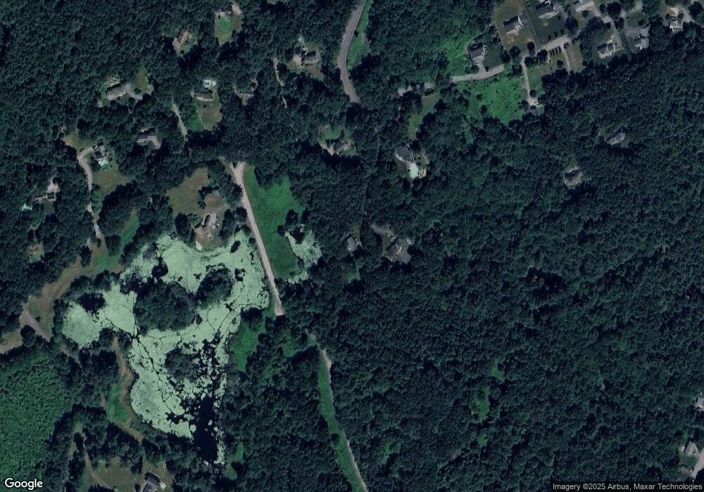
Map
Nearby Homes
- 30 Paul Revere Rd
- 351 Burroughs Rd
- 68 Macintosh Ln
- 404 Arlington St
- 134 Russet Ln
- 17 Cherry Ridge Rd
- 20 Lyons Ln Unit 20
- 20 Lyons Ln
- 349 Arlington St
- 207 Boxboro Rd
- 92 Willow St Unit 3
- 92 Willow St Unit 2
- 90 Willow St Unit 1
- 52 Mayfair Dr
- 542 Massachusetts Ave
- 4,7,8 Crestwood Ln
- 5 Elm St Unit 1
- 30-6 Taylor Rd
- 79 Robbins St
- 777 Depot Rd
- 302 Flagg Hill Rd
- 300 Flagg Hill Rd
- 304 Flagg Hill Rd
- 304 Flag Hill Rd
- 270 Flagg Hill Rd
- 344 Flagg Hill Rd
- 344 Flagg Hill Rd
- Lot C Flagg Hill Rd
- Lot B Flagg Hill Rd
- 30 Woodward Ln
- 33 Woodward Ln
- 0 0
- 23 Howard Ln
- 205 Flagg Hill Rd
- 164 Flagg Hill Rd
- 164 Flagg Hill Rd
- 20 Howard Ln
- 178 Flag Hill Rd
- 178 Flagg Hill Rd
- 65 Taylor Farm Rd